CITYGRID
city archive
Why it looks like this
Philip II fixed his court at Madrid in 1561, turning a modest Castilian town into a capital by decree; its location near the geometric middle of Iberia was part of the point, and Spain's radial roads still count their kilometres from Puerta del Sol's 'kilometre zero'.
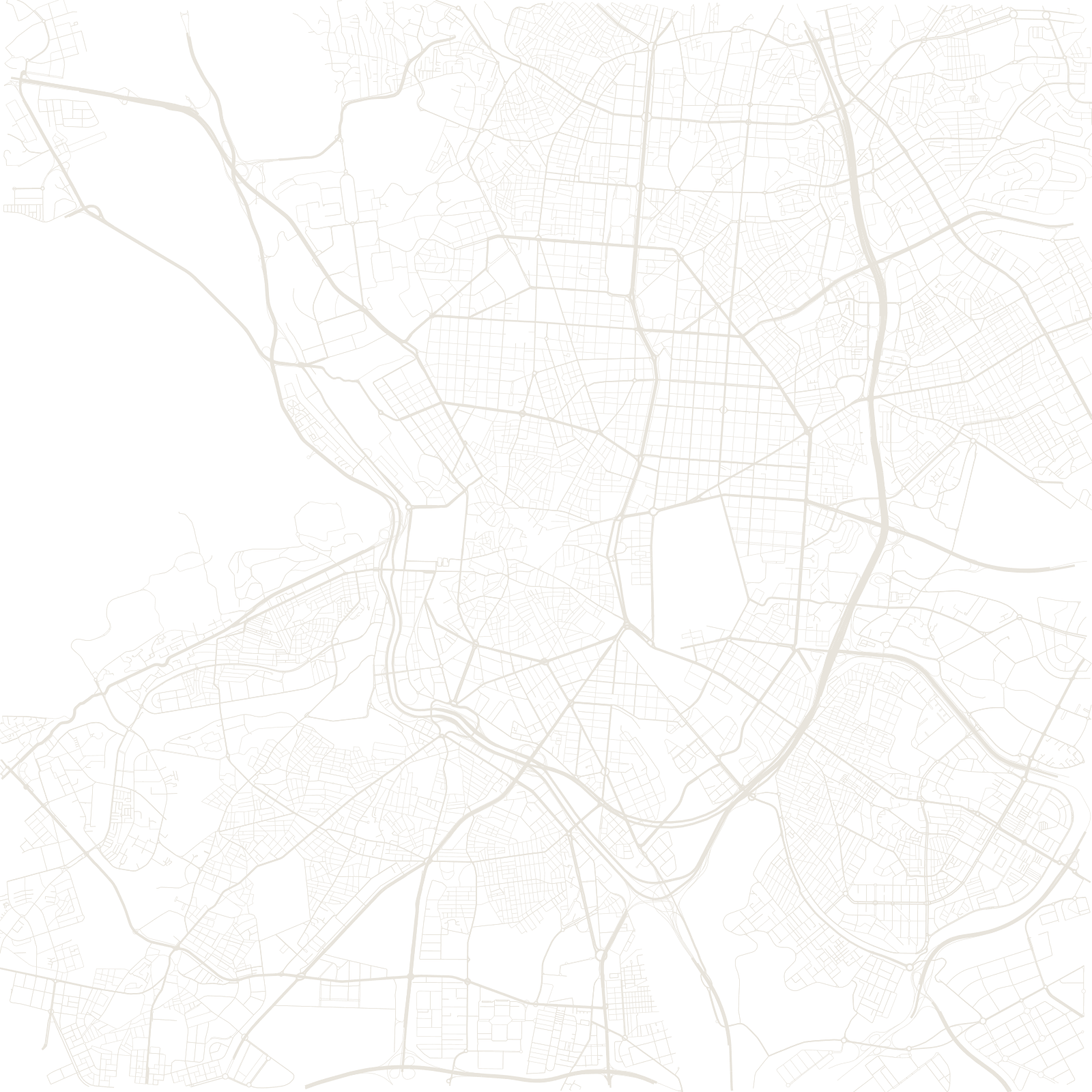
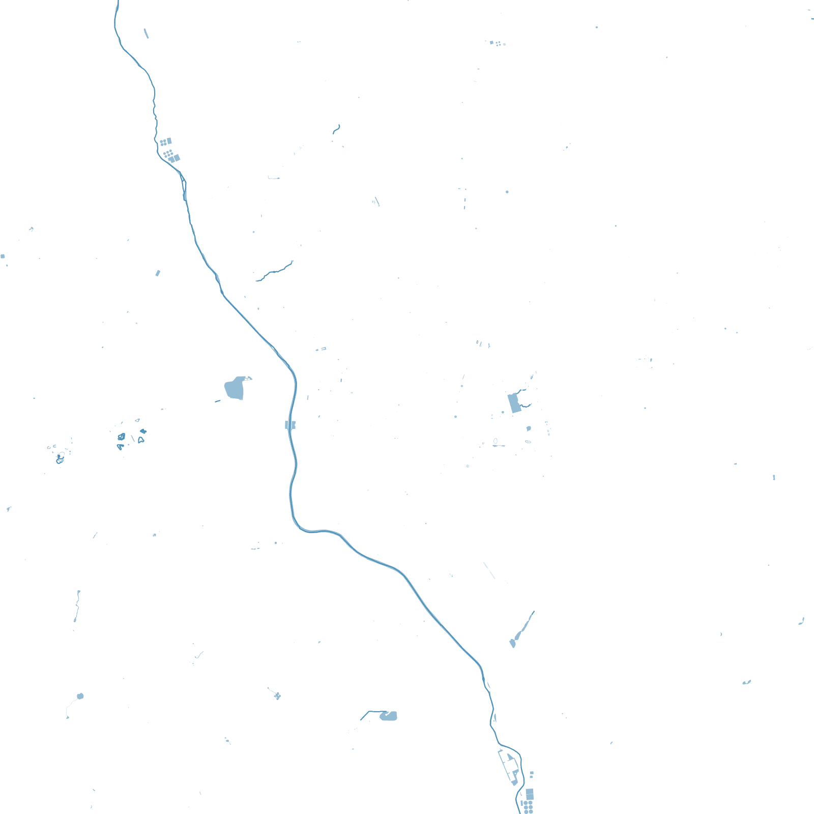
The map grew in rings of ideas: the tangled Habsburg core, the grand axes of the Bourbons, the ruler-straight 19th-century extension (the Salamanca district's grid), Gran Vía carved through old streets between 1910 and 1929, and the M-30 motorway ring — part of it now buried beneath a river park.
1561Philip II makes it capital
1910–29Gran Vía cut through the old town