CITYGRID
city archive

Why it looks like this
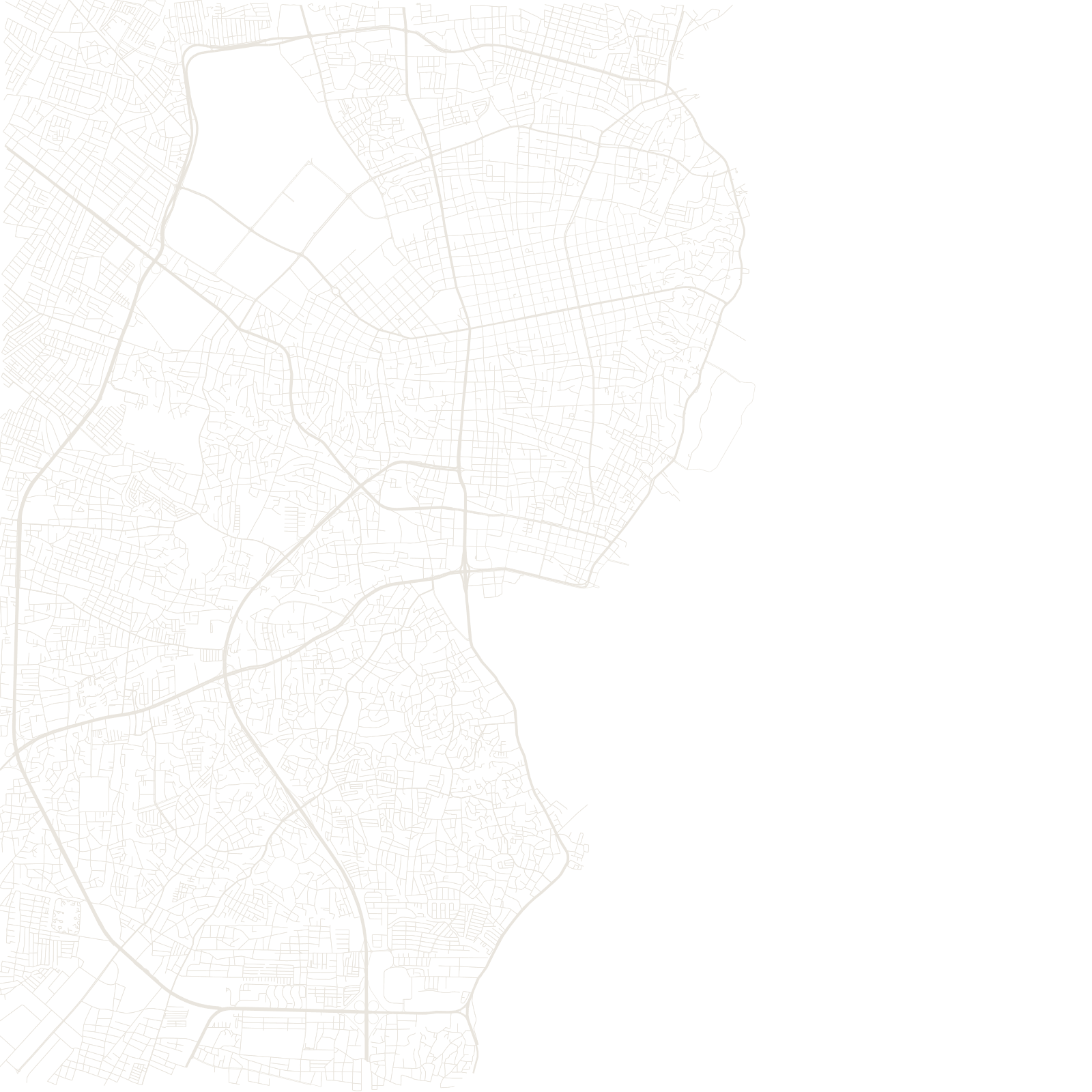
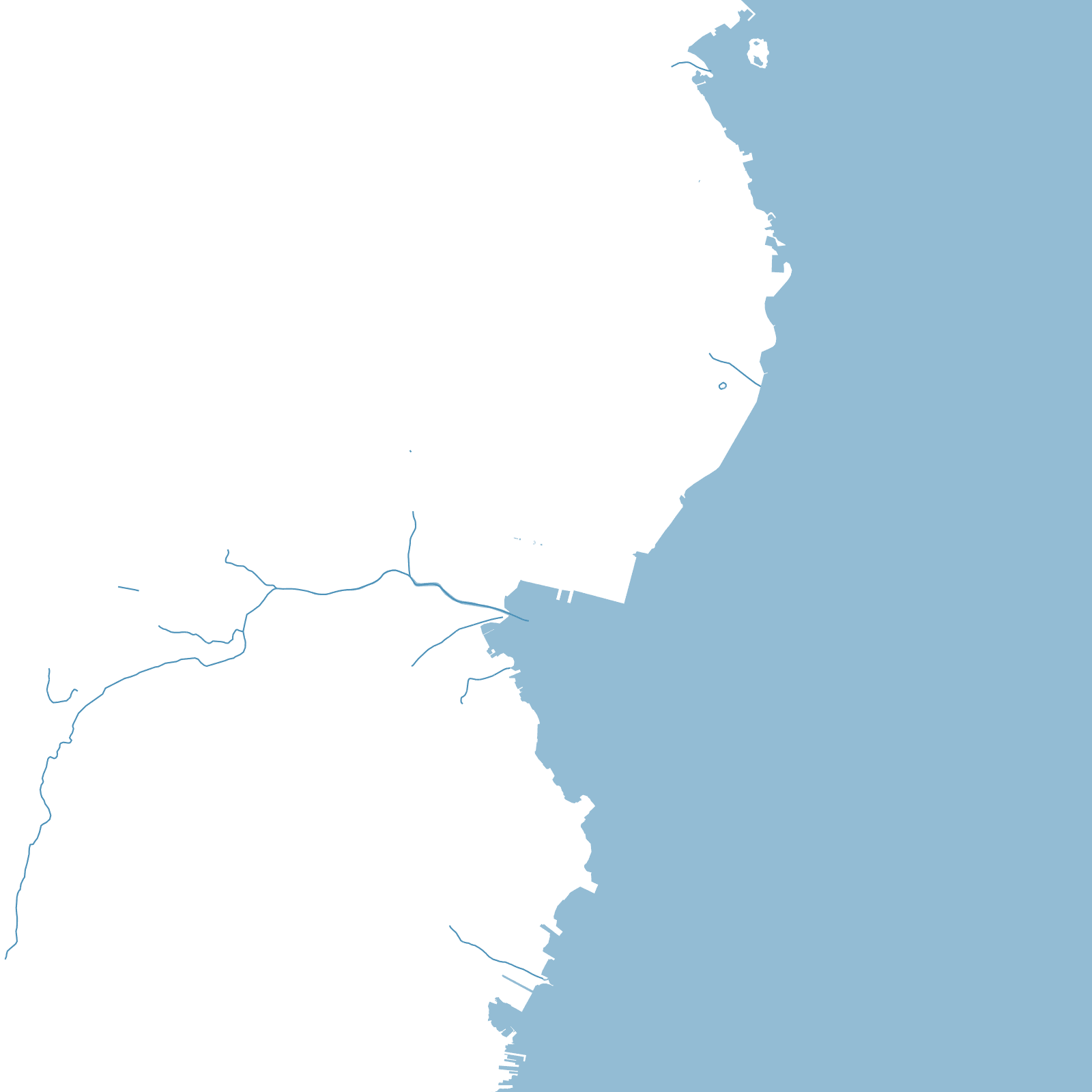
The city sits on the western side of the narrow channel connecting Lake Maracaibo to the Caribbean — the choke point that made it a colonial port and then, after oil was struck under the lake in the 1910s and 20s, the capital of Venezuela's petroleum industry. Derricks in the water, not fields, were its skyline's foundation.
The General Rafael Urdaneta Bridge, opened in 1962, crosses the lake's neck in a single 8.7-kilometre sweep of concrete — one of the longest bridges in Latin America — turning the lake's two shores into one metropolitan map.
1962General Urdaneta Bridge opened
8.7 kmits length across the lake neck