CITYGRID
city archive
Why it looks like this
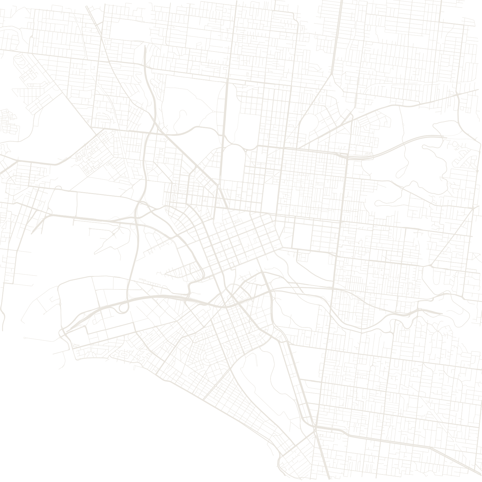
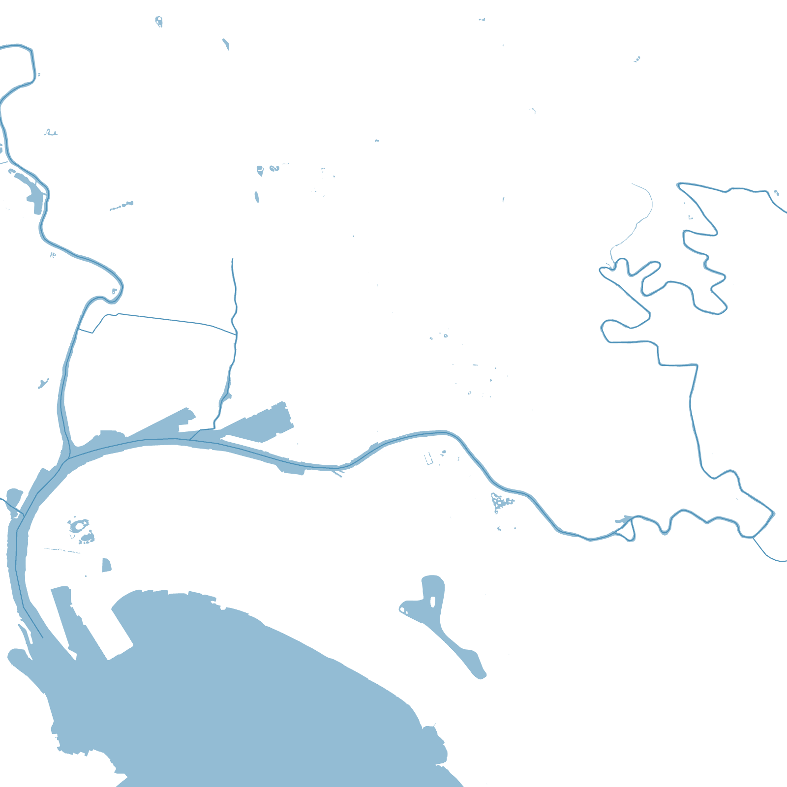
Surveyor Robert Hoddle laid out central Melbourne in 1837 in a single decisive drawing: a rectangle one mile long and half a mile deep beside the Yarra River, with generous 30-metre-wide streets — and, between each pair, a narrow service street ('Little Collins', 'Little Bourke') for stables and deliveries.
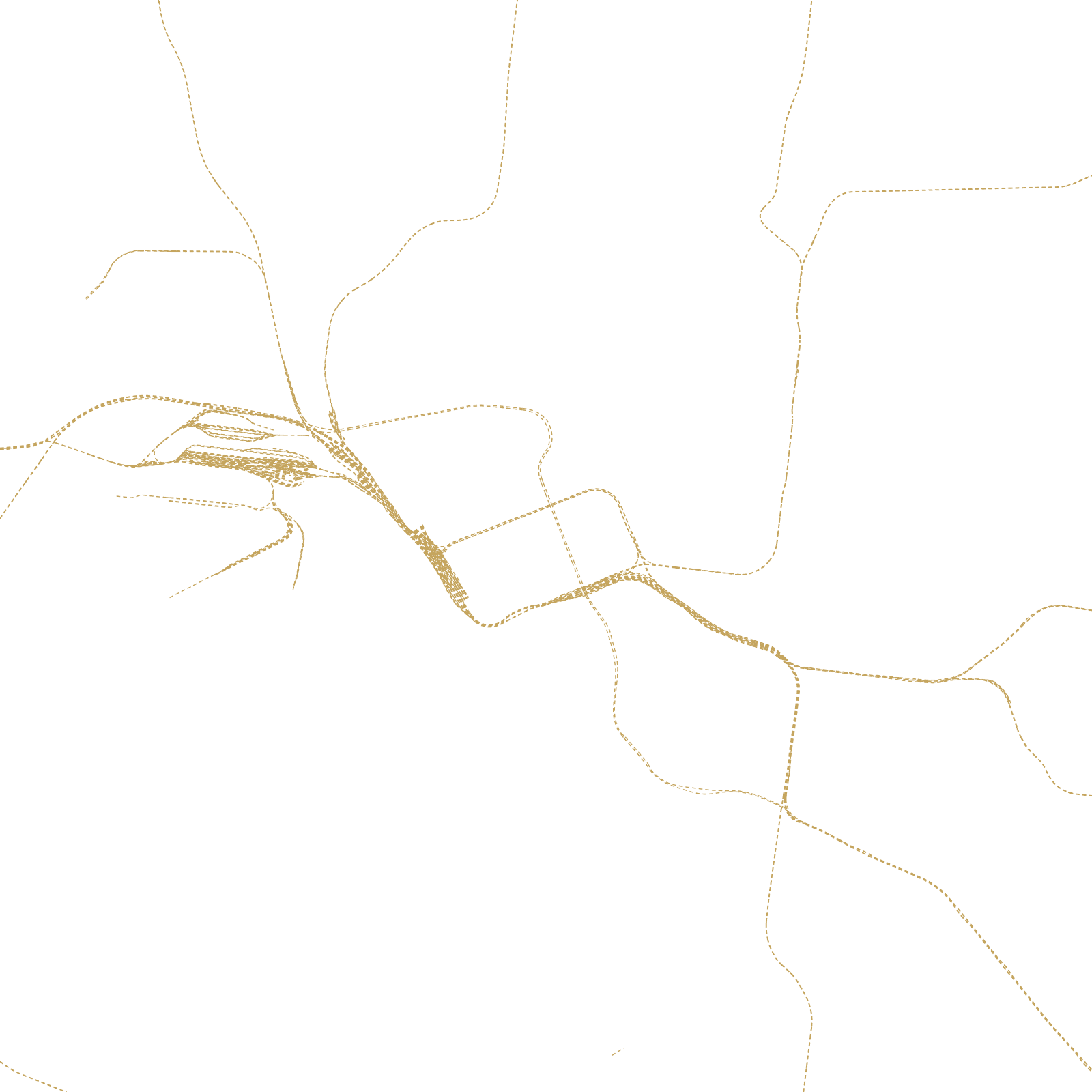
The gold rush of the 1850s made the young grid one of the richest cities in the world, and the service lanes evolved into Melbourne's celebrated laneway culture of cafés, bars and street art. Around the rigid rectangle, the suburbs spread along tram and rail lines in every direction.
1837Hoddle Grid laid out
1.6 × 0.8 kmsize of the grid
30 mwidth of the main streets