CITYGRID
city archive

Why it looks like this
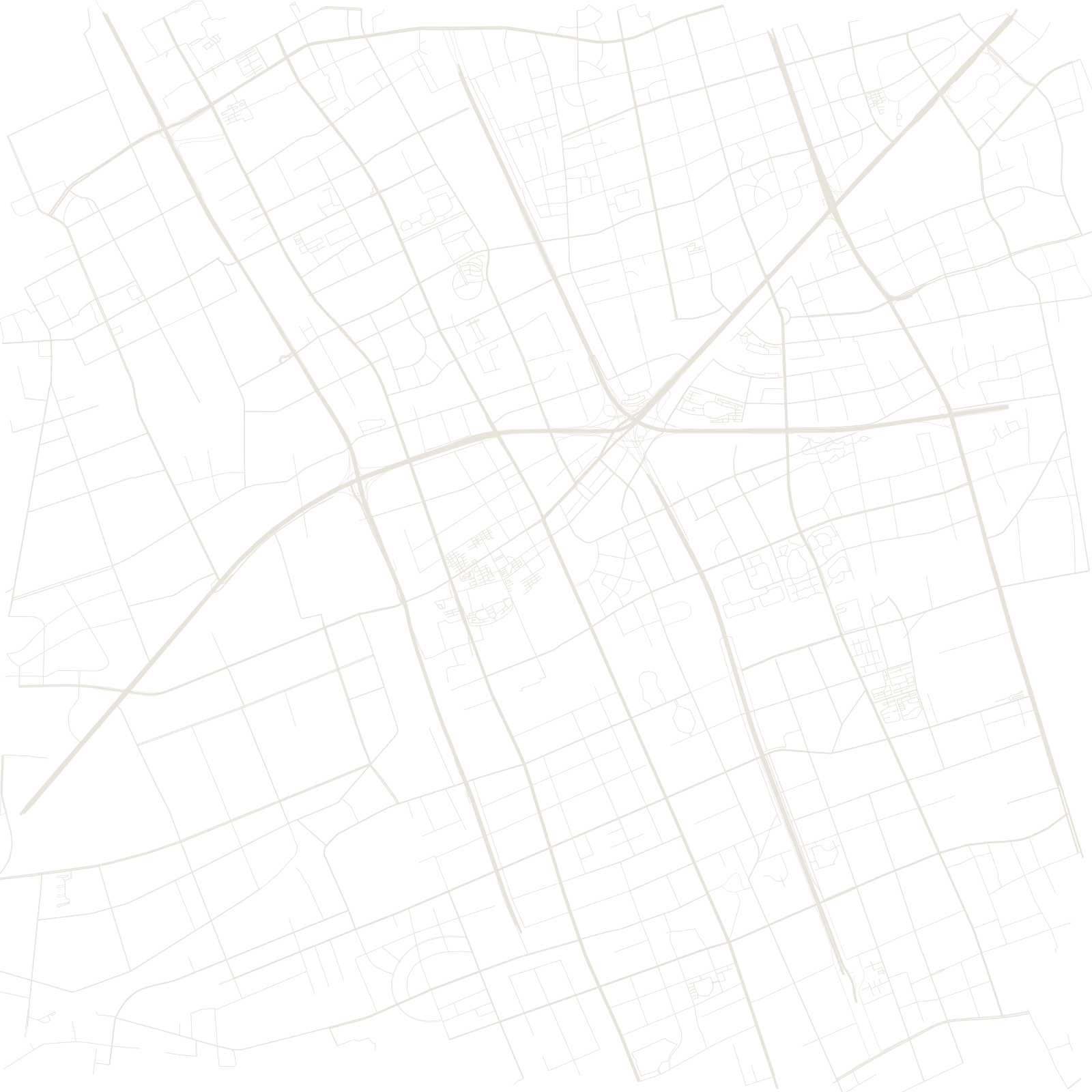
In 1959 Shanghai designated Minhang, then a riverside market town well outside the city, as a satellite industrial town: heavy machinery and electrical plants were built along the Huangpu, with planned workers' housing beside them — an early experiment in decentralizing the metropolis.
The metropolis then caught up and swallowed it. Today Minhang is inner suburbia — universities, tech parks and vast housing estates — with the Huangpu's great bend and the old industrial riverfront still structuring its map.
1959satellite industrial town designated