CITYGRID
city archive
Why it looks like this
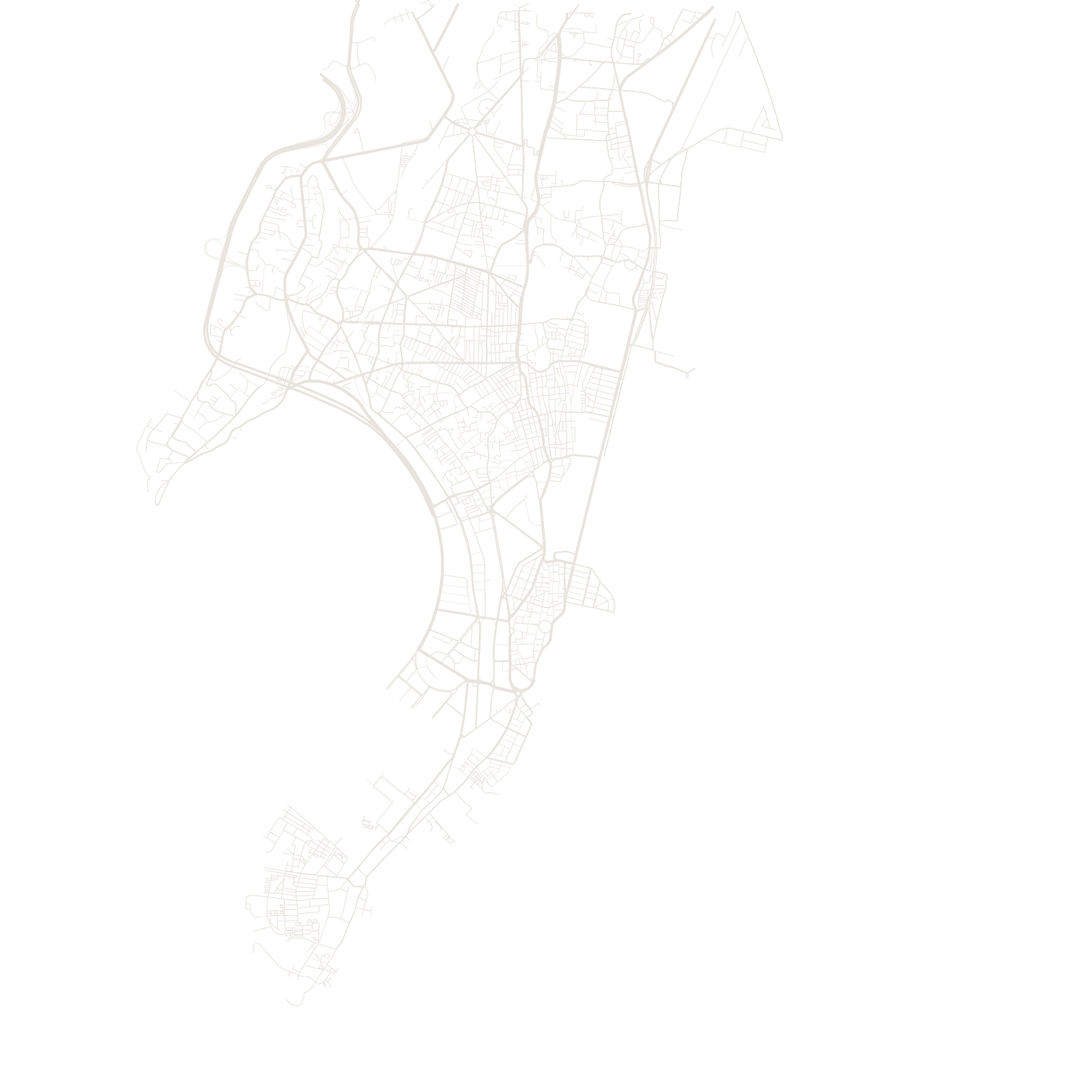
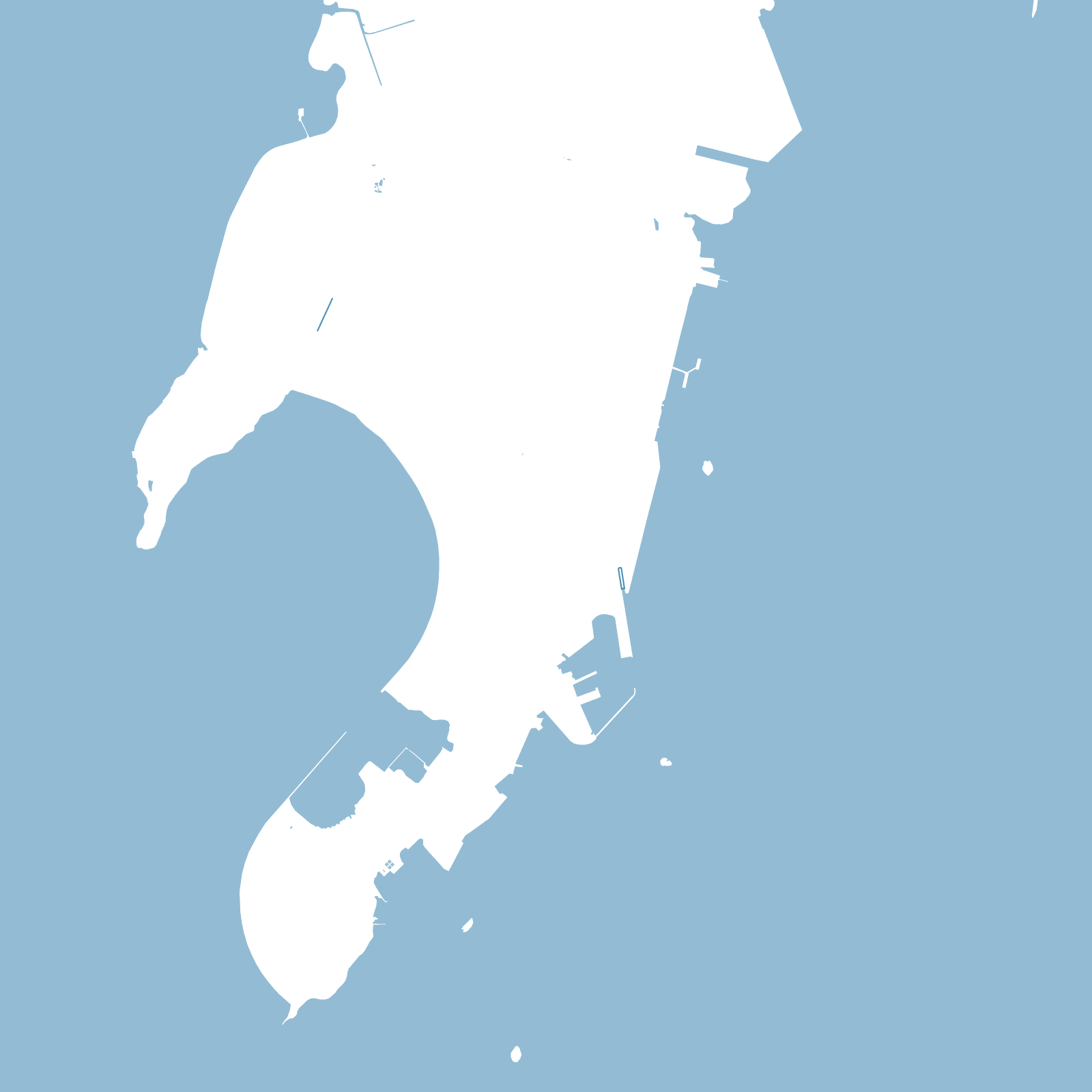
Mumbai began as seven low, wet islands. From the 1780s, causeways and land-filling projects — starting with the Hornby Vellard, built to close a dangerous sea gap at Mahalaxmi — slowly joined them into one long strip of land. The city has been narrow ever since: everything runs north–south, because there was never room to grow any other way.
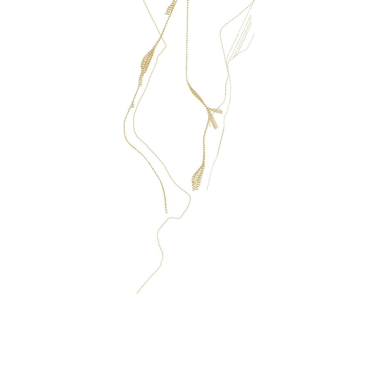
You can see that direction in every layer: the roads, the two big commuter rail lines, and the sea still pressing in on both sides of the map.
7original islands
1784Hornby Vellard begun
≈21 Mmetro population