CITYGRID
city archive

Why it looks like this
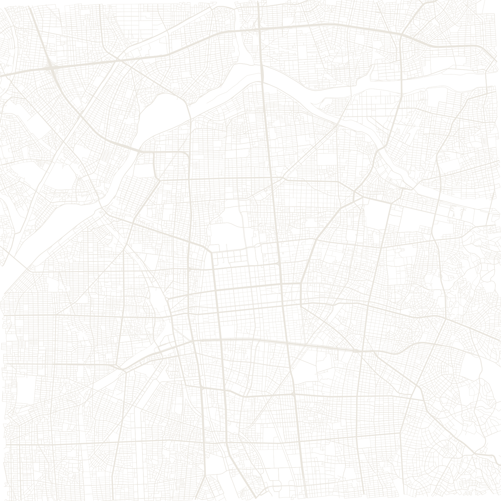
Nagoya began in 1610 as a planned castle town: Tokugawa Ieyasu moved an entire town to the site of his new castle, whose golden shachihoko (dolphin-like roof ornaments) became the city's emblem. The samurai-era grid south of the castle framed everything that followed.
Air raids burned the city in 1945, and Nagoya answered with one of Japan's boldest reconstruction plans: a superscale grid featuring two 100-metre-wide boulevards — one now a linear park with a TV tower standing in the middle of the street. The result is Japan's most car-scaled major city, capital of the Toyota region.
1610castle town founded
100 mwidth of its two great avenues