CITYGRID
city archive
Why it looks like this
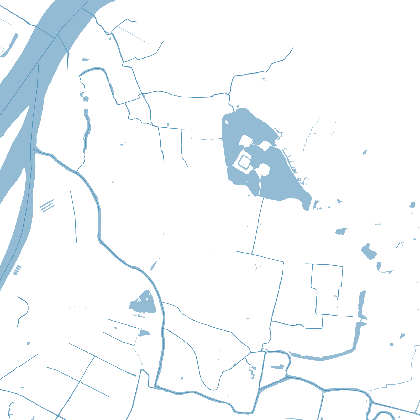
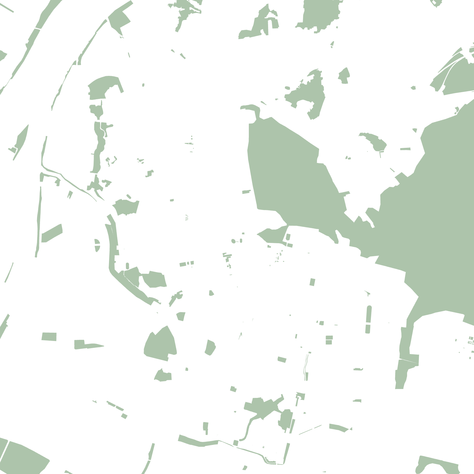
When Zhu Yuanzhang founded the Ming dynasty in 1368, he made Nanjing his capital and gave it a wall to match: over three decades, hundreds of thousands of workers raised roughly 35 kilometres of brick and stone — each brick stamped with its maker's name for quality control. Uniquely, the wall ignores the traditional square: it bends with Purple Mountain, Xuanwu Lake and the Yangtze's edge.
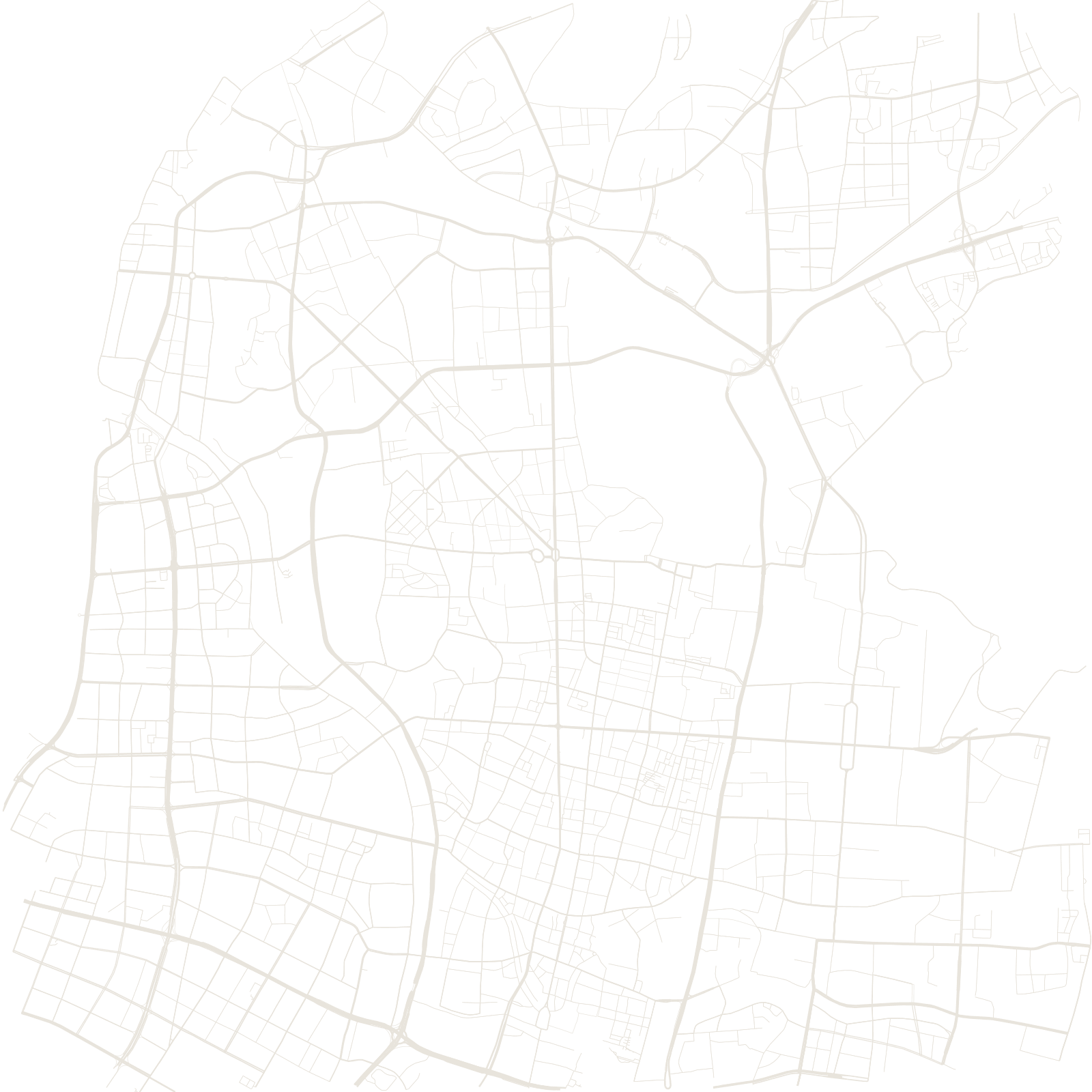
Most of the circuit still stands, and the modern city grew inside and around it — so the map shows a street network flowing through ancient gates, between lake, mountain and river.
≈35 kmMing city wall
1368capital of the Ming empire