CITYGRID
city archive
Why it looks like this
By the 1960s Mumbai's long, narrow island was choking, so planners proposed a counter-city on the mainland across Thane Creek. CIDCO, the development corporation, began building in 1971: not one centre but a necklace of planned nodes — Vashi, Belapur, Kharghar and more — each a self-contained township wrapped around its own railway station.
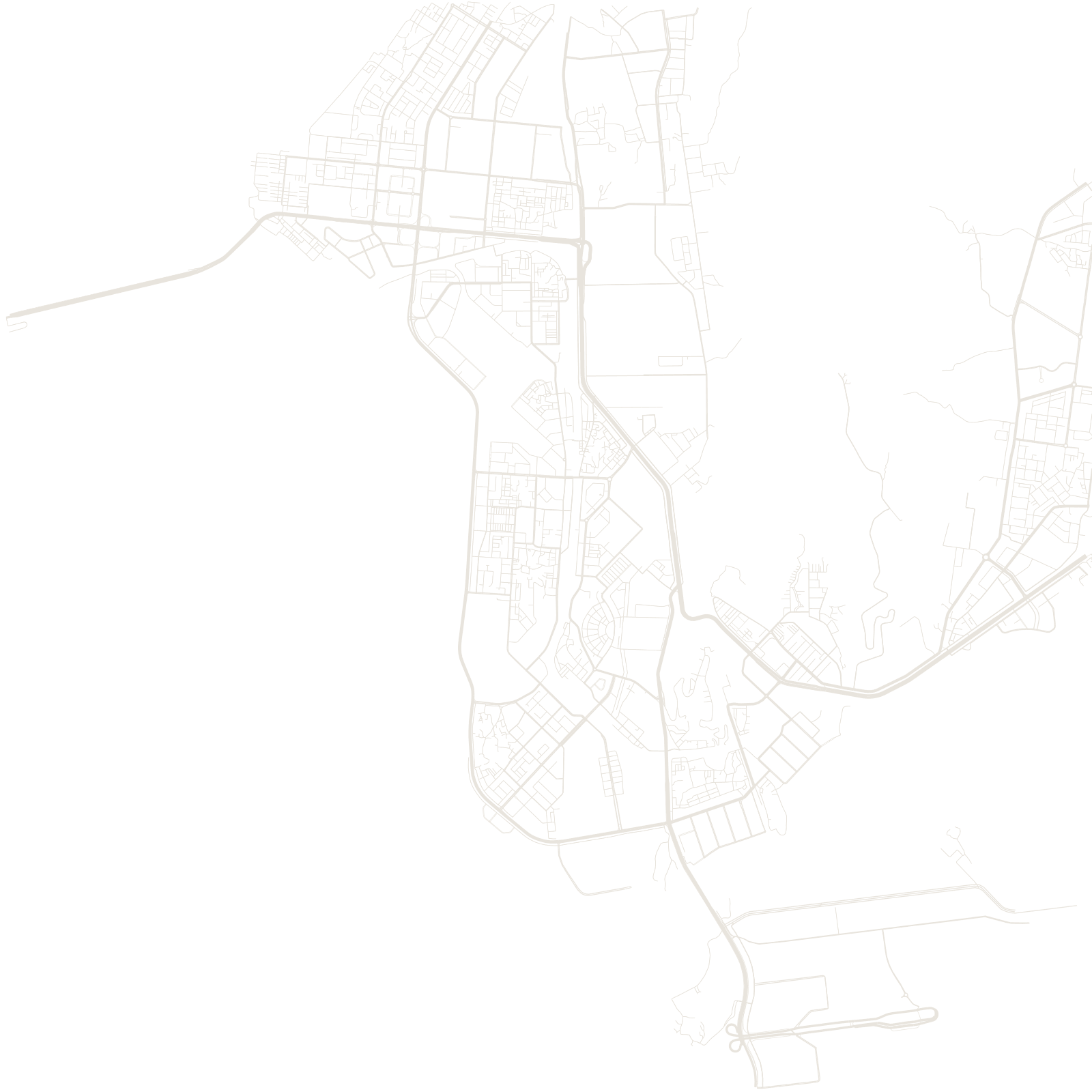
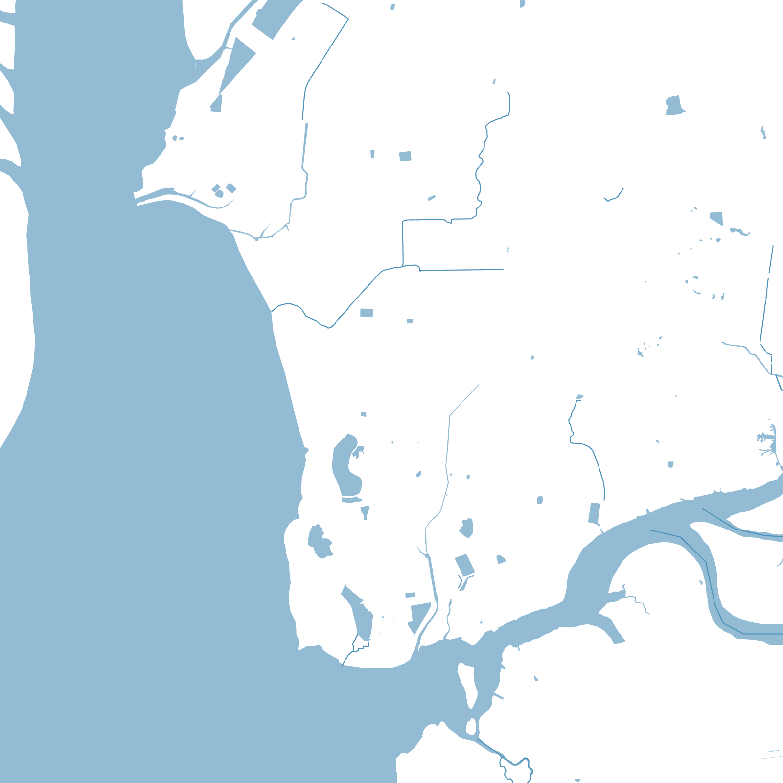
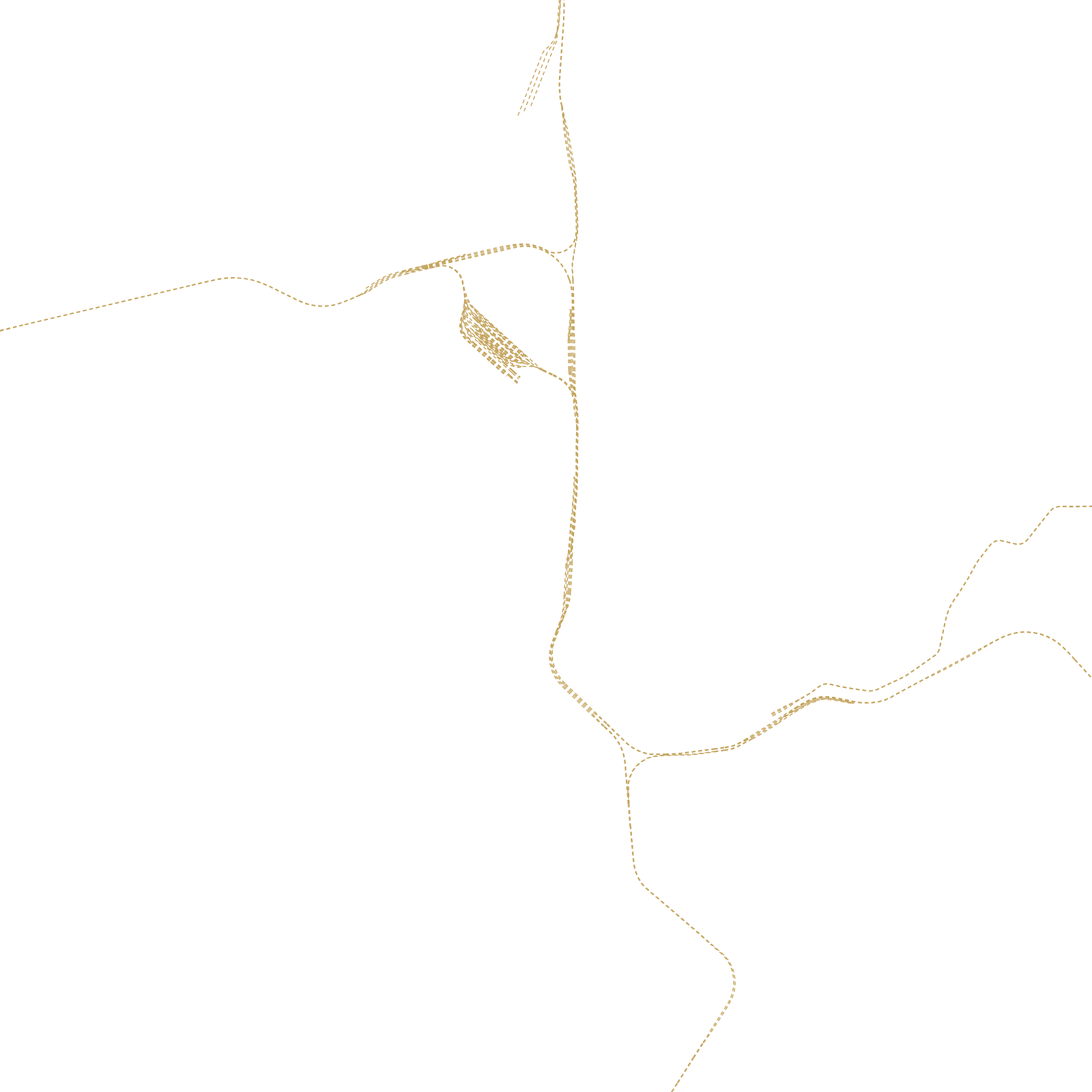
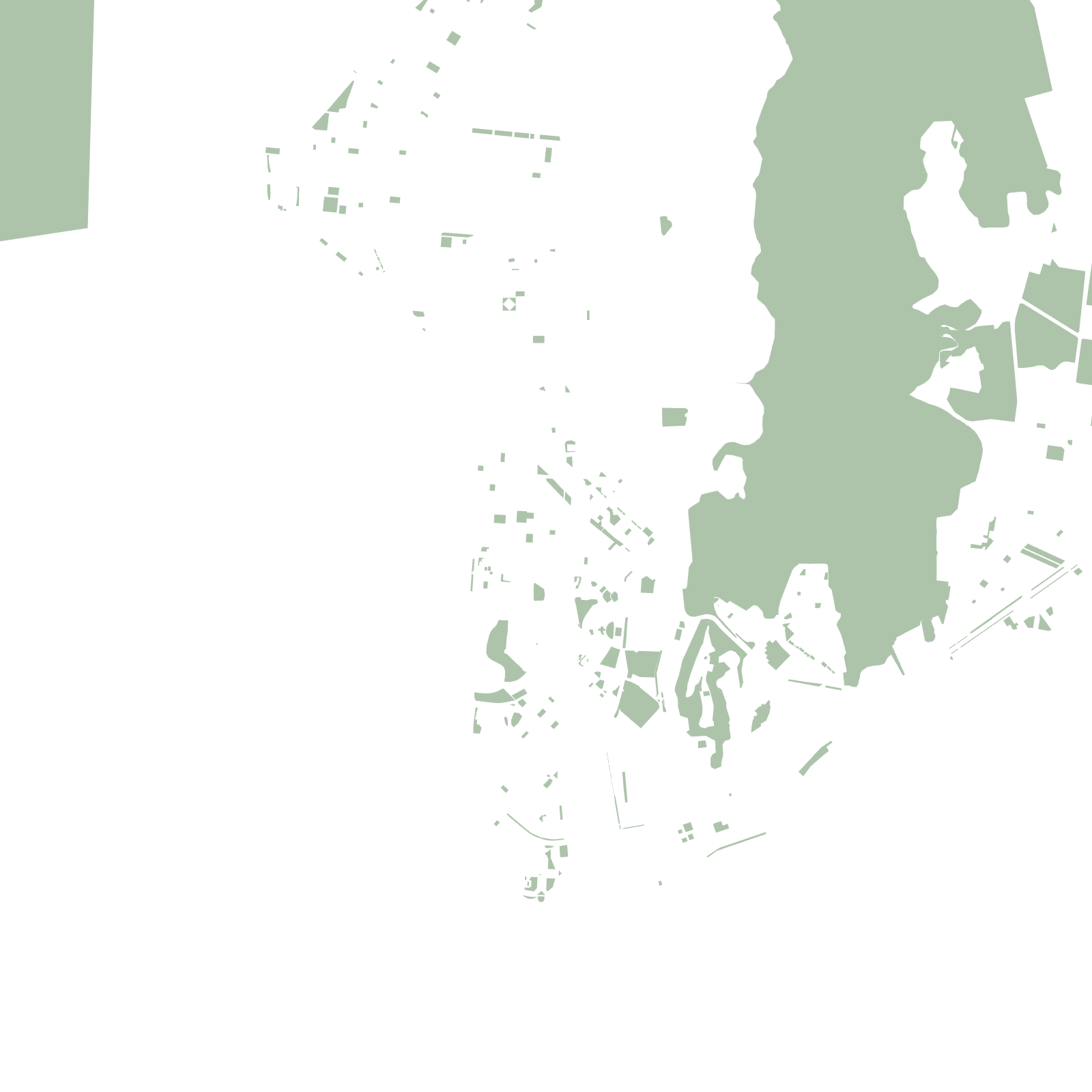
The map shows the concept clearly: repeated planned street patterns in separate clusters along the rail spines, with mangrove creeks and hills between them, and a new airport rising in the middle of the plan.
1971construction began
14planned nodes