CITYGRID
city archive
Why it looks like this
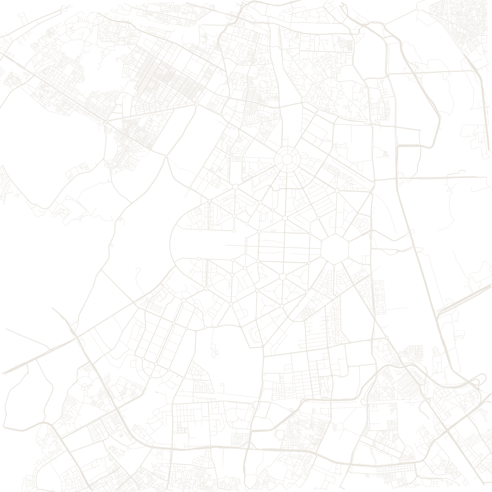
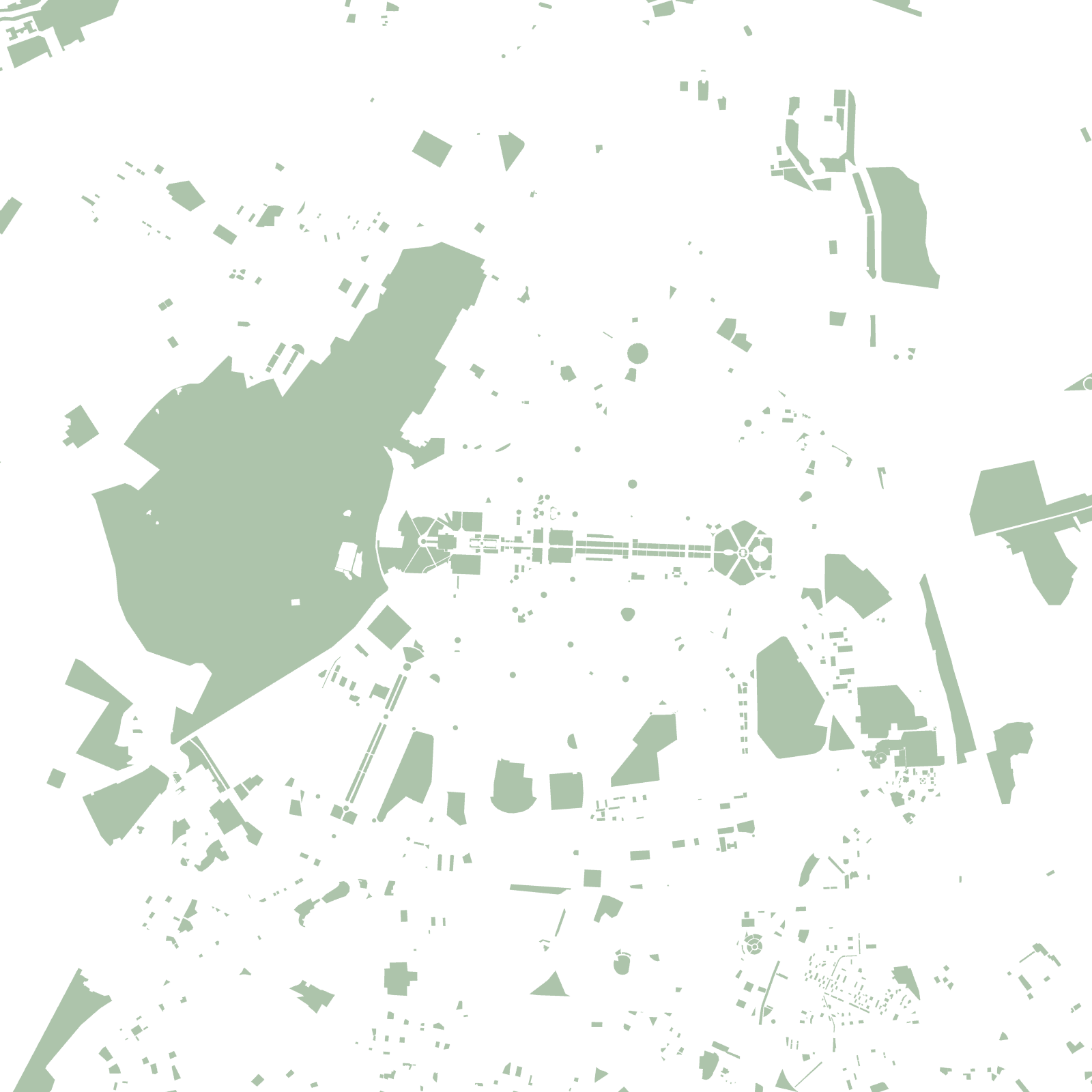
The southern half of this map is pure geometry: hexagons, triangles and long straight avenues, drawn by Edwin Lutyens and Herbert Baker after the British moved their capital from Calcutta in 1911. It is a garden city at giant scale — big houses on huge plots, trees over every avenue, and one straight ceremonial road, Kartavya Path, running from Rashtrapati Bhavan to India Gate.
The dense knot of streets to the north is Shahjahanabad — Old Delhi — the walled Mughal capital built in 1648. The two cities were never mixed together: the neat grid simply stops where the old city begins.
1931capital inaugurated
60°Lutyens' avenue angles
≈32 MDelhi metro population