CITYGRID
city archive

Why it looks like this
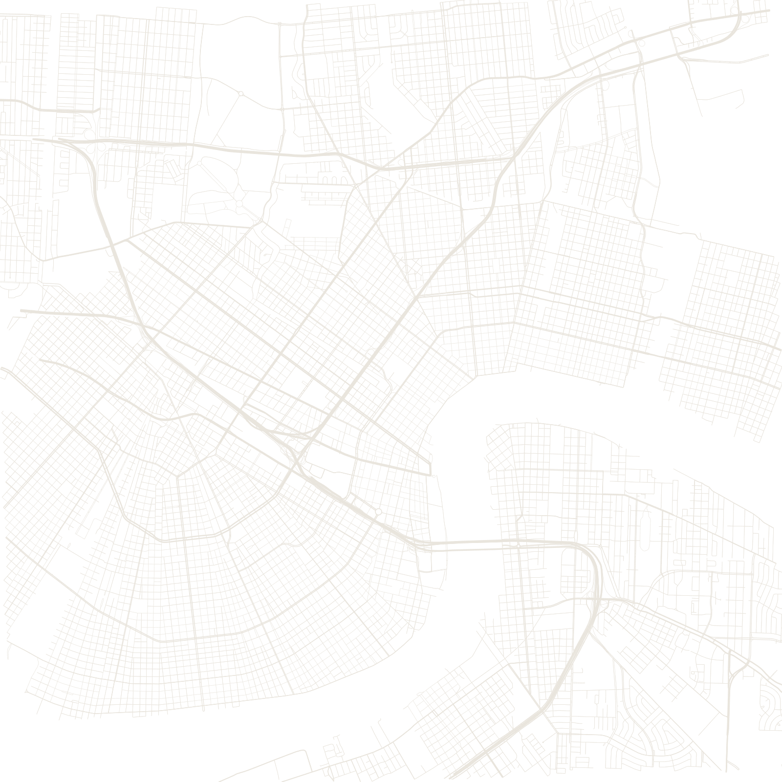
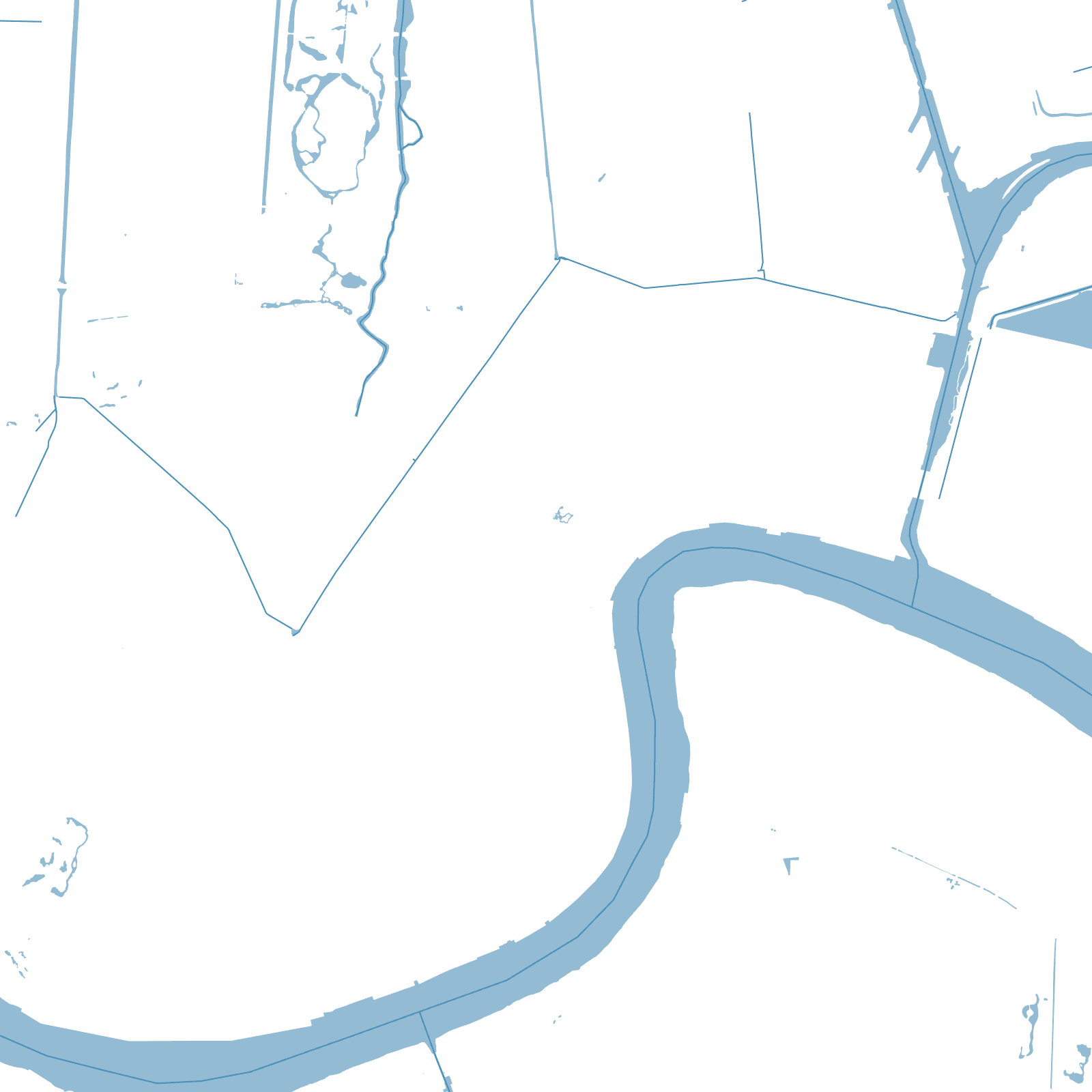
The French laid out the Vieux Carré in 1721 as a neat grid inside a bend of the Mississippi, and every later neighbourhood followed the river's arc: plantation boundaries ran inland from the curving bank like spokes, so the streets between them fan open and pinch closed — which is why avenues meet at strange angles and 'uptown' and 'downtown' follow the current, not the compass.
The other force is elevation. The city began on the river's natural high ground and later drained the swamps behind it; roughly half of New Orleans now sits below sea level, ringed by levees and emptied by pumps — a geometry that decided who flooded when Katrina broke the walls in 2005.
1718founded by the French
≈50%of the city below sea level