CITYGRID
city archive
Why it looks like this
This is the part of Hong Kong that came with an expiry date: leased in 1898 for ninety-nine years, its deadline eventually forced the handover of the entire territory in 1997. For decades it stayed rural — rice terraces, market towns, and centuries-old walled villages of the Punti clans.
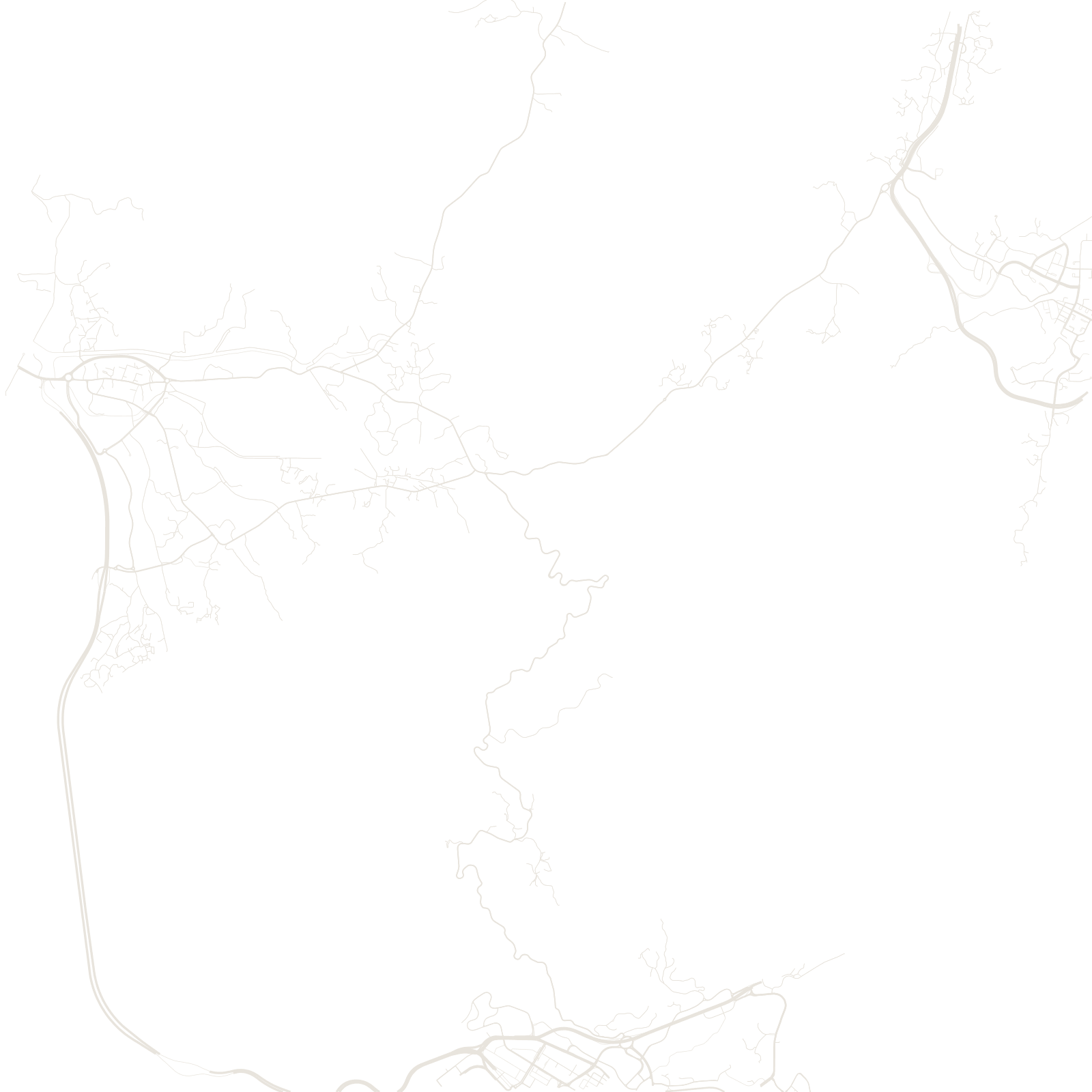
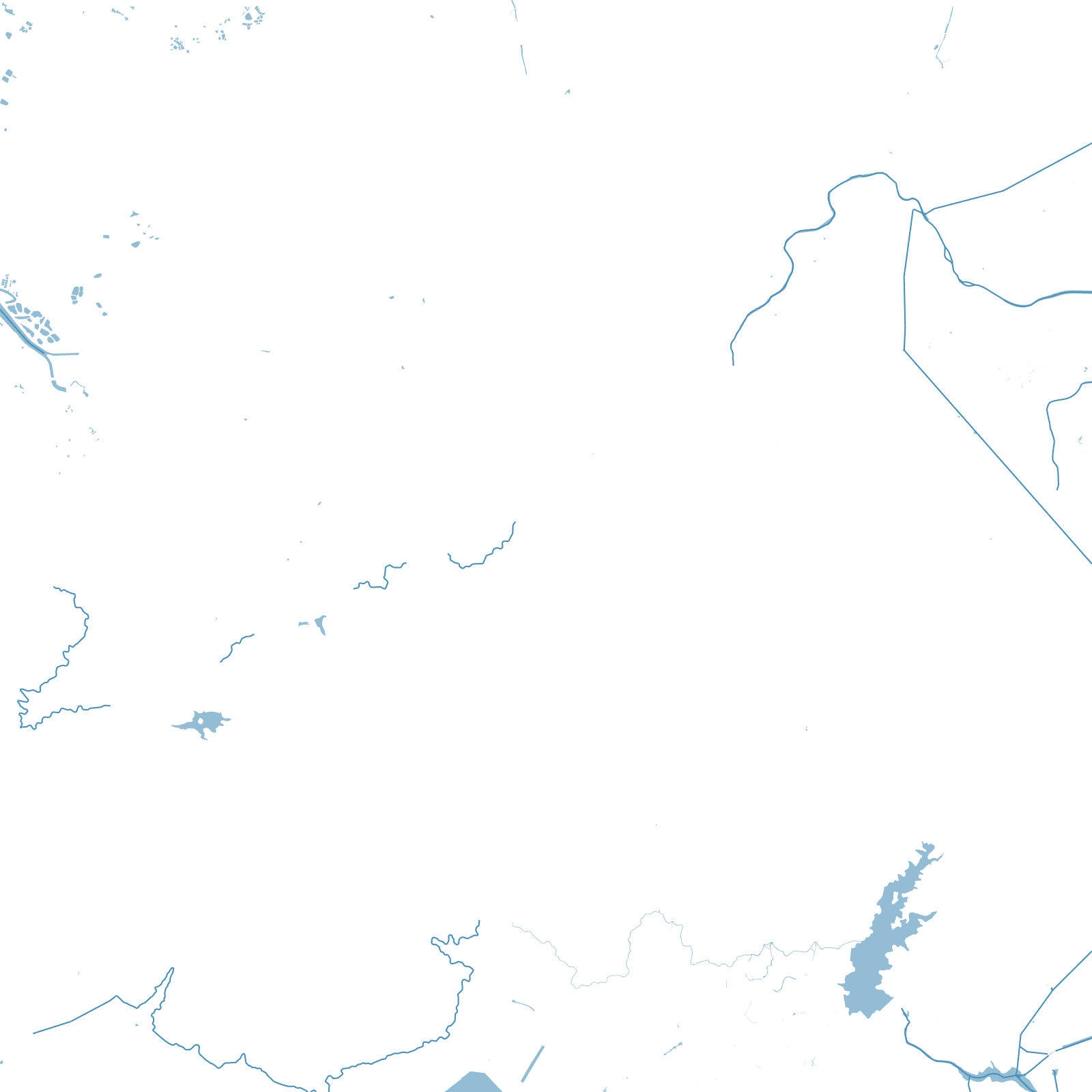
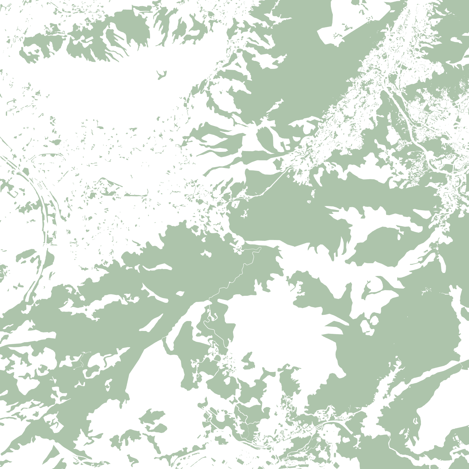
Then Hong Kong ran out of room. From the 1970s the government built giant new towns — Sha Tin, Tuen Mun, Tai Po and more — dense clusters of towers on reclaimed bays and levelled valleys, linked by rail. The map is that collision: hyper-planned tower towns dropped into mountains, with tiny ancient village grids still embedded between them.
189899-year lease begins
1997handover of Hong Kong