CITYGRID
city archive
Why it looks like this
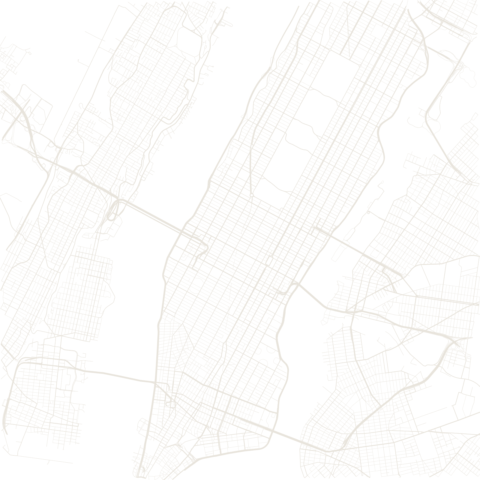
In 1811, a state commission drew roughly two thousand rectangular blocks over a mostly rural island — no circles, no curves, and no respect for hills, which were simply flattened. The sameness was the point: identical blocks were easy to measure, sell and build.
The one exception cuts across the whole map: Broadway follows the Wickquasgeck trail, a Native American path older than the city itself. Where it crosses the grid at an angle, the leftover spaces became famous squares — Union, Madison, Herald, Times.
1811Commissioners' Plan
≈29°grid tilt from true north
≈8.5 Mcity population