CITYGRID
city archive
Why it looks like this
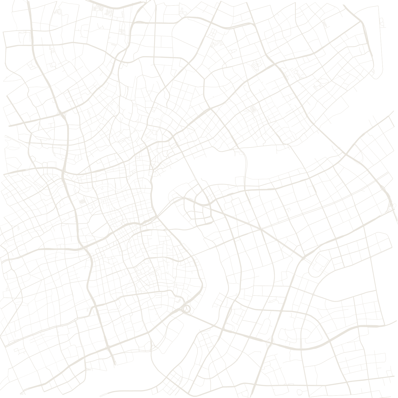
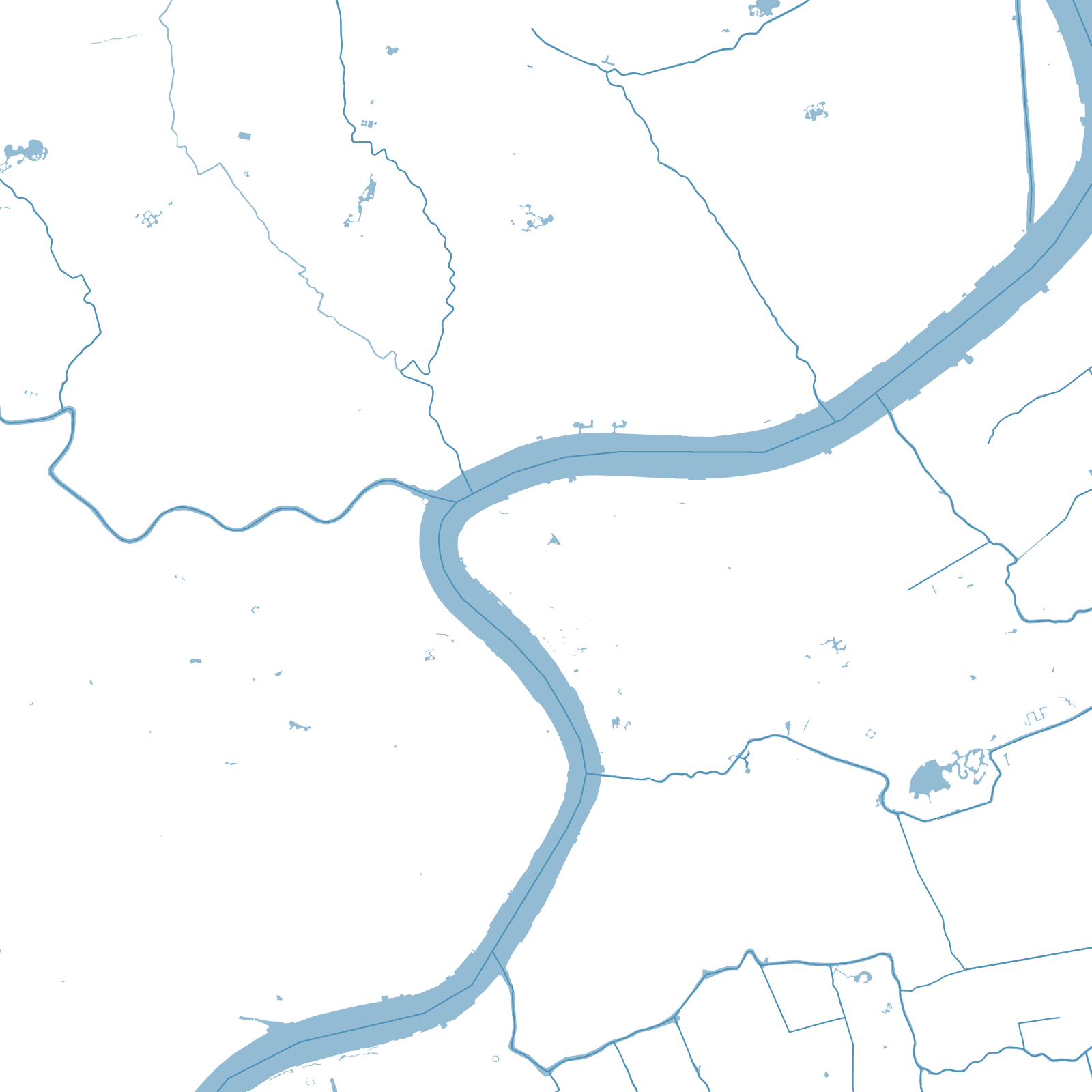
For a century, Shanghai meant the west bank of the Huangpu; Pudong — 'east of the river' — was warehouses, docks and fields, famously 'a bed in Puxi over a room in Pudong' in local preference. In 1990 Beijing declared the Pudong New Area, and one of history's fastest urban builds began.
Lujiazui's towers rose directly opposite the colonial Bund; Century Avenue was cut as a five-kilometre axis to a new civic centre; and planned districts, free-trade zones, two stock-exchange-era business quarters and Disneyland filled in the farmland. The map is what a 30-year-old megacity looks like: wide, planned and everywhere the same age.
1990Pudong New Area declared
632 mShanghai Tower