CITYGRID
city archive

Why it looks like this
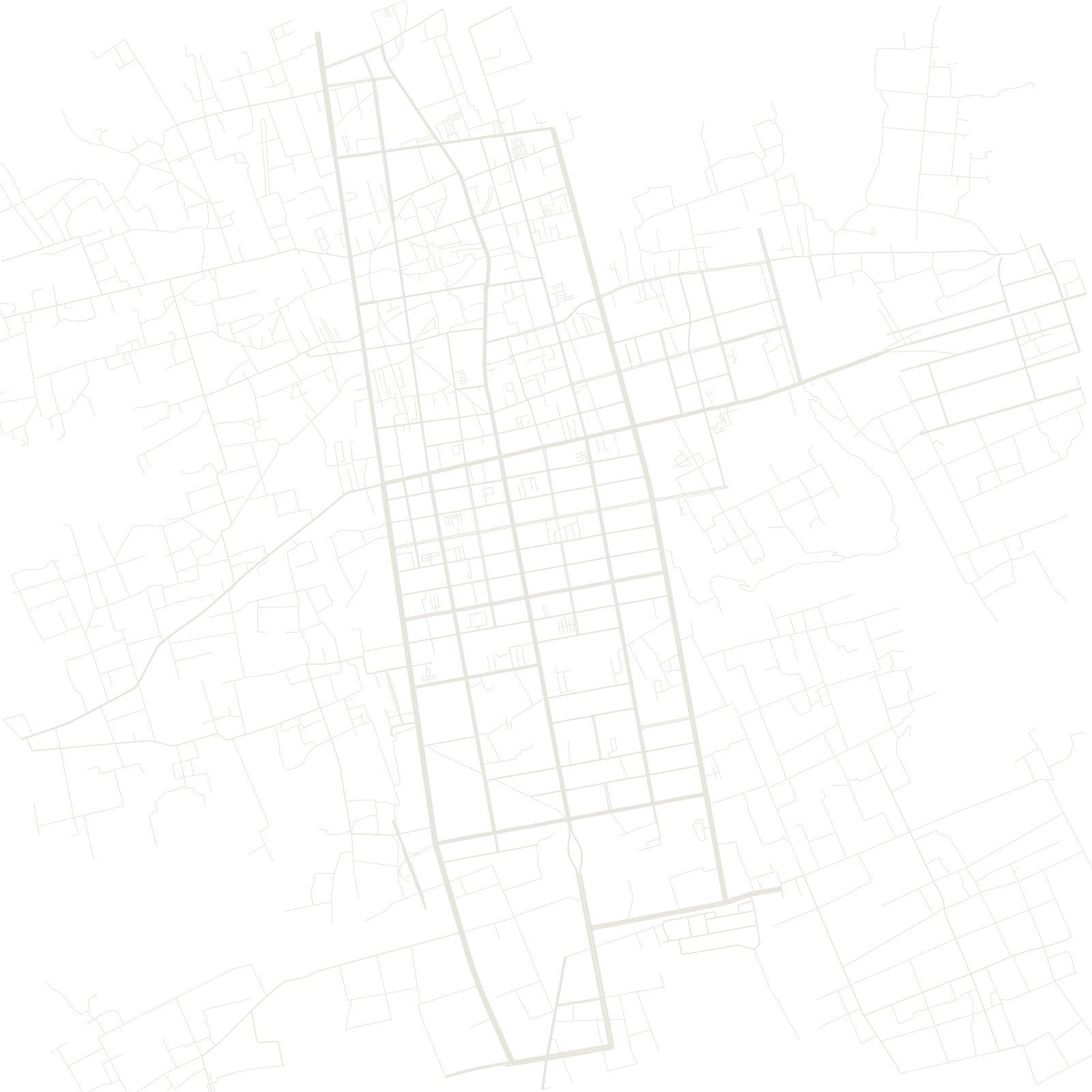
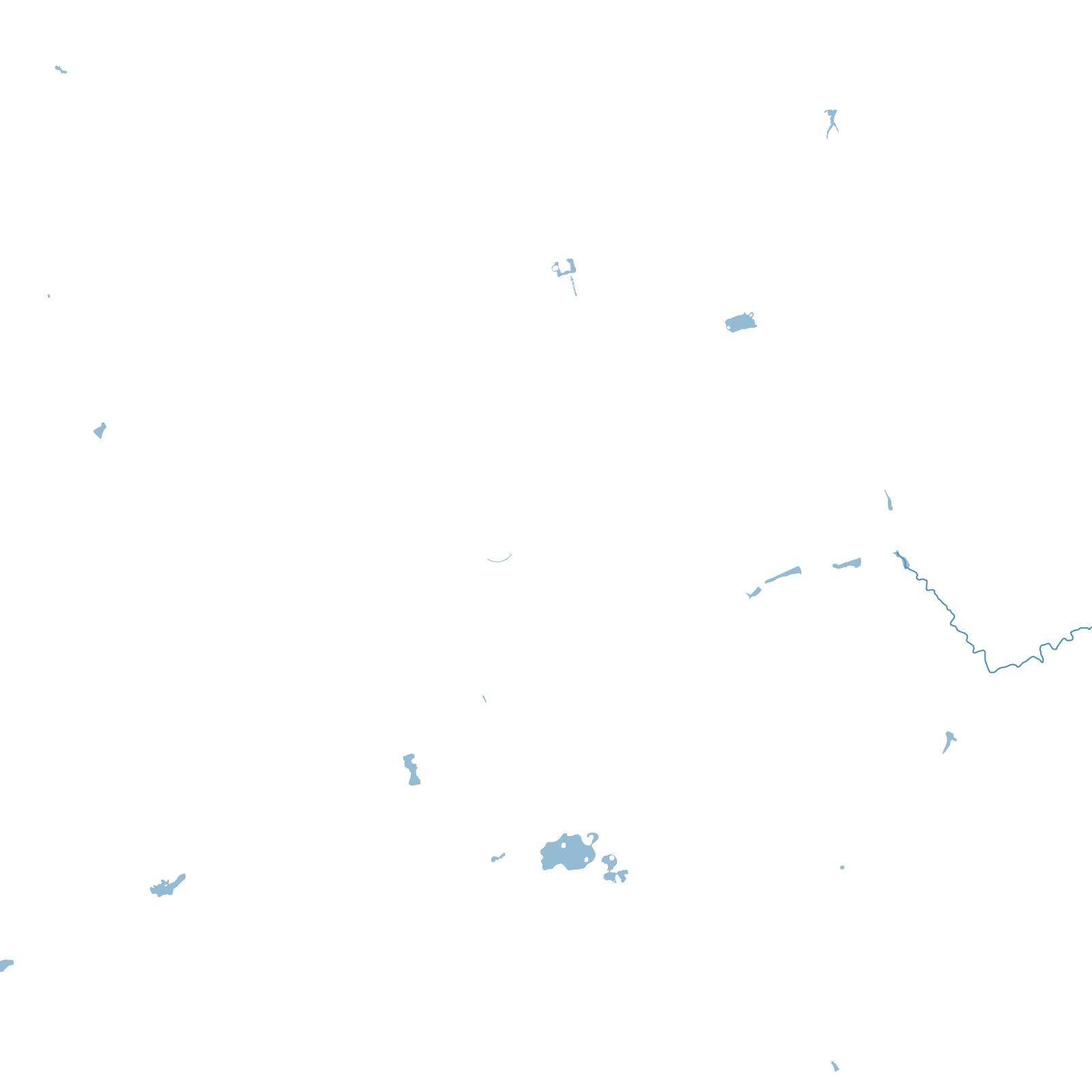
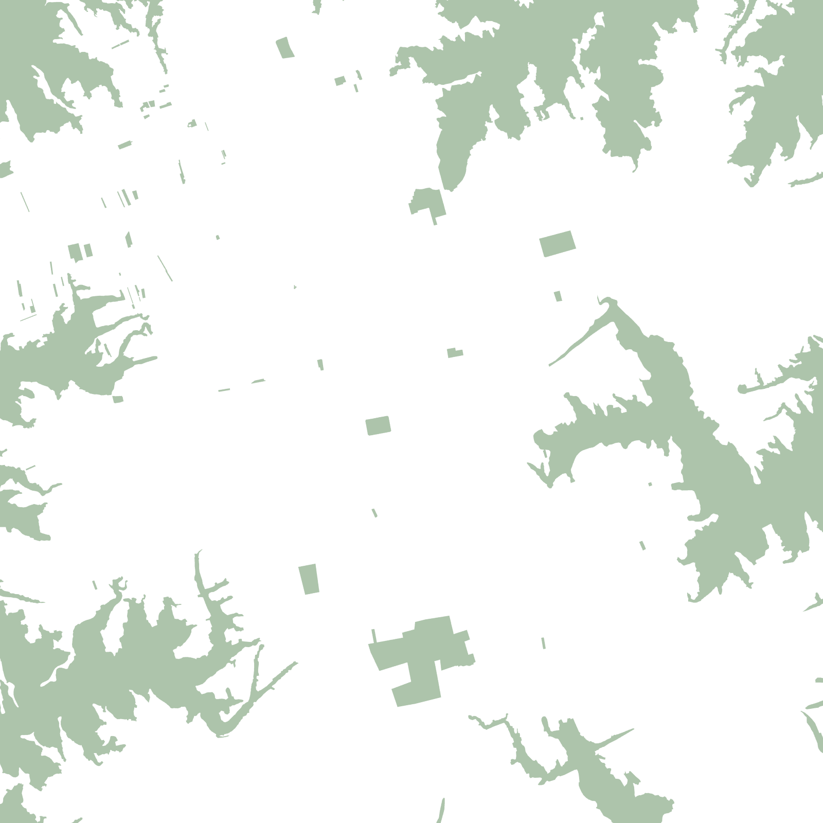
This is loess country: wind-laid yellow earth hundreds of metres thick, carved by erosion into flat 'yuan' tablelands separated by steep ravines. Qingyang's districts sit on the tablelands — including one of the largest intact loess plateaus, the Dongzhiyuan — and the map's strange edges are where streets stop at gully rims.
The region is old dry-farming country with cave-house villages in its slopes, and more recently an oil and gas base on the Ordos basin's edge.