CITYGRID
city archive
Why it looks like this
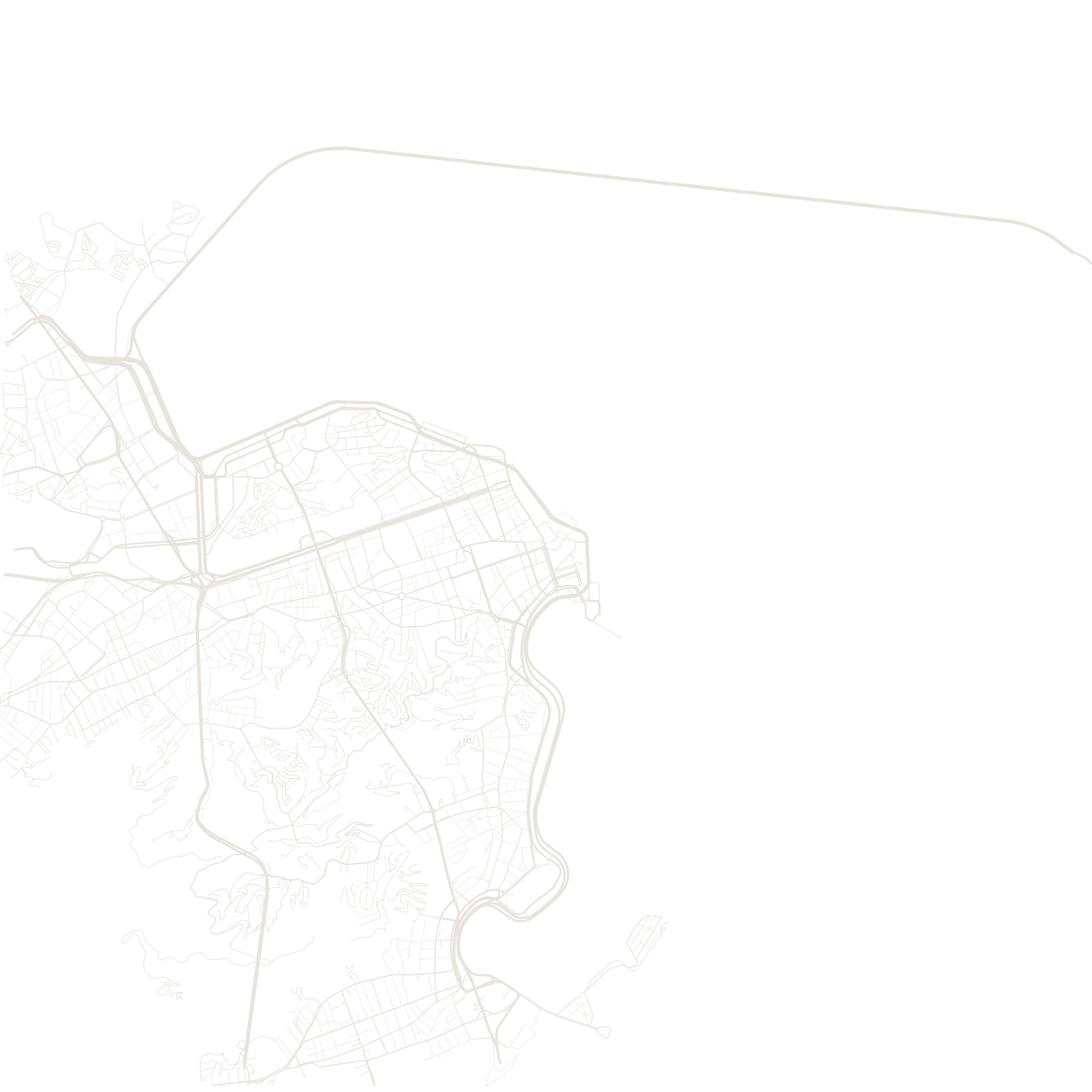
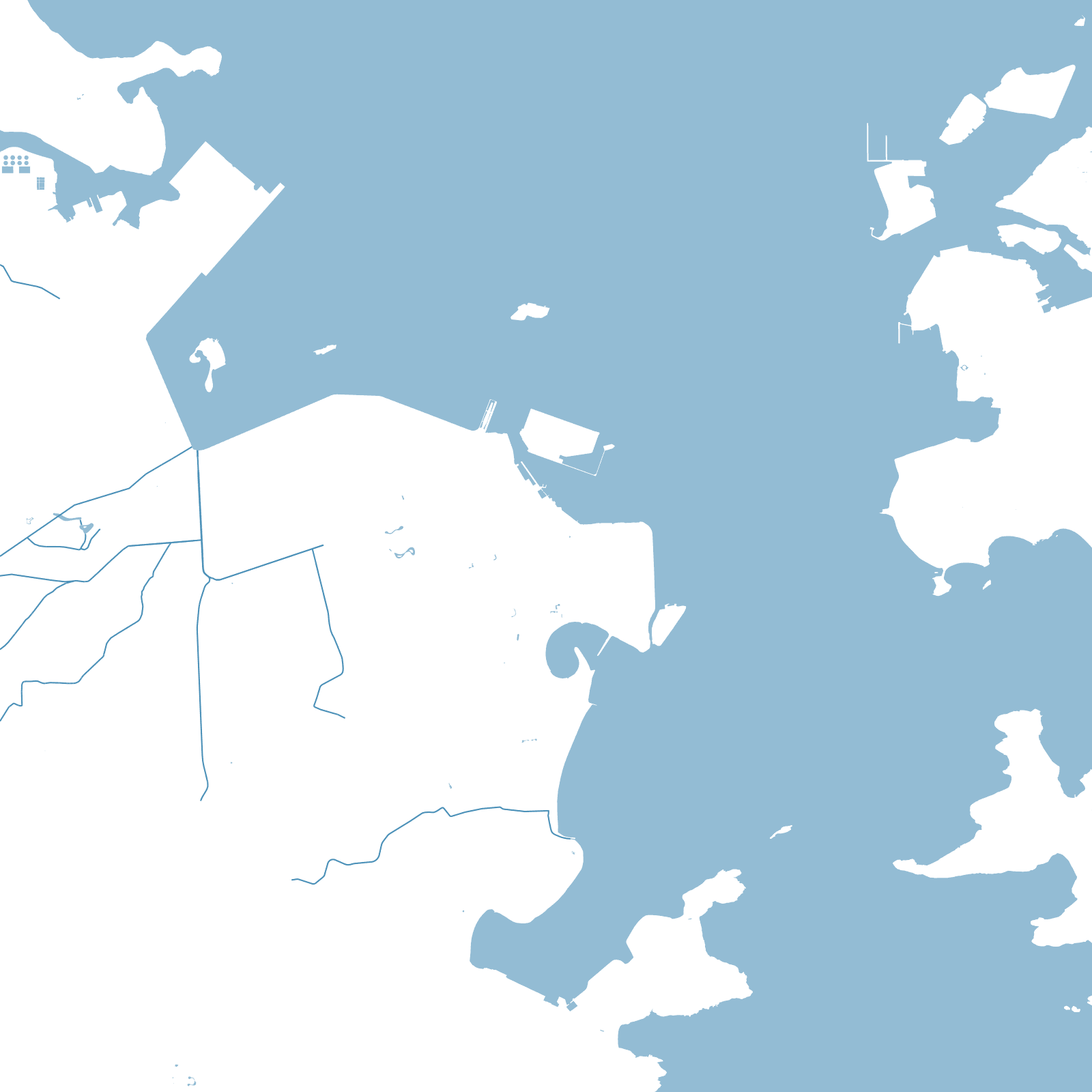
Rio's map is what happens when a city grows around mountains it cannot remove: Sugarloaf, Corcovado and dozens of other granite domes stand inside the urban area, and the street network flows around them like water. Copacabana's grid, for example, is sealed in its own bag of mountains — the tunnels cut from 1892 onward are the only ways in.
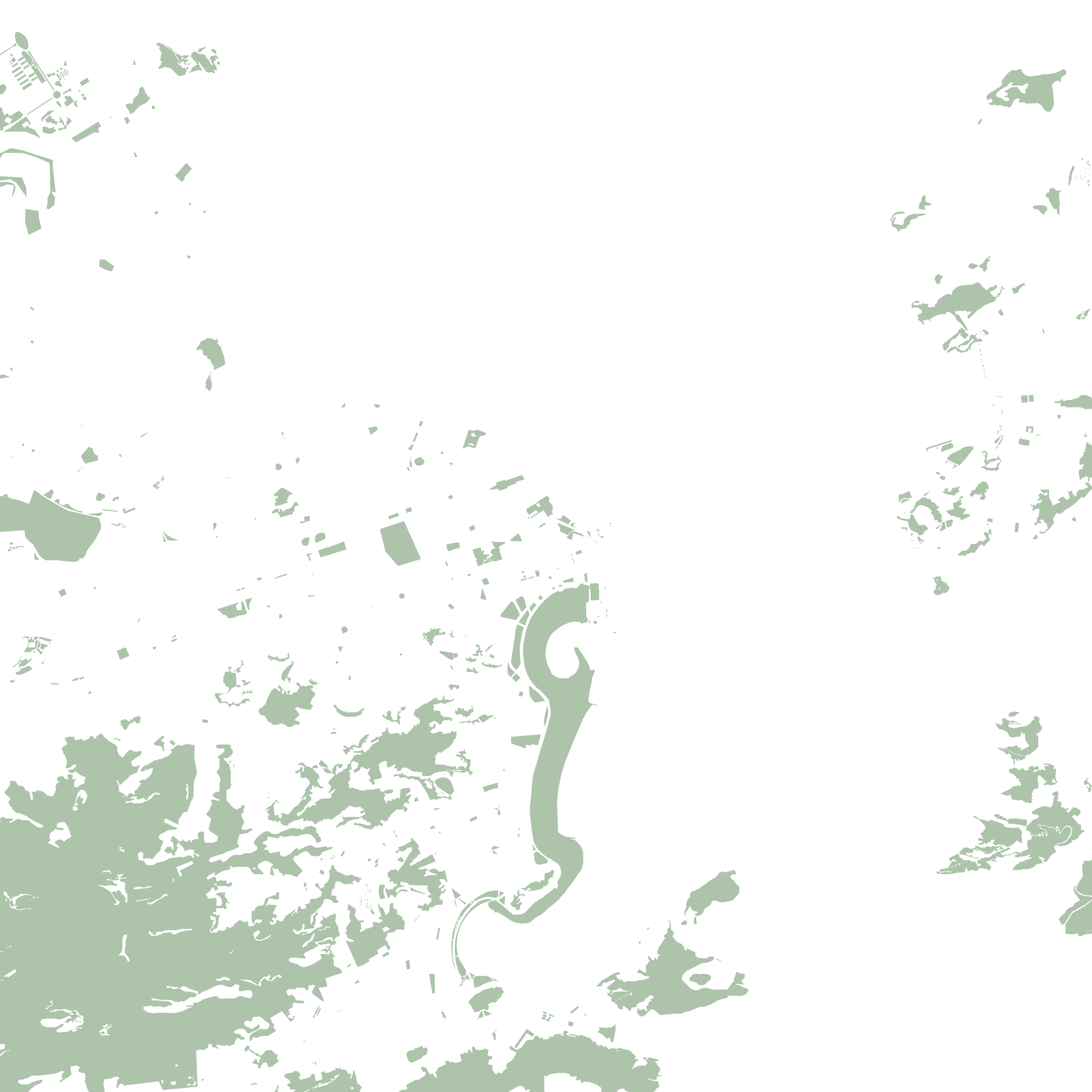
The flat land between hill and beach went to the formal city; the slopes went to the favelas, whose stair-lanes climb where surveyed streets could not. Above it all, the Tijuca Forest — replanted in the 19th century to save the water supply — keeps a rainforest in the middle of the map.
1565founded
710 mCorcovado above the streets