CITYGRID
city archive

Why it looks like this
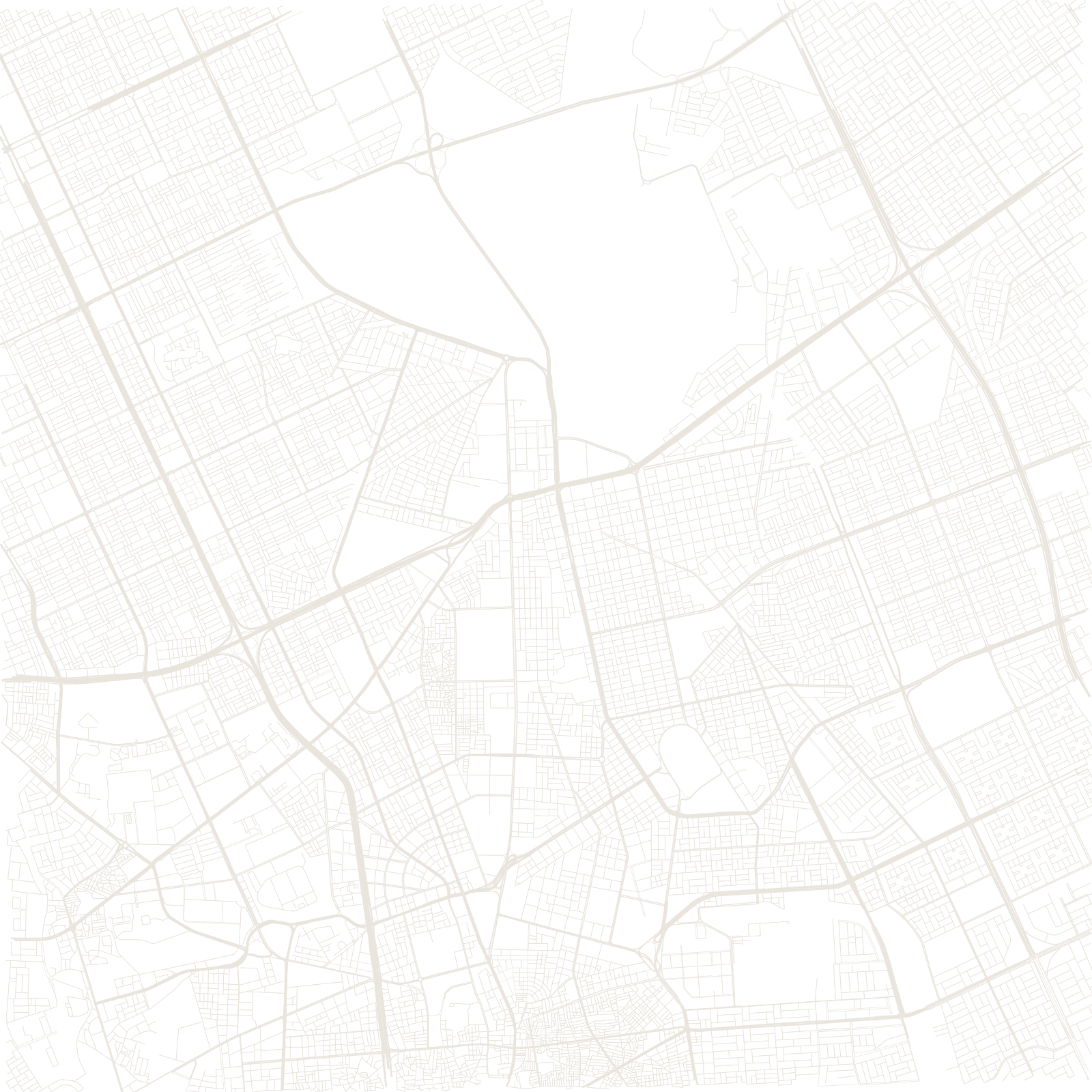
Within living memory Riyadh was a walled town of mud-brick around the Masmak fort — the fort Ibn Saud famously captured in 1902 to begin the Saudi state. Almost everything else on the map arrived after oil: the walls came down in the 1950s and the city began to sprawl.
In the 1970s Greek planner Constantinos Doxiadis gave that sprawl its instructions: a two-kilometre supergrid aligned with a central spine, designed to extend indefinitely into the desert. It did — Riyadh is now a metropolis of millions, its map a vast rectangular lattice with the tiny organic knot of the old town buried near the centre.
1902Masmak fort captured by Ibn Saud
1970sDoxiadis supergrid plan