CITYGRID
city archive

Why it looks like this
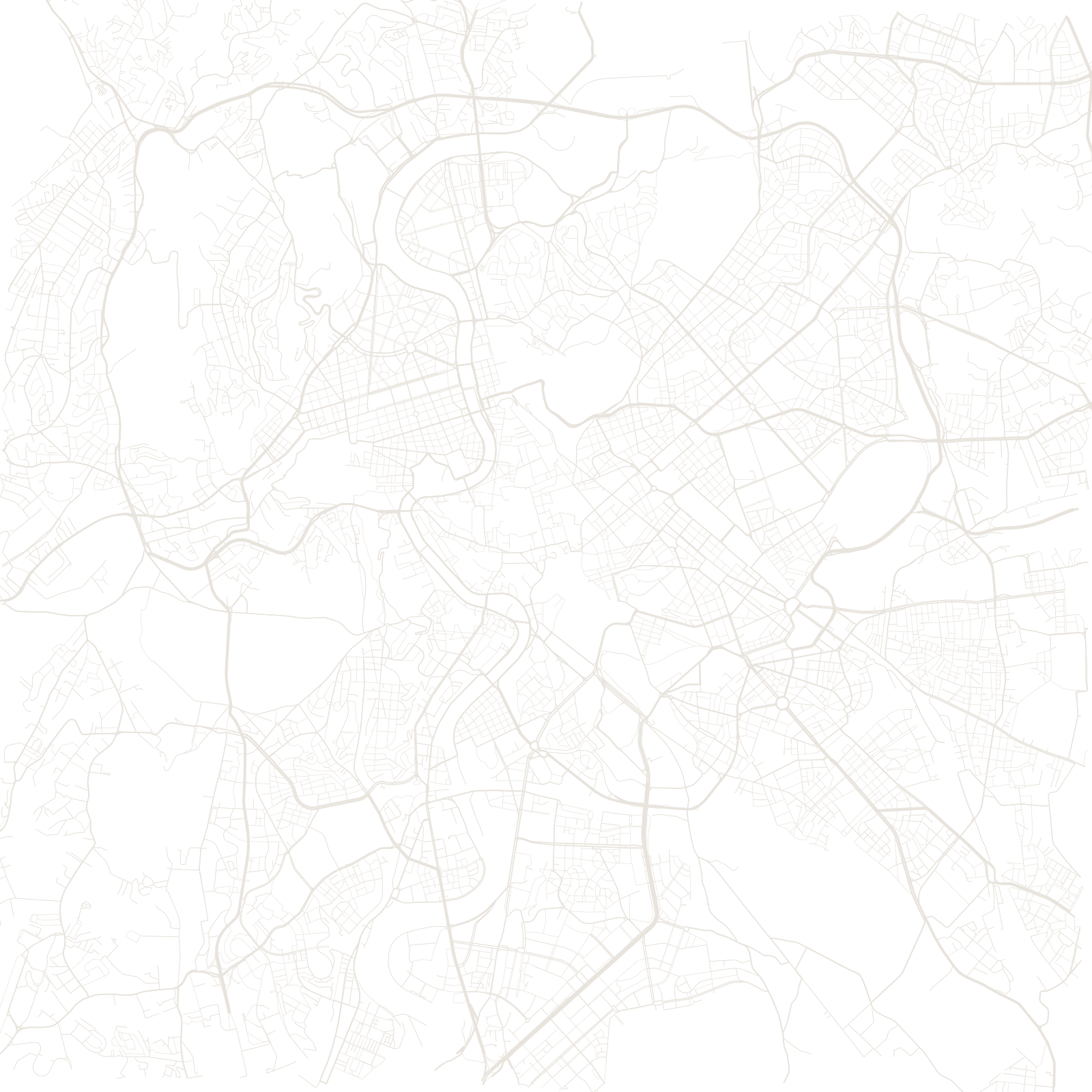
'All roads lead to Rome' is a description of this map: the ancient consular roads — Appia, Aurelia, Flaminia, Salaria and the rest — still run out of the city on their original bearings, many carrying their original names. The Aurelian Walls of the 270s AD still ring the historic core.
Inside, the layers stack: the medieval maze that grew in the ruins after the empire, Renaissance and Baroque avenues cut for pilgrims (Pope Sixtus V's straight streets linking the great basilicas), the 19th-century capital's grids, and Mussolini's demolition boulevards. The city has been editing the same street network for more than two thousand years.
312 BCVia Appia opened
270sAurelian Walls built