CITYGRID
city archive
Why it looks like this
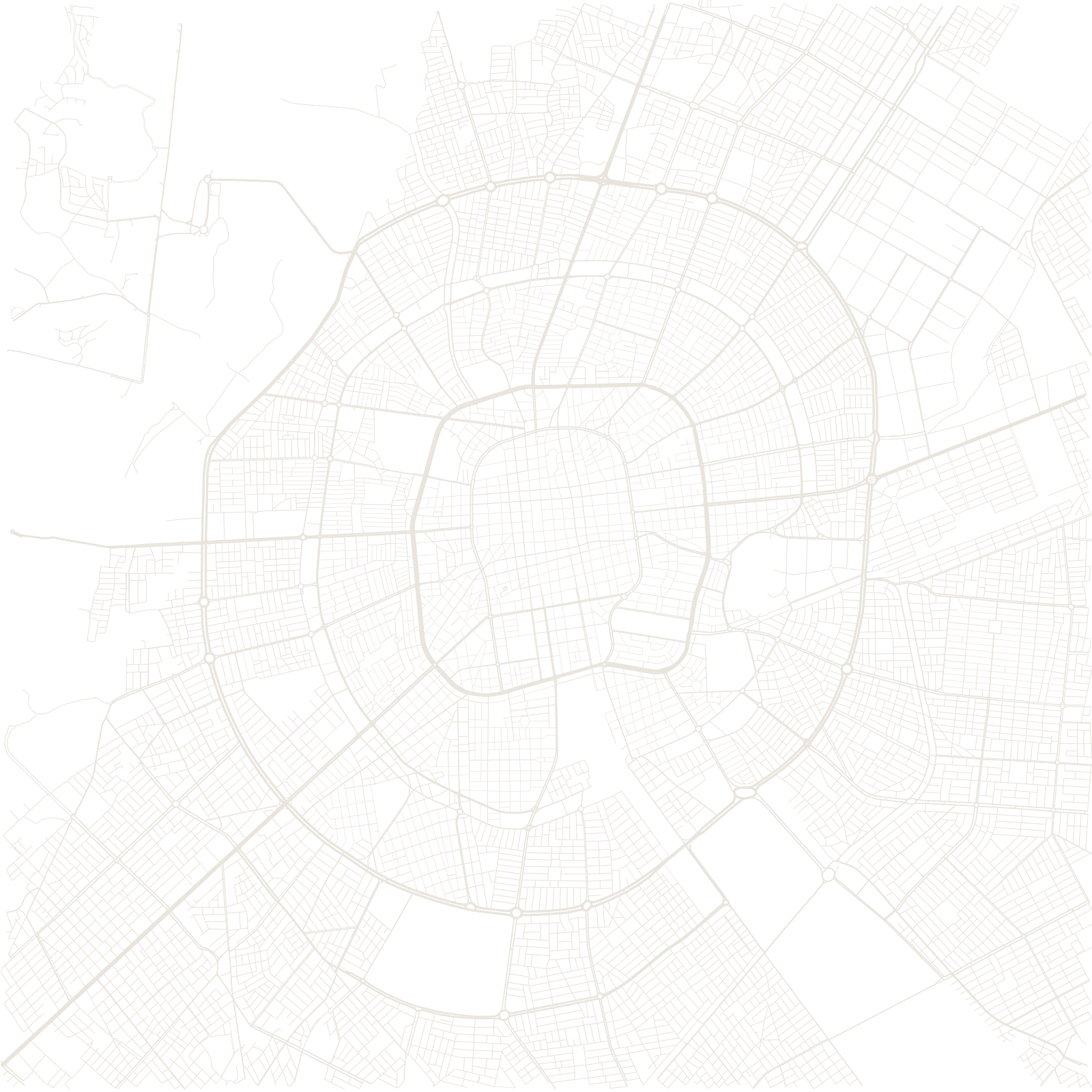
Until the mid-20th century Santa Cruz was a remote lowland town with a colonial grid and sand streets. Then roads, railways and agriculture connected it, and a 1960s master plan prepared for growth with concentric ring avenues crossed by radials — the anillos that now number beyond eight and give every address its ring.
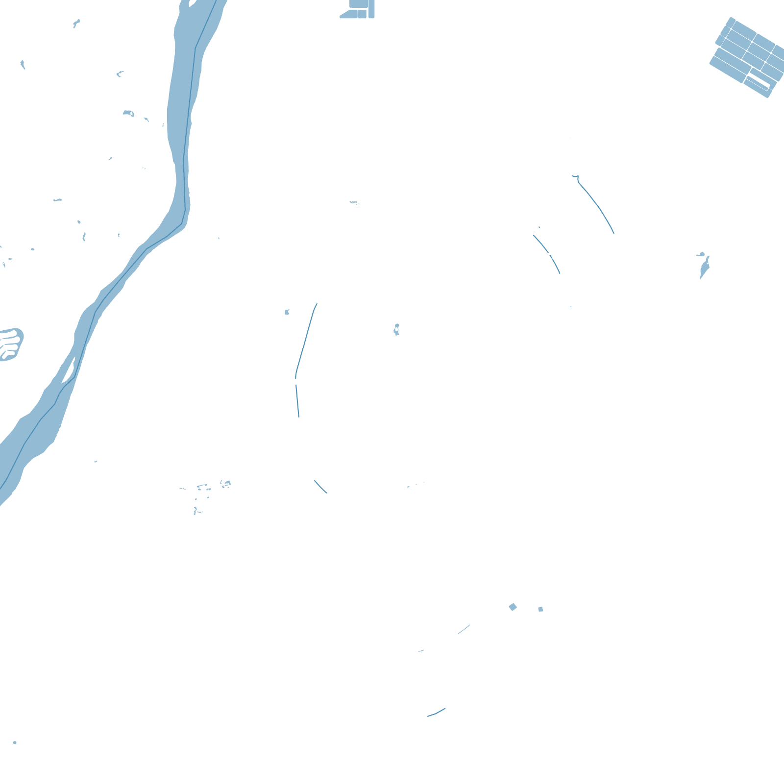
The plan worked almost too well: Santa Cruz became Bolivia's economic engine and its most populous city, growing ring by ring across the flat plain near the Piraí River — the highlands' opposite in geography and in geometry.
1960sring-road plan adopted