CITYGRID
city archive

Why it looks like this
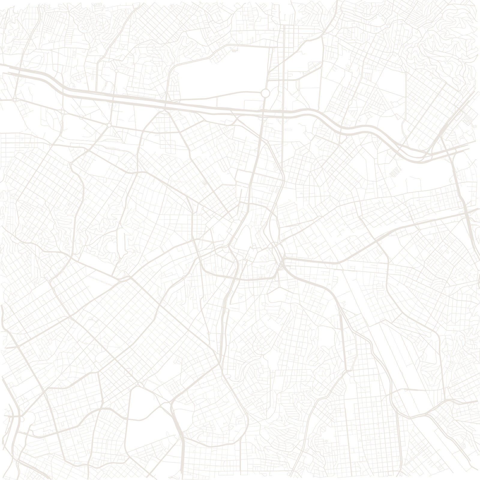
São Paulo never had a single master plan. As coffee money and industry exploded the city in the 20th century, land was subdivided piece by piece, each new district gridded at whatever angle its plot allowed — so the map is a quilt of little geometries stitched along old roads.
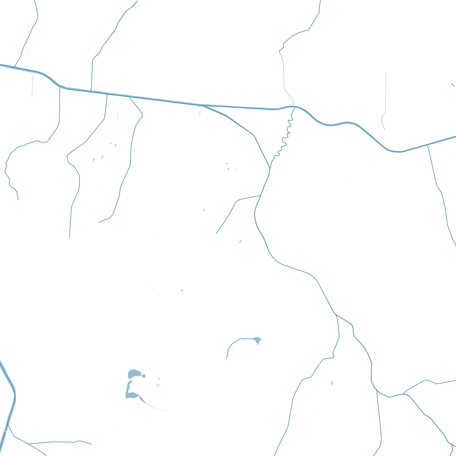
The terrain gives it structure anyway: the high ground carries the showpieces — Avenida Paulista, opened in 1891, runs along a ridge — while the floodplains of the Tietê and Pinheiros rivers became the marginal expressways. The result is the western hemisphere's largest city, drawn by thousands of hands.
1891Avenida Paulista opened
≈12 Mpeople in the city proper