CITYGRID
city archive
Why it looks like this
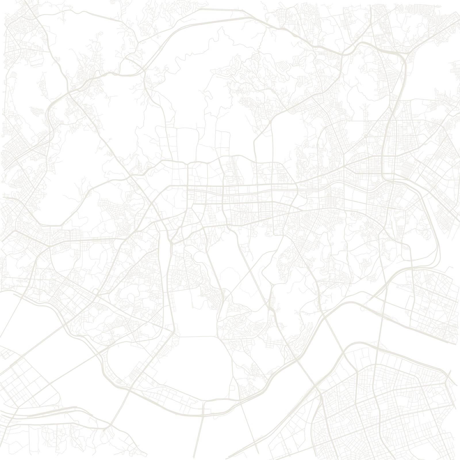
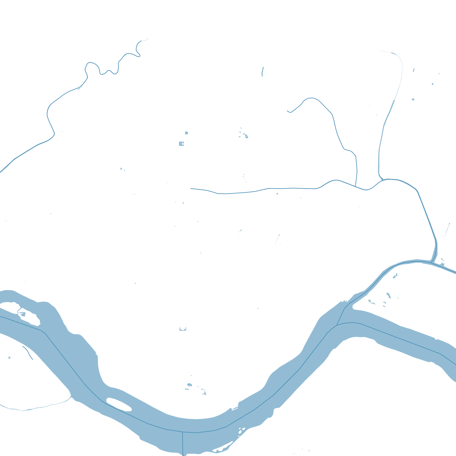
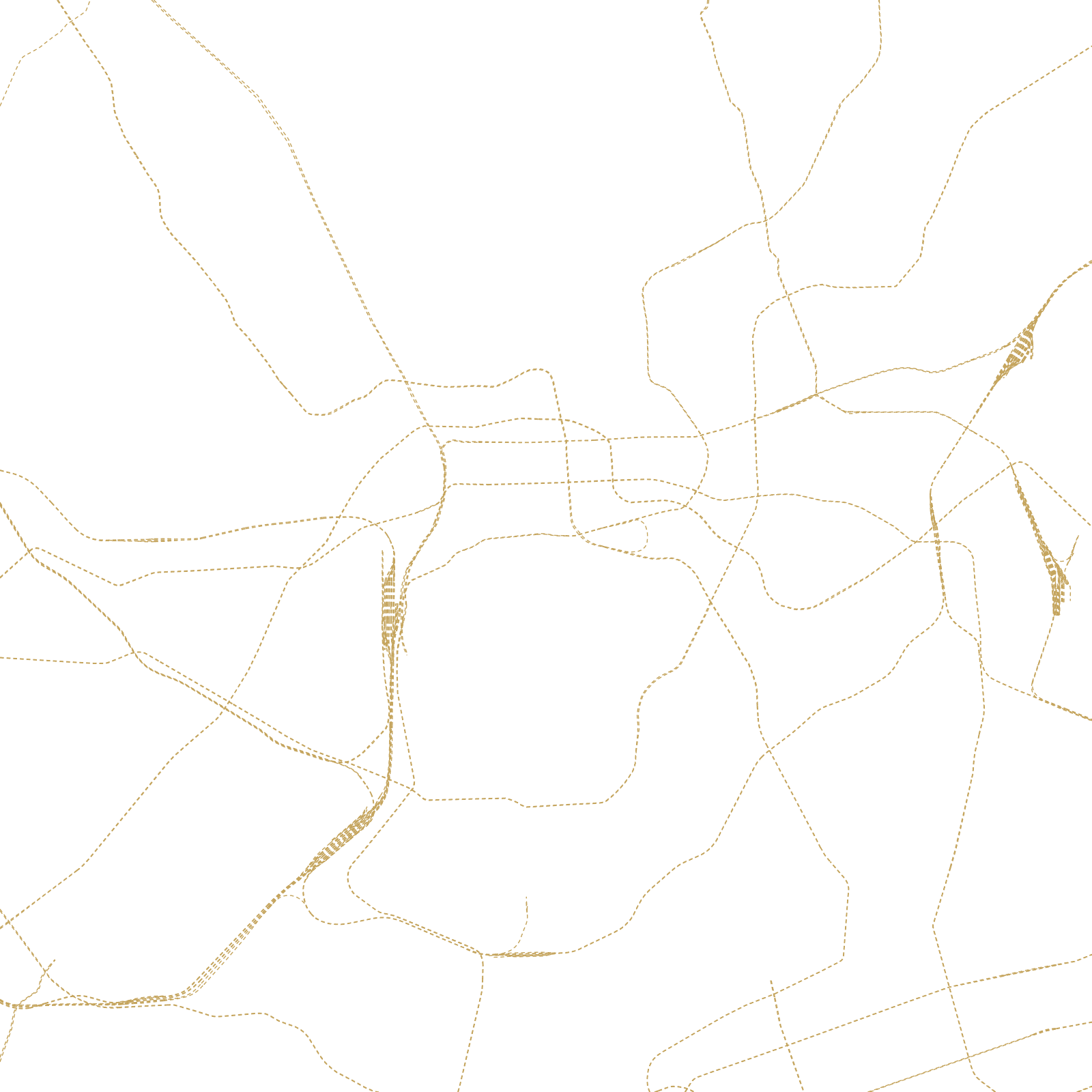
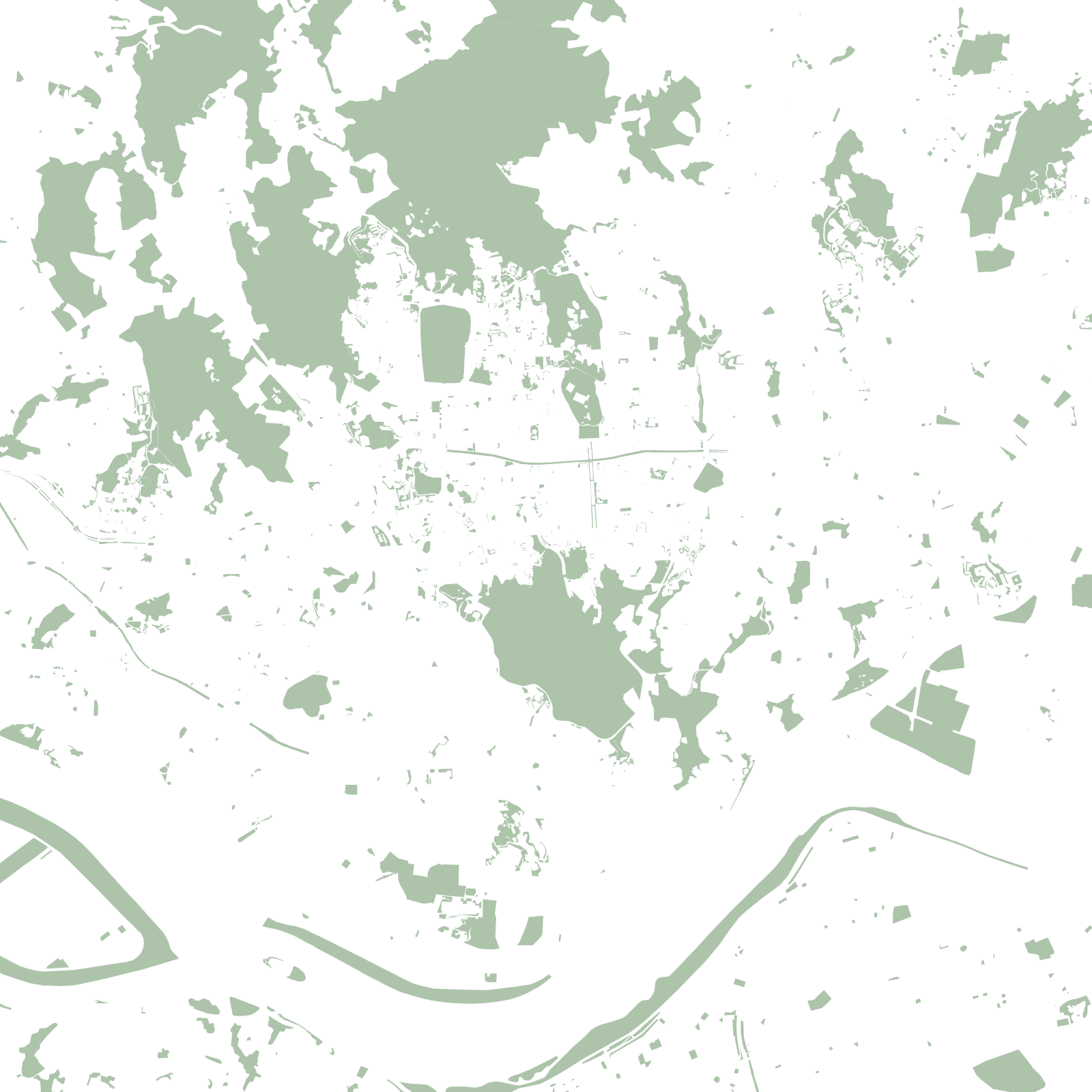
The Joseon dynasty placed its capital according to pungsu (feng shui): guardian mountains behind the palace, water in front, and an 18-kilometre wall along the ridgelines enclosing the old city north of the Han. That walled bowl — with the restored Cheonggyecheon stream running through it — is still the historic core.
The other half of the map is astonishingly new: Gangnam, 'south of the river', was farmland until deliberate development in the 1970s filled it with broad grids, apartment complexes and, eventually, the country's most expensive addresses. Seoul is a 600-year-old capital wearing a 50-year-old twin.
1394Joseon capital founded
≈18 kmold fortress wall on the ridges