CITYGRID
city archive
Why it looks like this
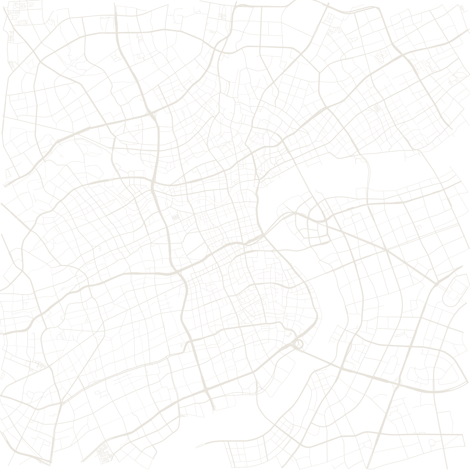
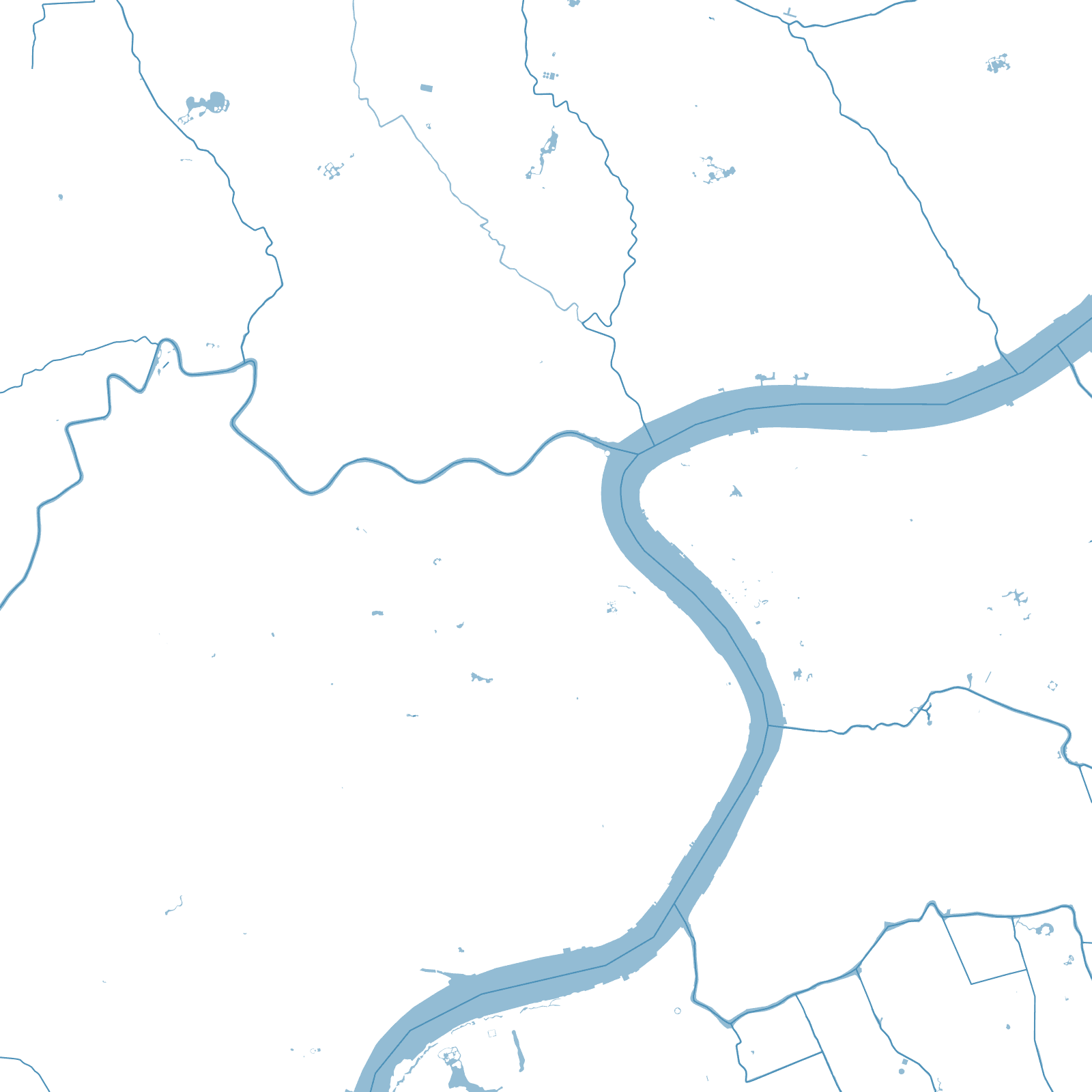
The Huangpu River cuts this map into two different centuries. West of it, Puxi grew piece by piece after the port opened to foreign trade in the 1840s — an old walled Chinese city surrounded by British, French and international districts, each with streets at its own angle.
East of the river, Pudong was farmland within living memory. In 1990 it was declared a development zone and drawn all at once: wide roads, huge blocks, and towers where fields used to be.
1843treaty port opened
1990Pudong development began
≈26 Mpopulation