CITYGRID
city archive

Why it looks like this
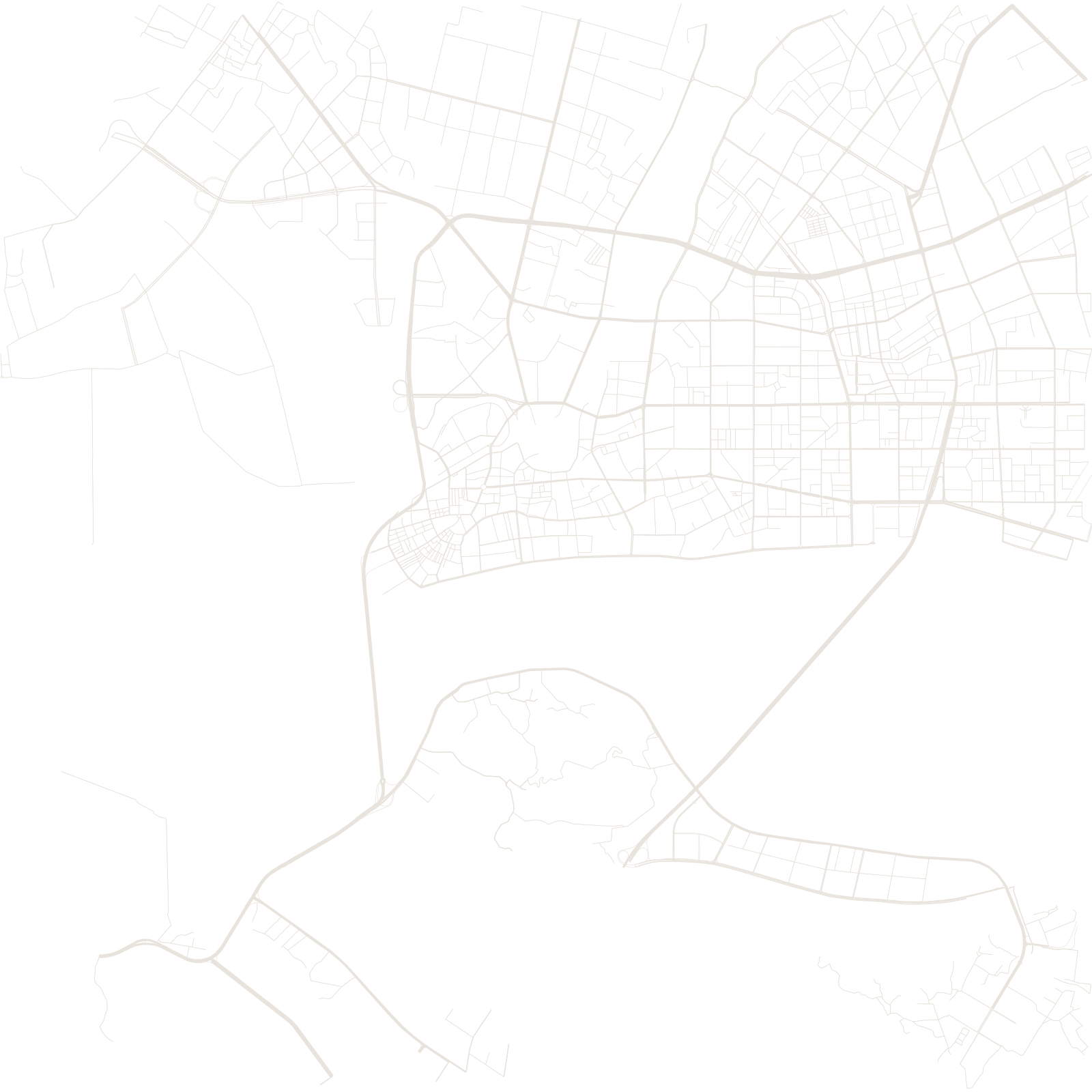
Shantou (Swatow) was one of the treaty ports opened after 1860, and its boom years left a distinctive downtown: streets radiating from the Xiaogongyuan — 'Small Park' — rotunda, lined with qilou arcades built with overseas-Chinese money in the early 20th century. Emigration through this port scattered Teochew communities across Southeast Asia.
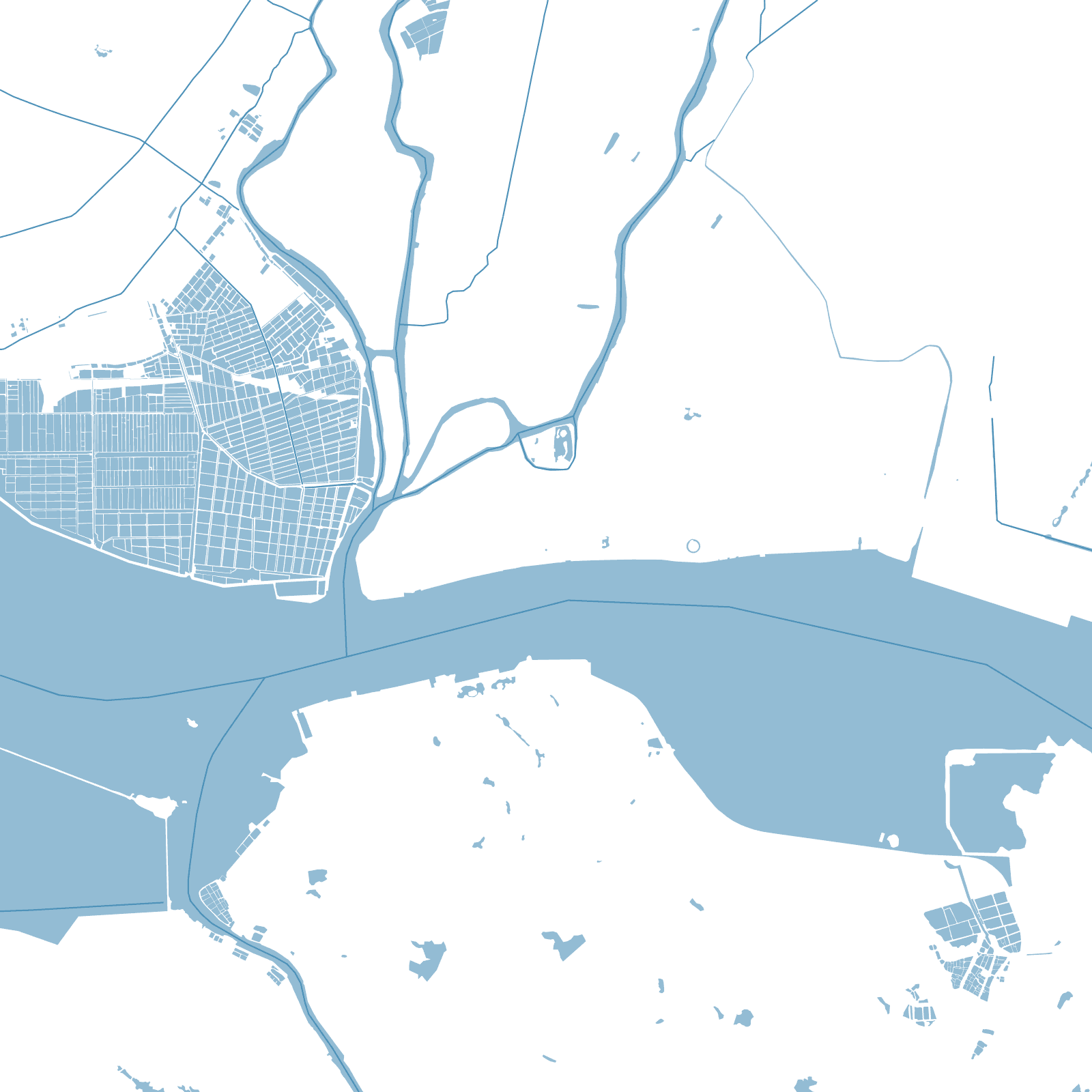
In 1980 Beijing chose Shantou as one of the first four special economic zones, betting on those overseas connections. The modern city spread along its harbour and across the Rong River mouth, wrapping the fan-shaped old core in new grids.
1860treaty port opened
1980one of the first four SEZs