CITYGRID
city archive

Why it looks like this
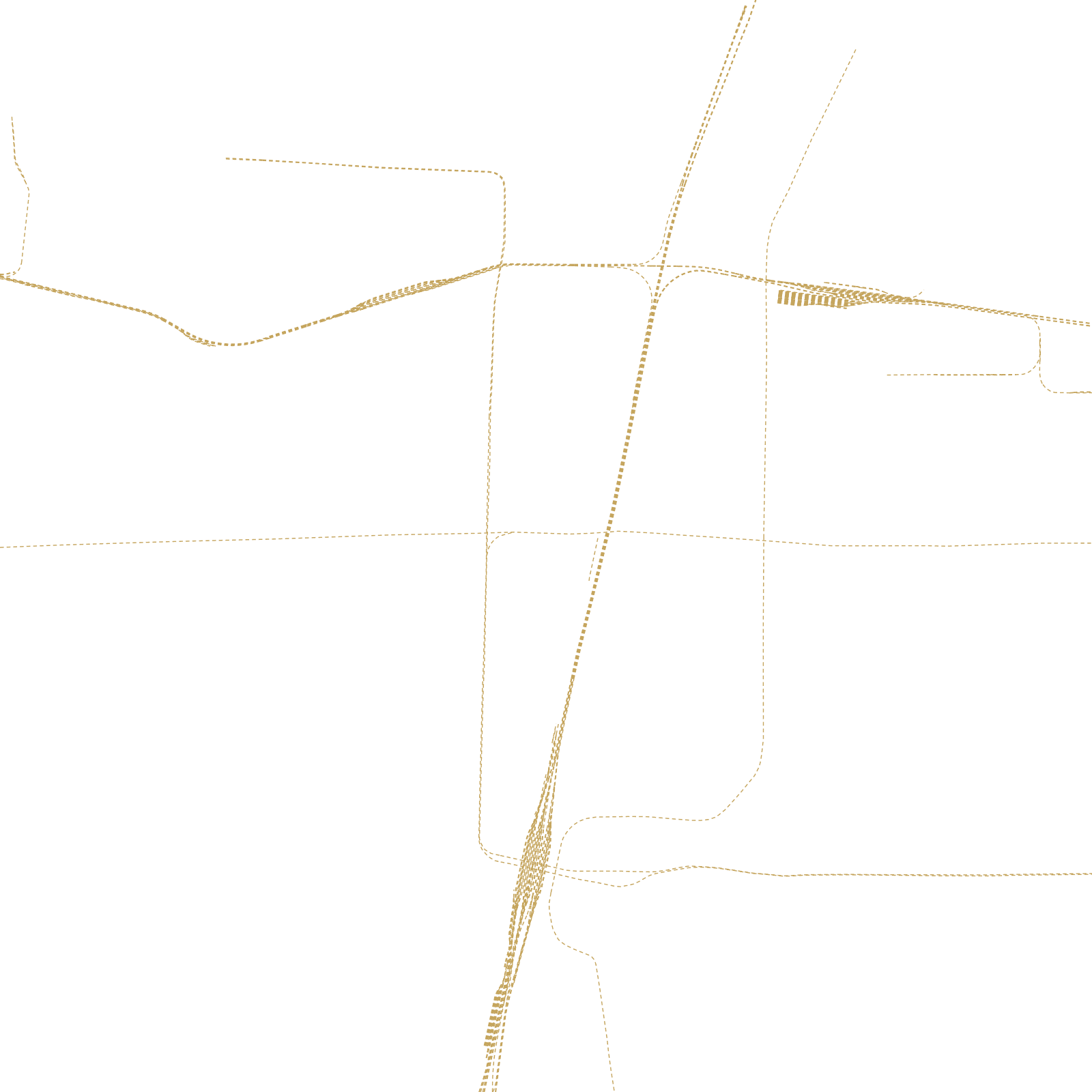
The name gives it away: 'Shijiazhuang' means roughly 'the Shi family village'. It was exactly that until the Beijing–Hankou railway arrived and, in 1907, the Zhengtai line to Taiyuan joined it — suddenly the village was the junction of north China.
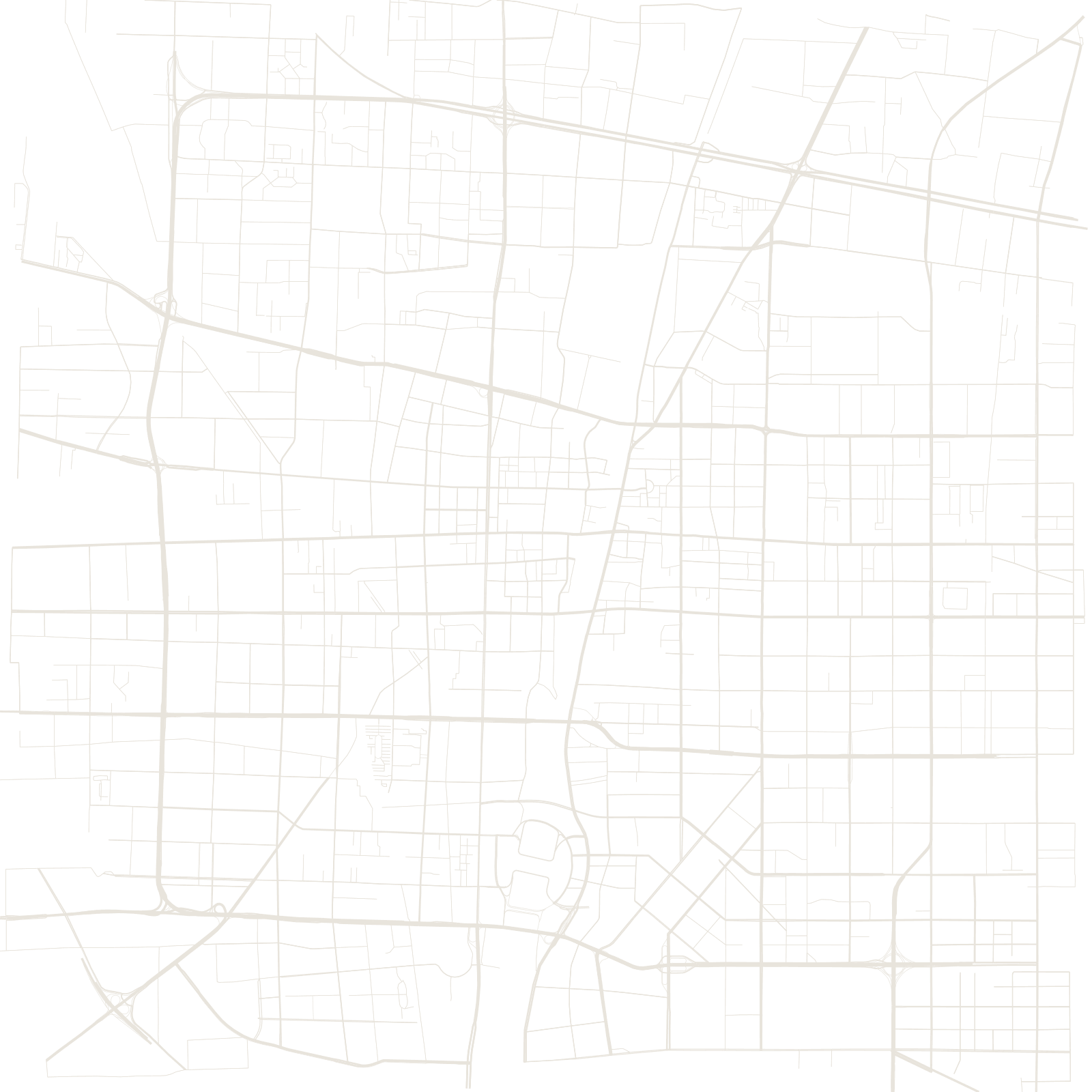
Warehouses, mills and workers' streets grew beside the tracks, and in 1968 the junction town was made capital of Hebei province. The map shows a city with no ancient core at all: grids of the industrial 20th century, oriented by railways rather than by any palace or wall.
1907two railways crossed here
1968became Hebei's capital