CITYGRID
city archive
Why it looks like this
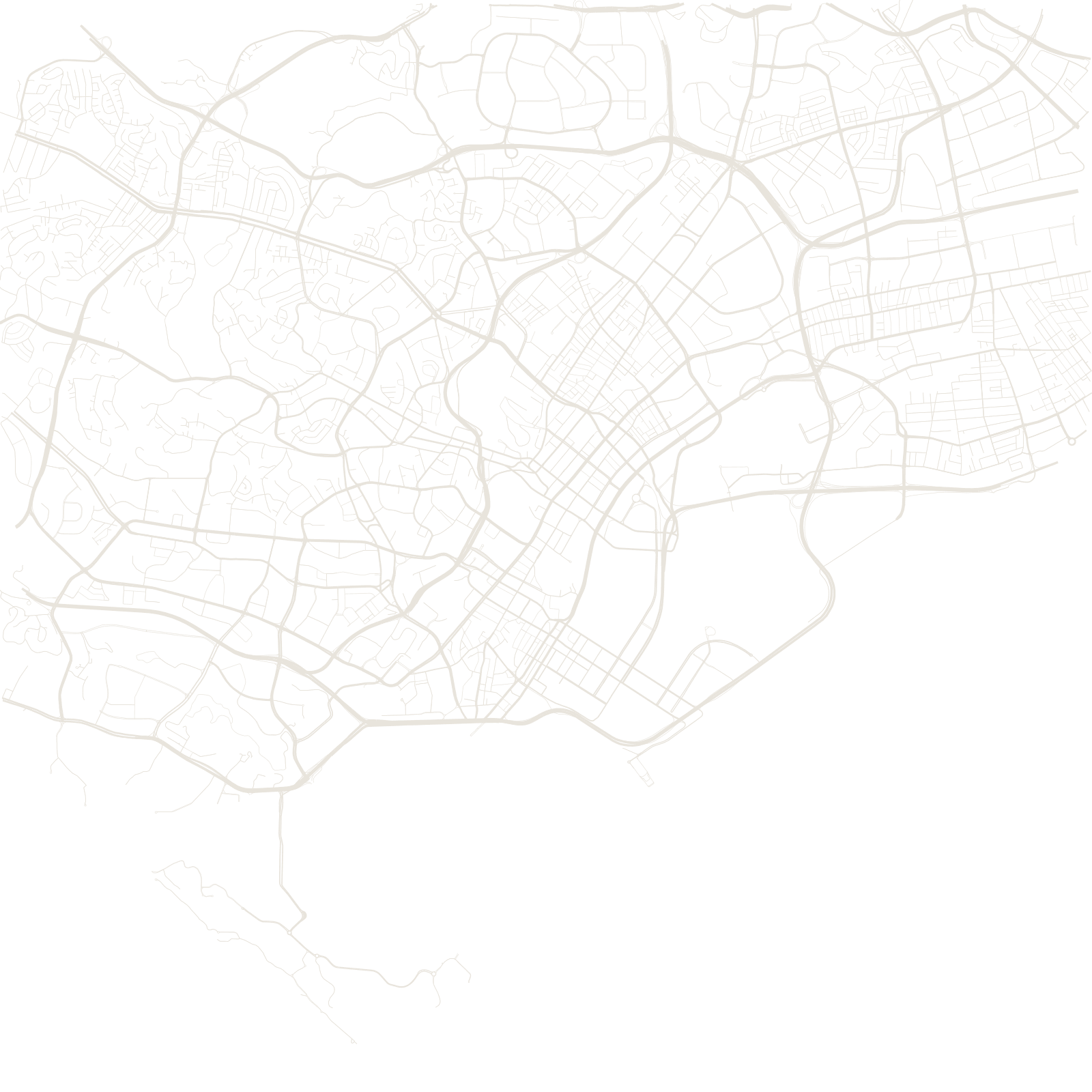
Under one of the most rebuilt cities on Earth sits an 1822 drawing: the Jackson Plan, made under Stamford Raffles to organise the young port into districts — a commercial square on the south bank of the river, and separate quarters for different communities, each laid out as its own small grid.
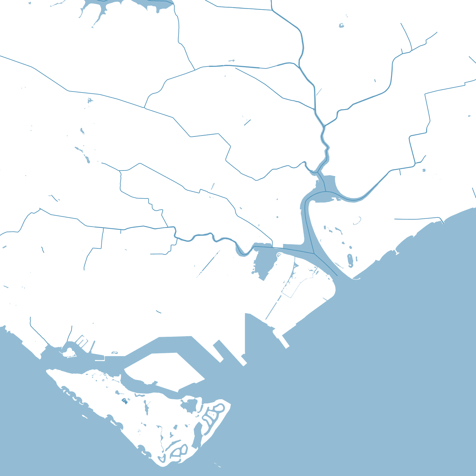
Those grids met the old shoreline at different angles, and the joins survive: Chinatown, Kampong Glam and the civic district still sit at slightly different angles on the modern map — even though land reclamation has pushed the sea far from the shore the plan once followed.
1822Jackson Plan
≈25%land area reclaimed
≈5.9 Mpopulation