CITYGRID
city archive

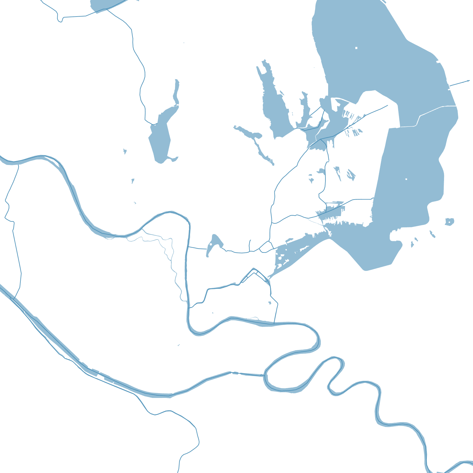


Why it looks like this
Srinagar fills the floor of the Kashmir valley at about 1,600 metres, and water organizes everything: the Jhelum winds through the old city, whose quarters grew around its seven historic bridges (still counted by number — 'Zero Bridge' jokes included), while Dal Lake spreads to the northeast with floating gardens, market boats and moored houseboats.
On the lake's shore the Mughal emperors laid the terraced gardens — Shalimar, Nishat — that made the valley their summer paradise. The map is a city braided with water: streets, canals and lake channels doing the same work.
7historic Jhelum bridges
≈1,600 mvalley altitude