CITYGRID
city archive
Why it looks like this
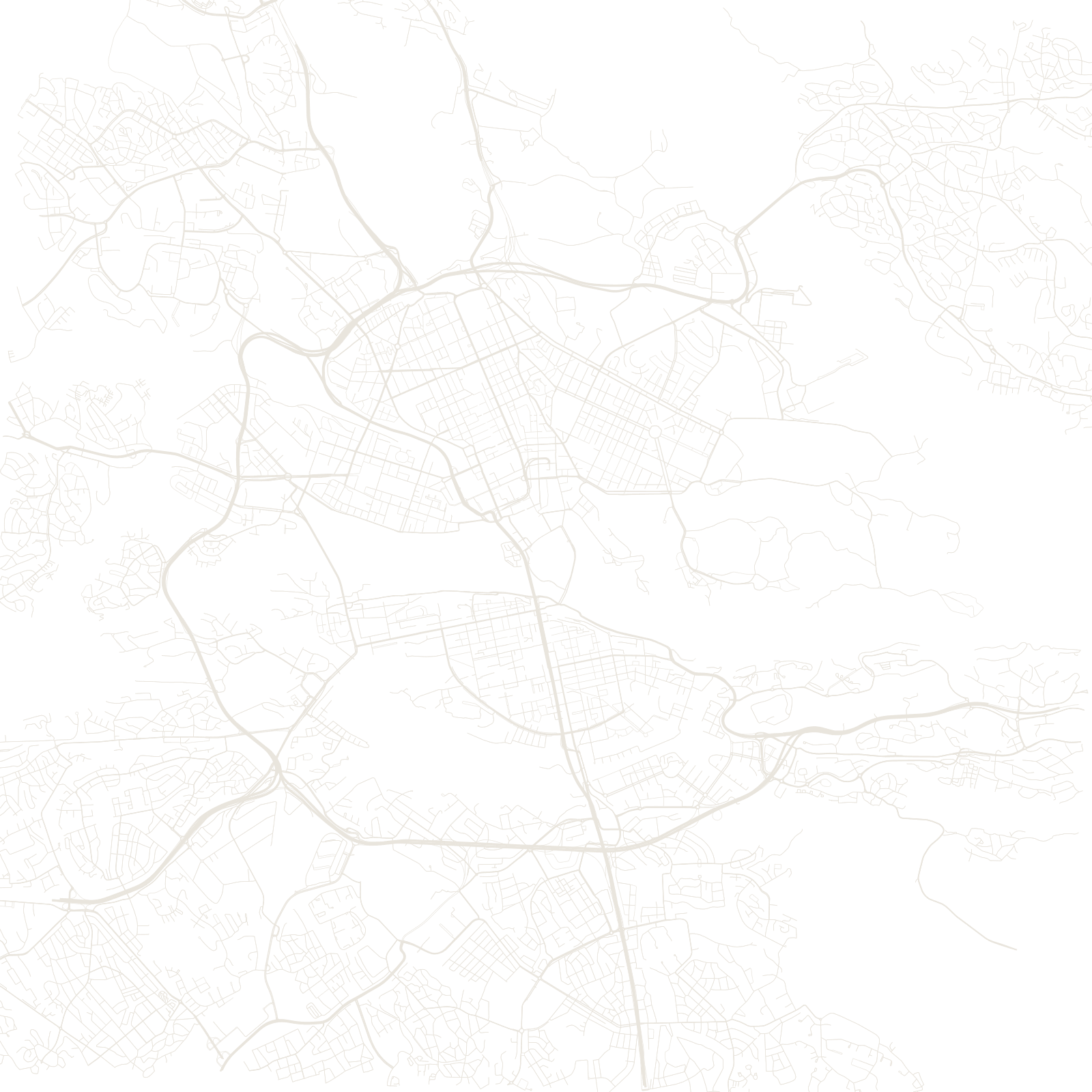
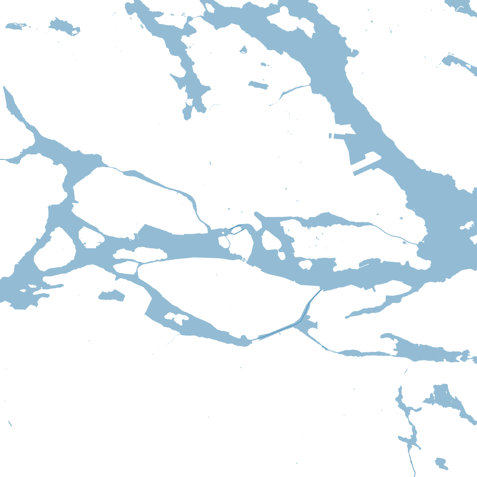
The city began in the 1200s as a fortified island plugging the outlet of Lake Mälaren: whoever held that island controlled trade between the lake's heartland and the sea. Gamla Stan still keeps its medieval web of lanes — some barely a metre wide — around the royal palace.
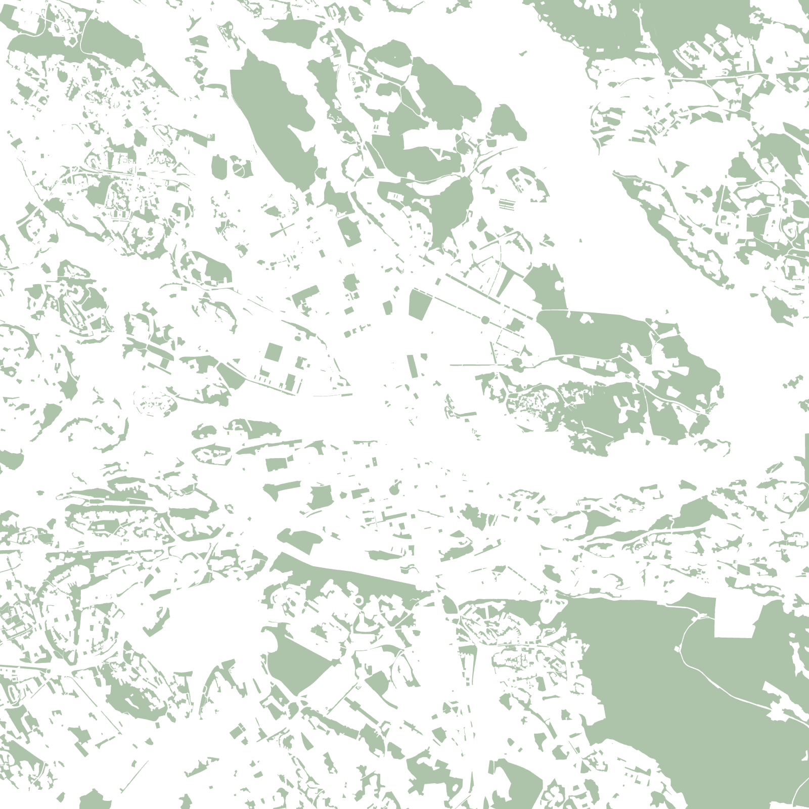
The city then spread island by island: cliff-top Södermalm, orderly Norrmalm and Östermalm gridded in the 19th century, leafy Djurgården kept as royal parkland. A third of the map is water, and bridges and ferries are as basic to the network as streets.
14islands of the inner city
1252first written mention