CITYGRID
city archive
Why it looks like this
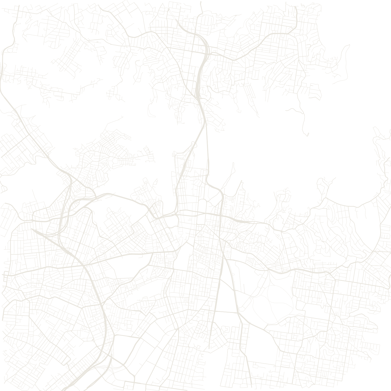
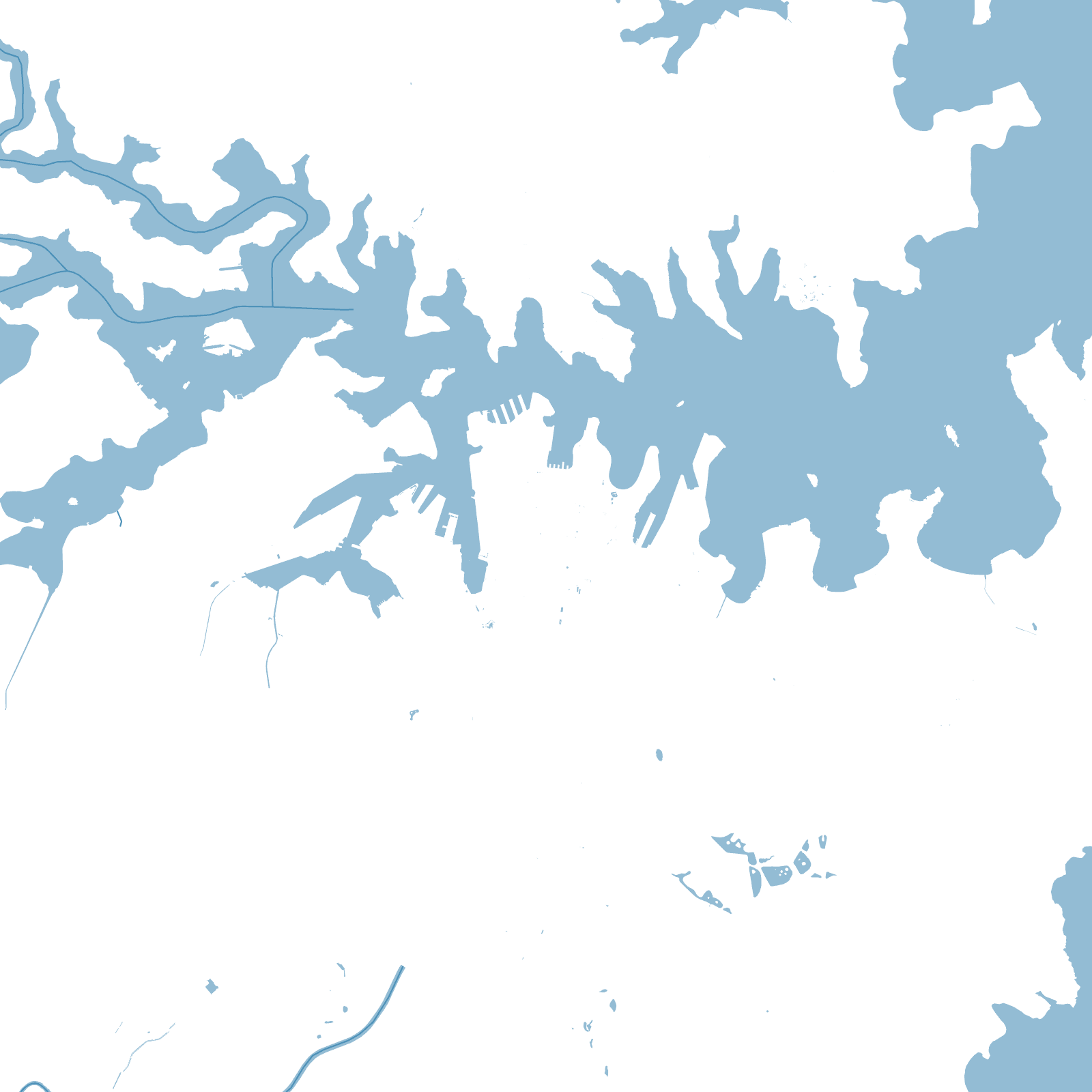
Sydney Harbour is a ria: a river valley flooded by the sea, with dozens of coves and headlands. The streets answer it — the oldest ones near Circular Quay follow the tracks and terrain of the 1788 convict settlement rather than any grid, and every peninsula developed its own pocket of streets ending at water.
For 144 years the two shores were connected only by ferry; the Harbour Bridge of 1932 finally stitched north to south, and the city spread over the Cumberland Plain in a vast carpet of suburbs, its centre forever split and knotted by the harbour's arms.
1788British colony founded
1932Harbour Bridge opened