CITYGRID
city archive
Why it looks like this
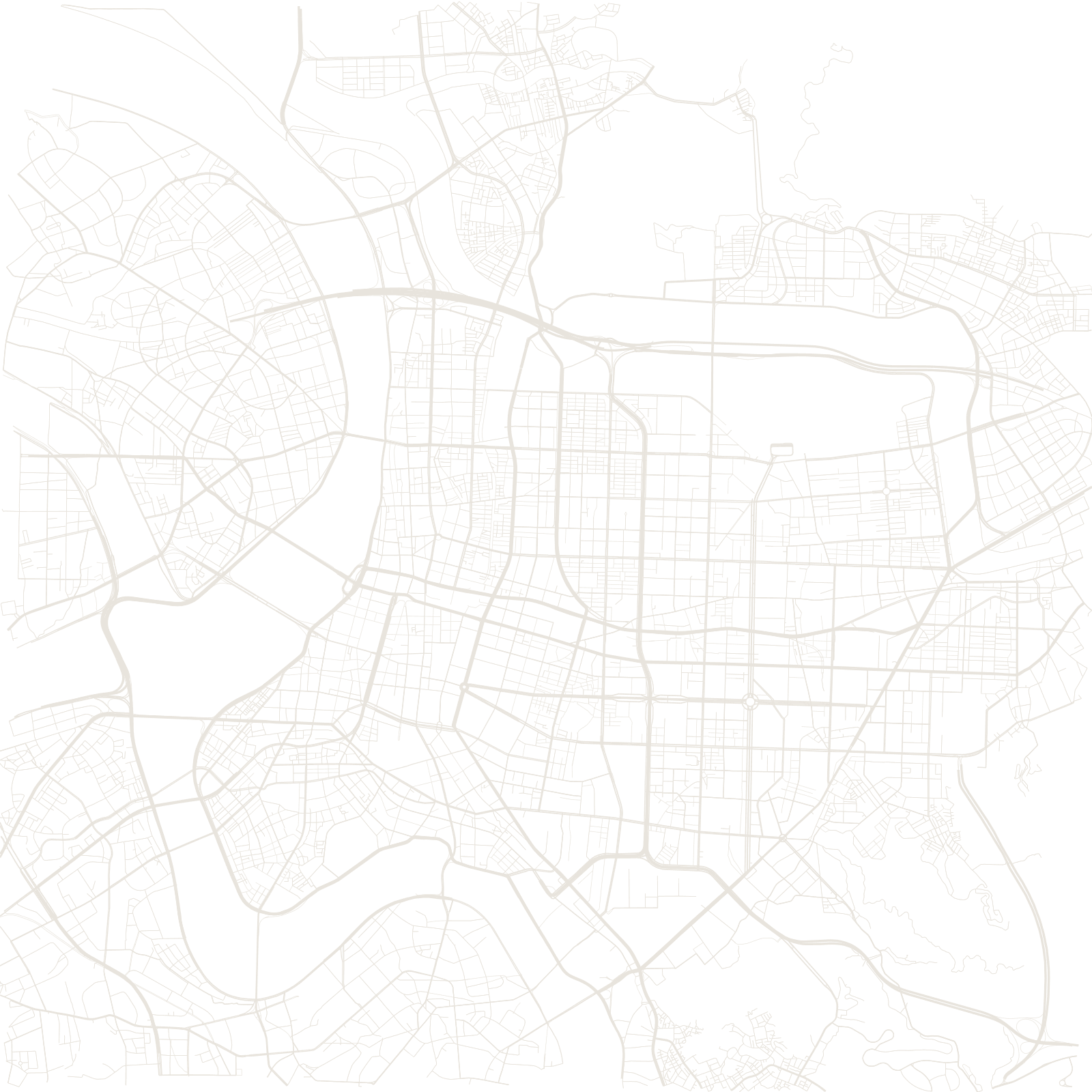
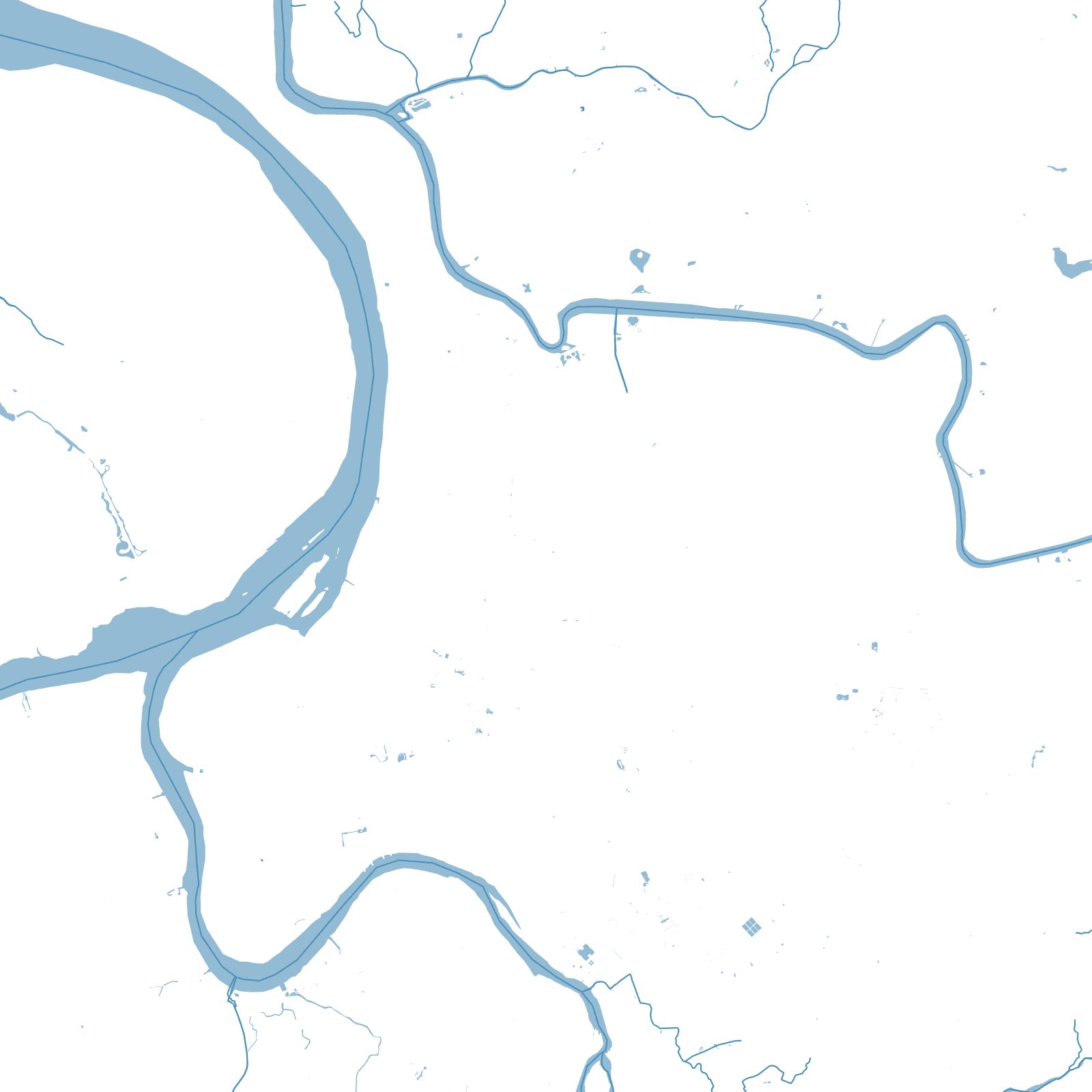
Taipei was a latecomer: the Qing built its walled administrative city only in 1884, between the older market towns of Wanhua and Dadaocheng. When Japan took Taiwan in 1895, the new rulers demolished the young walls and laid tree-lined boulevards along their footprint — the rectangle of Zhongxiao, Zhongshan, Aiguo and Zhonghua roads still outlines the vanished wall, with the gates left standing as traffic islands.
The city then filled its river basin with a broad grid, and jumped east: the Xinyi district around Taipei 101 was planned in the 1980s–90s as the modern centre, leaving the map with a wall-shaped ghost at one end and a planned skyline at the other.
1884city wall completed
≈20 yrsbefore it was demolished