CITYGRID
city archive

Why it looks like this
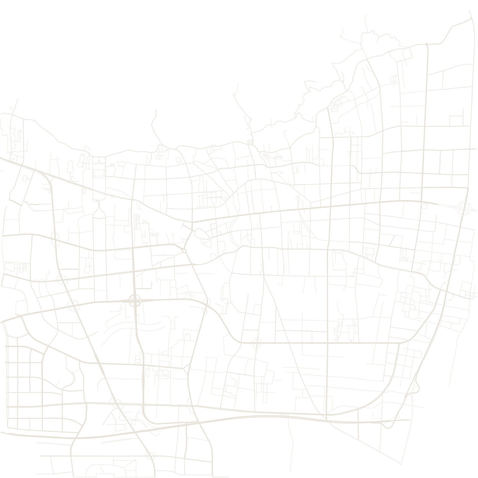
For millennia, emperors came to Tai'an to climb Mount Tai and perform the rites of heaven and earth; the city below grew as the mountain's service town. The plan is a pilgrimage diagram: the Dai Temple — the great walled temple where emperors prepared — anchors the centre, and the route runs north from its gates to the First Gate of Heaven, where thousands of stone steps begin.
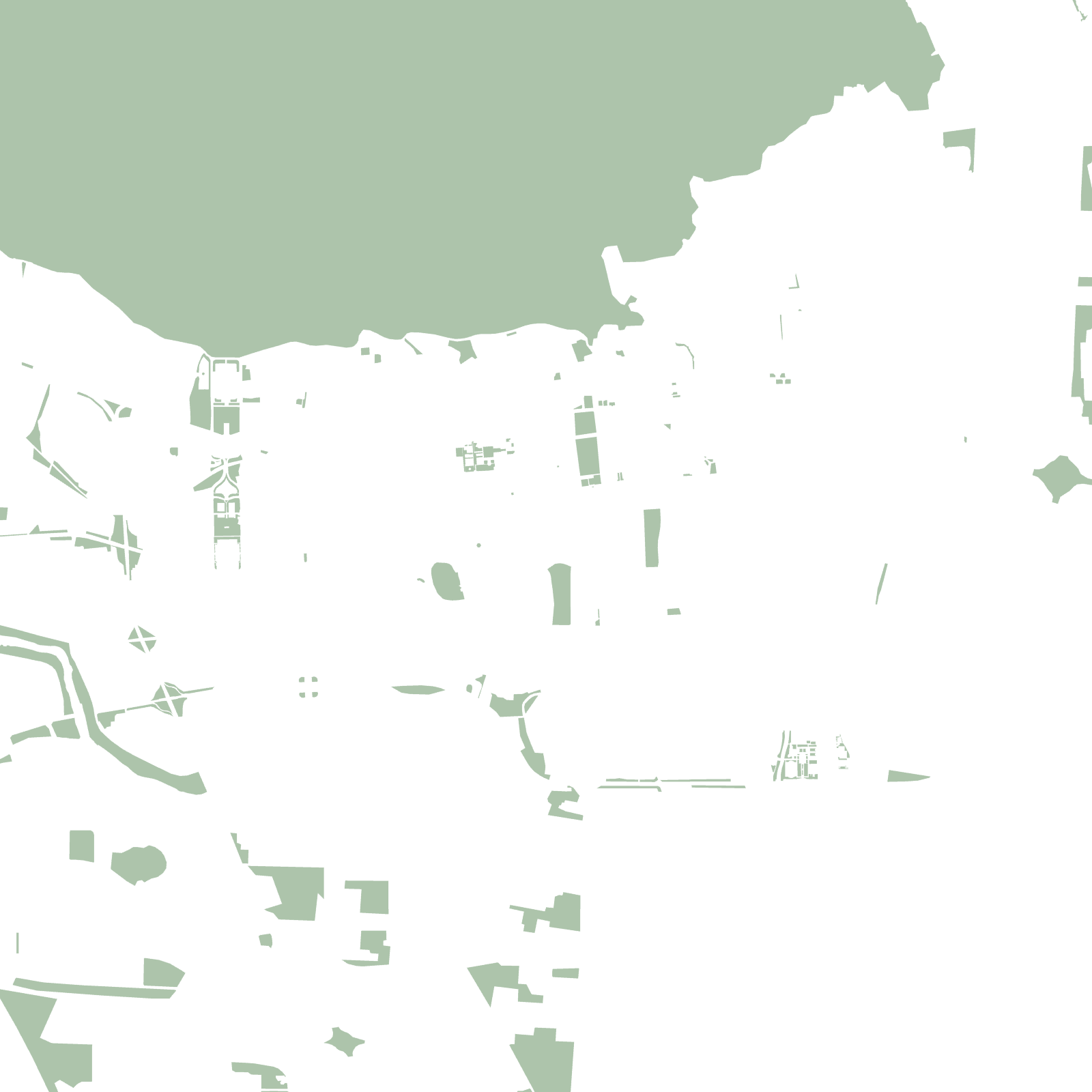
The mountain, UNESCO-listed and climbing to 1,545 metres directly above the streets, walls off the city's north side — so Tai'an spreads east, west and south, always with the sacred peak filling the top of its map.
1,545 mMount Tai above the city
≈6,600steps of the pilgrim stairway