CITYGRID
city archive
Why it looks like this
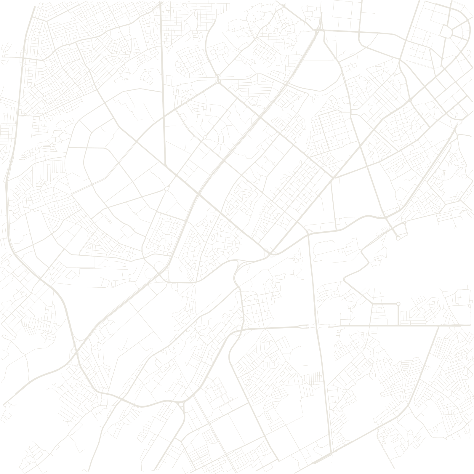
Tashkent was a Silk Road oasis city of clay-walled lanes when Russia conquered it in 1865 and added a colonial grid beside the old town. Then, in April 1966, an earthquake destroyed much of the city, and the Soviet Union rebuilt its fourth-largest metropolis as a model: monumental avenues, parks, fountains, and Central Asia's first metro (1977), its stations decorated like palaces.
The rebuild spared part of the historic quarter around the Chorsu bazaar and Khast Imam complex — so the map keeps three Tashkents: a fragment of oasis maze, tsarist grid, and Soviet plan.
1966earthquake
1977Central Asia's first metro