CITYGRID
city archive
Why it looks like this
Tehran climbs the foot of the Alborz range, and altitude is destiny: the north, up toward 1,700 metres and the ski slopes, is cooler, greener and wealthier; the south, down near 1,100 metres by the desert edge, is hotter and poorer. Water once ran the same direction, through qanats — underground channels bringing mountain water down through the city.
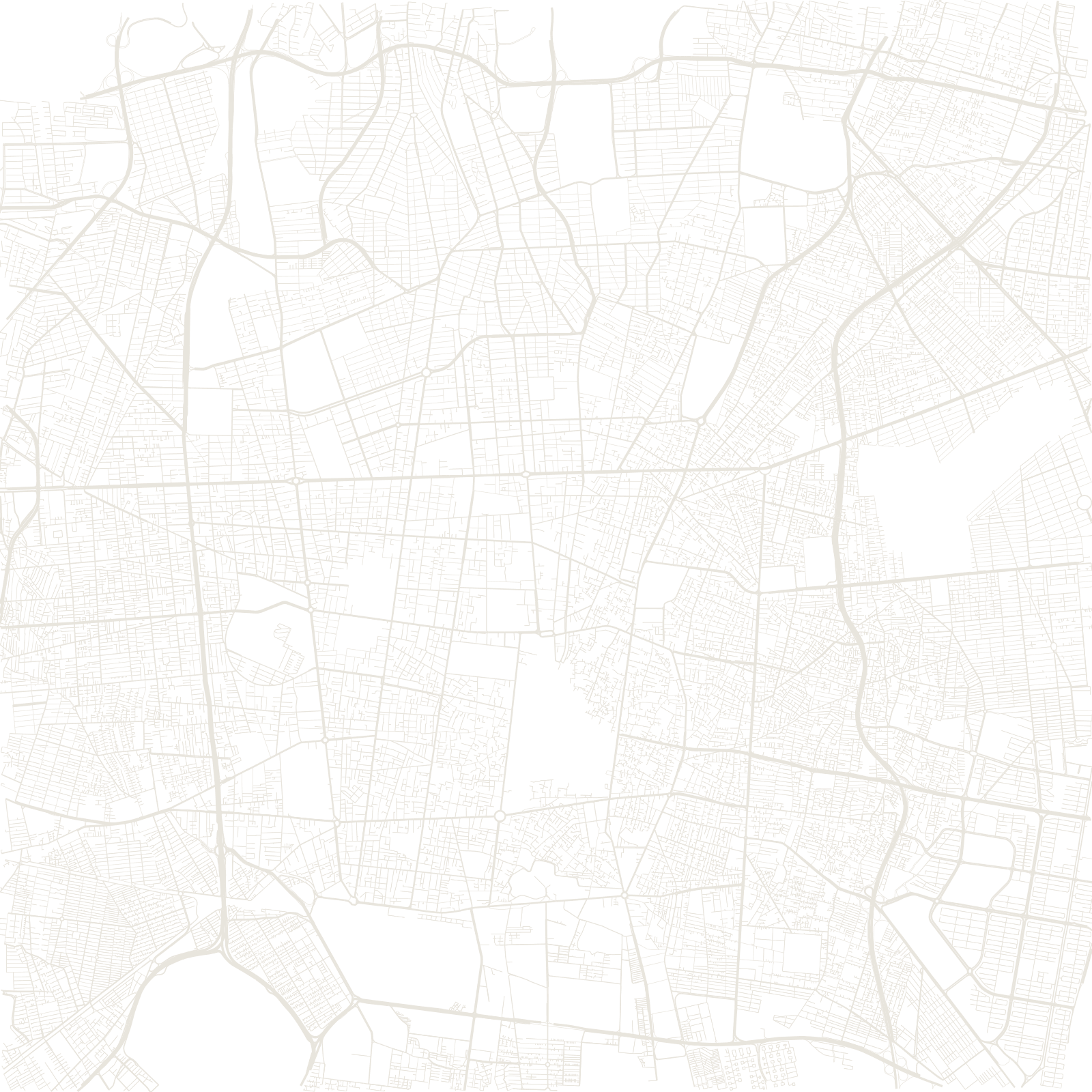
Valiasr Street ties the gradient together: about eighteen kilometres of plane-tree-shaded avenue from the rail-station south to the hillside north, often called the Middle East's longest street. Around it, a metropolis of many millions grids the slope, with the snow wall of the Alborz closing every north-facing view.
≈18 kmValiasr Street
≈600 mheight difference north to south