CITYGRID
city archive
Why it looks like this
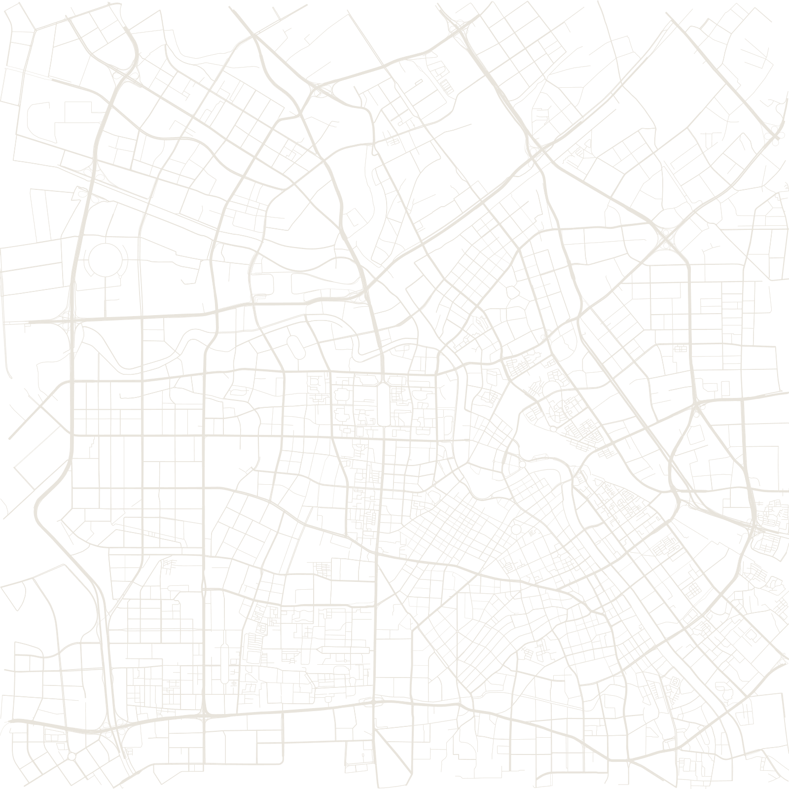
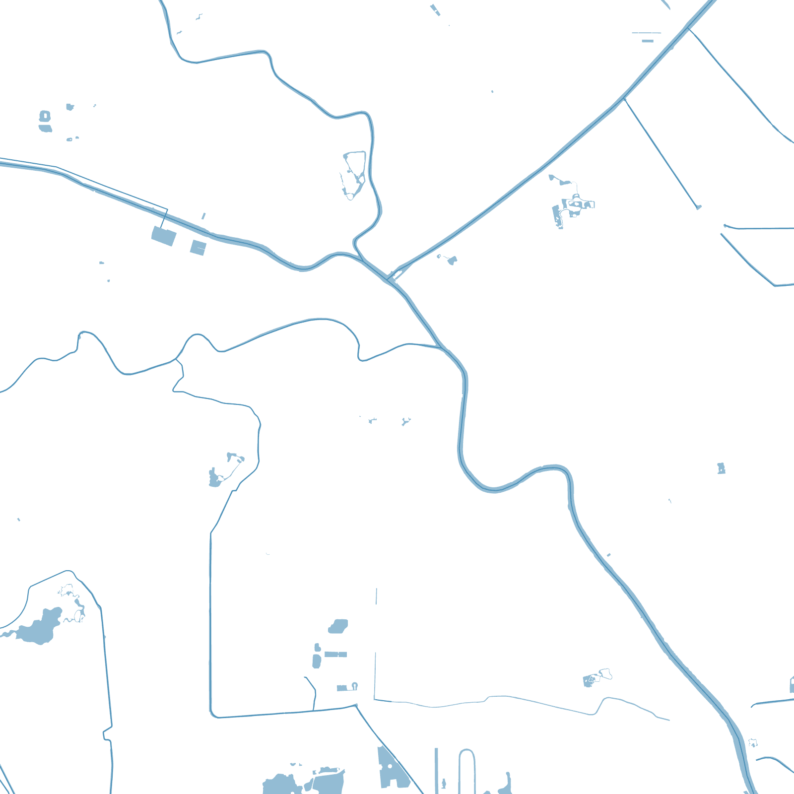
After the treaties of 1860, Tianjin — Beijing's port — was carved into foreign concessions: British, French, American, German, Japanese, Russian, Italian, Austro-Hungarian and Belgian. Nine powers, nine planning traditions, laid out side by side along the Hai River, each district with its own street grid, angles and building styles.
The Chinese walled city sat northwest of them all; its walls came down in 1901, leaving a rectangle of roads. Today's map is the archive of all of it: turn a corner and the street pattern changes nationality — Italianate piazzas, French boulevards, British business blocks — before the socialist and modern city wraps around them.
9foreign concessions
1860treaty port opened