CITYGRID
city archive
Why it looks like this
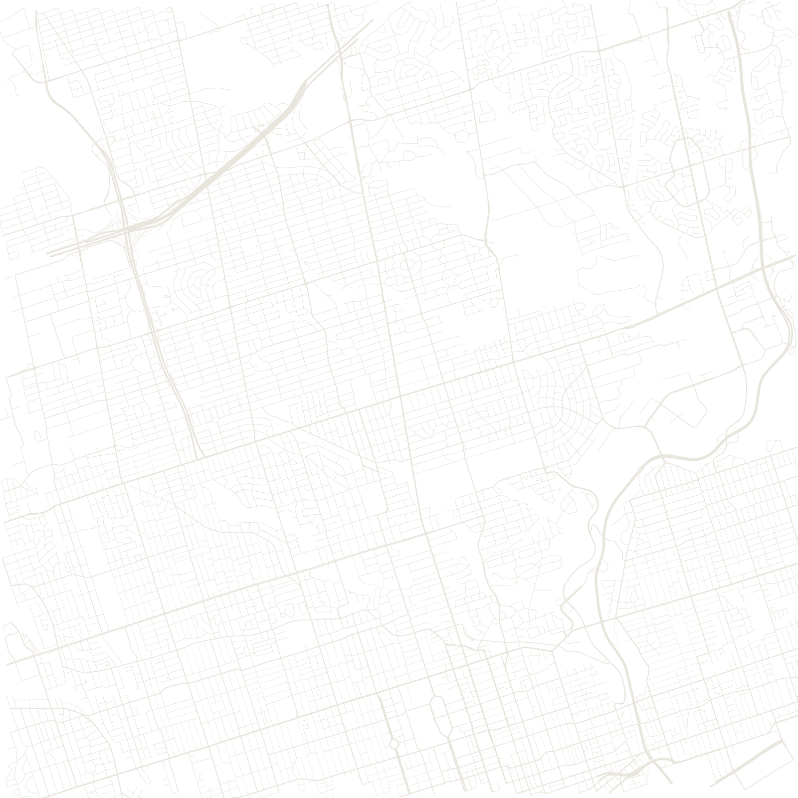
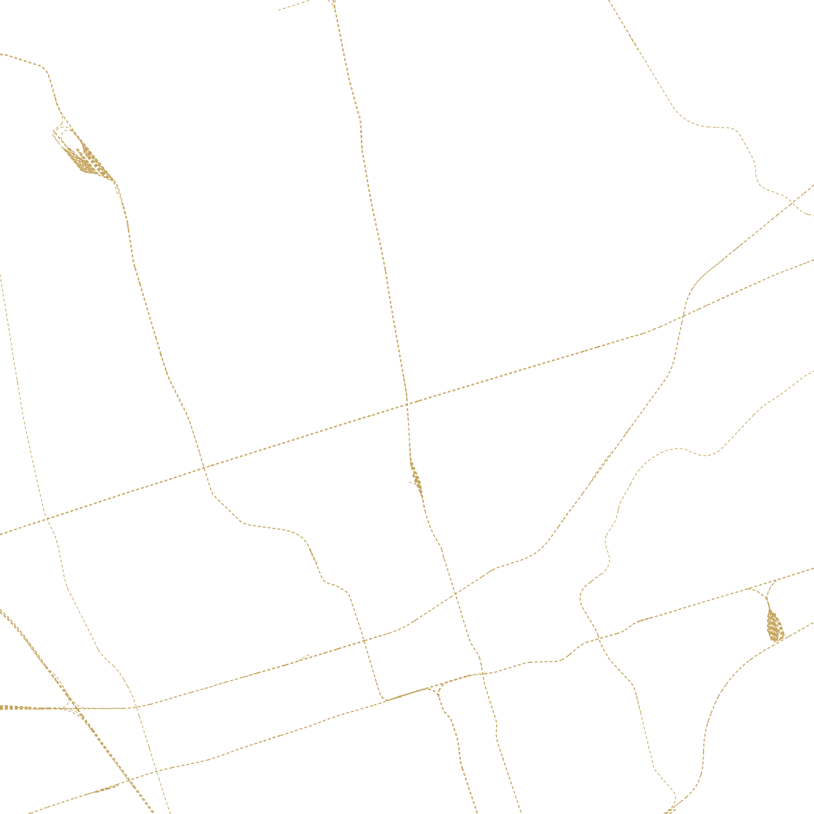
When York (Toronto) was founded in 1793, surveyors divided the surrounding land into farm lots along 'concession roads' spaced roughly two kilometres apart. As the city grew, those farm roads became the arterials — Yonge, Bloor, Eglinton, Lawrence — so the whole metropolis runs on a giant survey grid older than the city itself.
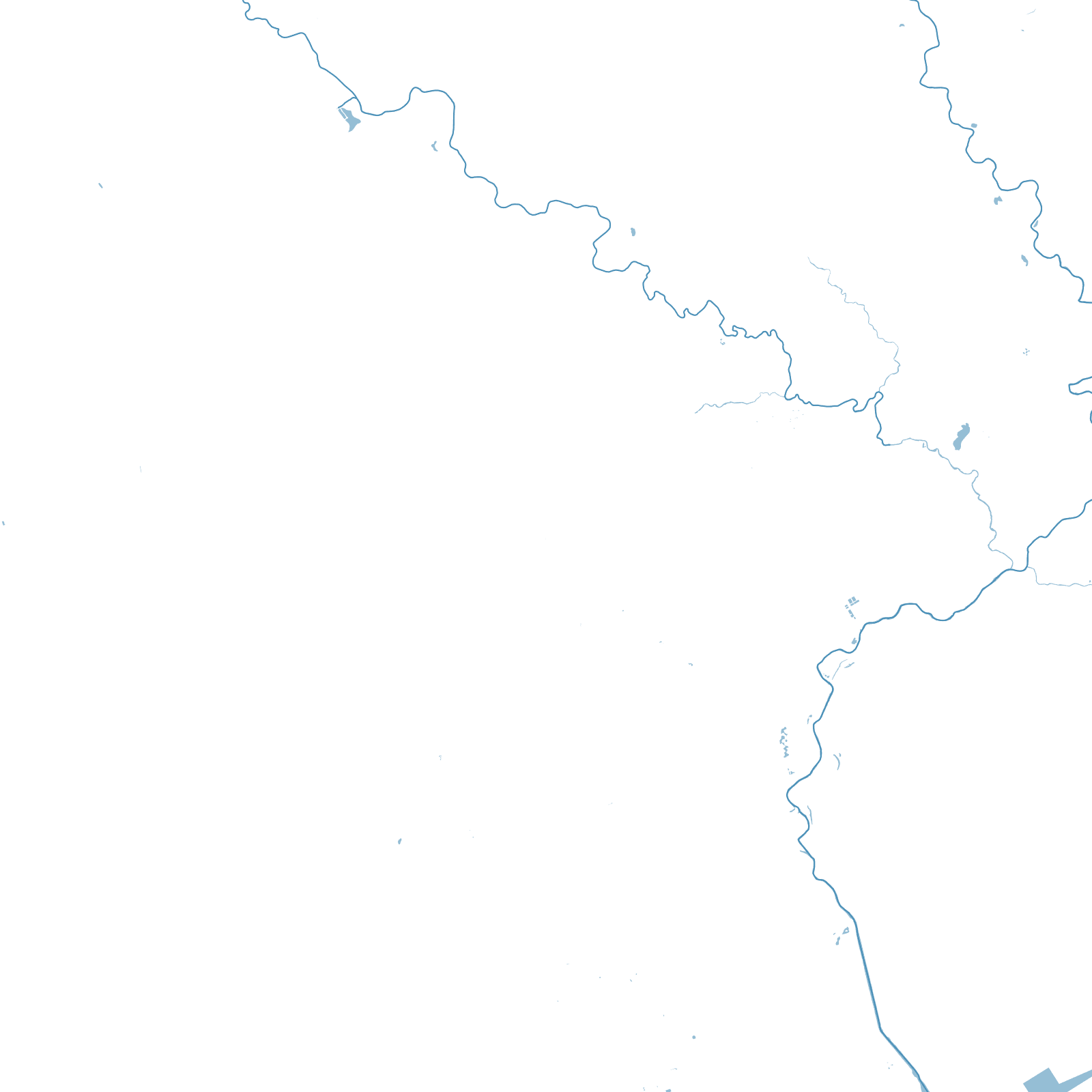
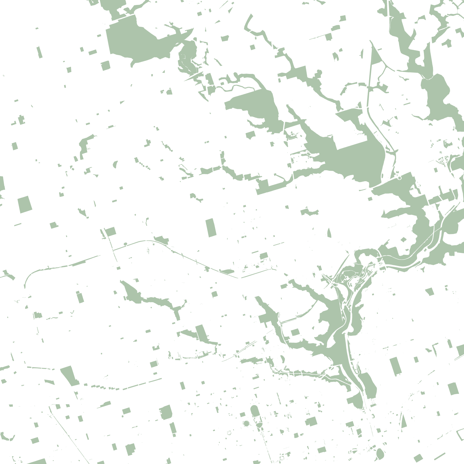
The grid has one enemy: the ravines. Rivers like the Don and Humber cut deep wooded valleys through the plan, forcing bridges and dead-ends — a hidden forest network beneath the street network, and the reason Toronto calls itself a city within a park.
1793York founded
≈2 kmbetween concession roads