CITYGRID
city archive


Why it looks like this
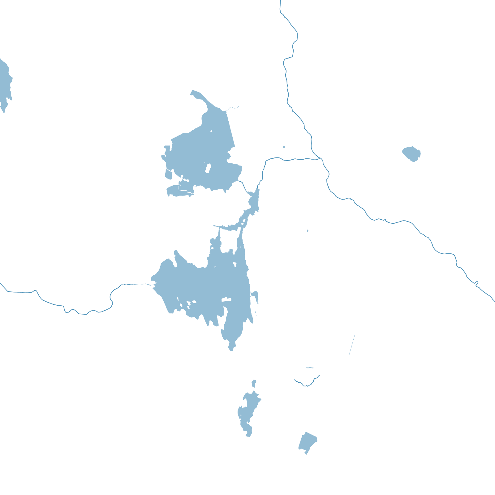
Maharana Udai Singh II moved Mewar's capital here in 1559, into a valley of the Aravalli hills defended by water: Lake Pichola, created by a dam in the 1360s, plus a chain of further lakes his successors added. The City Palace grew along Pichola's east shore, wing by wing, into Rajasthan's largest palace complex.
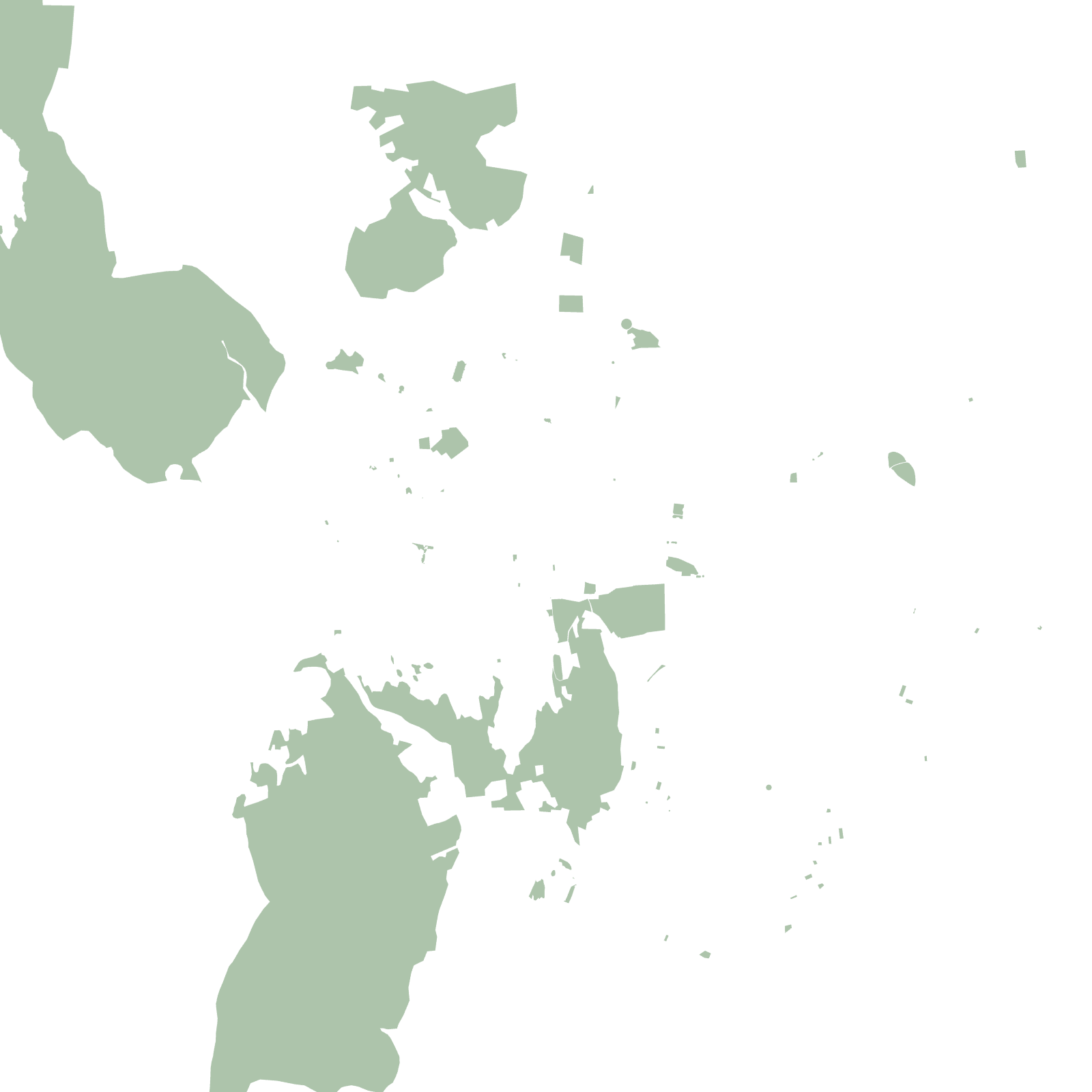
The old city behind it is a whitewashed maze of havelis, temples and ghats stepping down to the water, ringed by the remains of a city wall. Island palaces float on the lake — which is why the map shows streets wrapped like a ribbon around mirrors of water.
1559founded by Udai Singh II
1360sLake Pichola dammed