CITYGRID
city archive

Why it looks like this
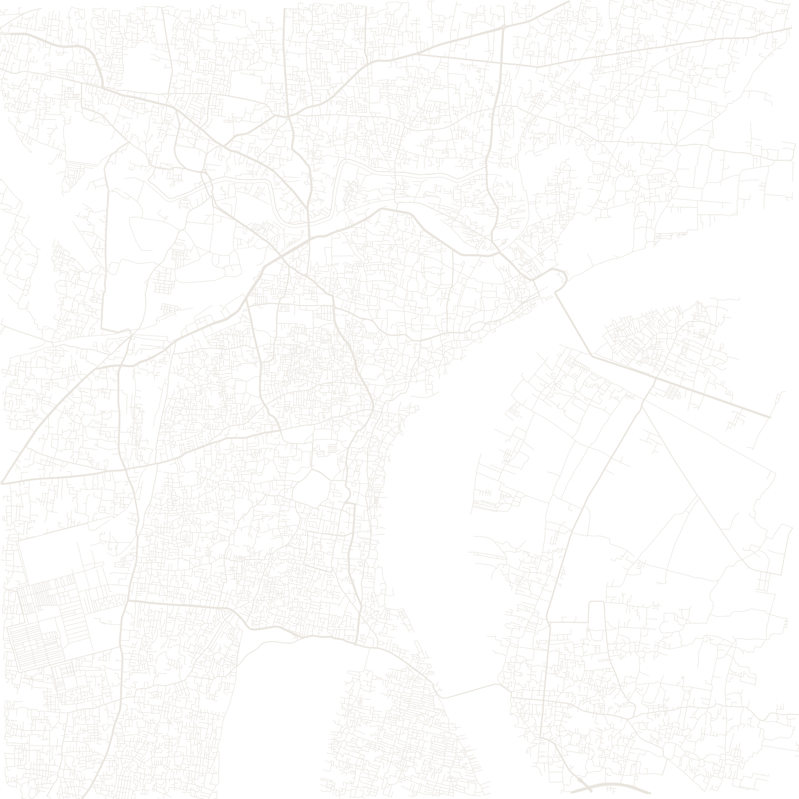
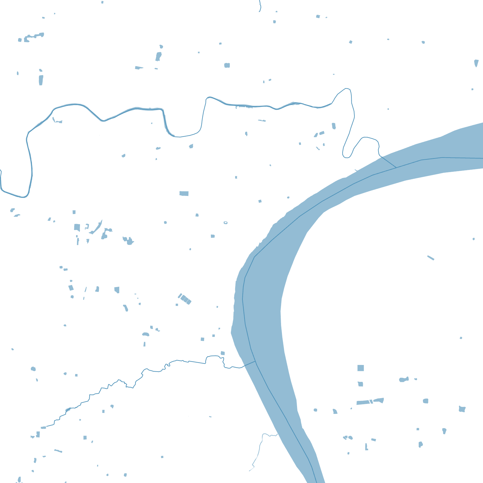
Varanasi was never planned. It grew slowly along the west bank of a great bend in the Ganges for about three thousand years. Everything leans toward the river: narrow pilgrim lanes, called galis, lead down to the 84 ghats. Most lanes are too narrow for anything wider than a handcart — so the road map goes almost blank exactly where the city is oldest and busiest.
Only the east bank is empty. By tradition, almost nothing is built across the river from the sacred waterfront, so the map ends in an open floodplain.
84ghats on the Ganges
3,000+ yrscontinuous habitation
≈1.7 Mpopulation