CITYGRID
city archive

Why it looks like this
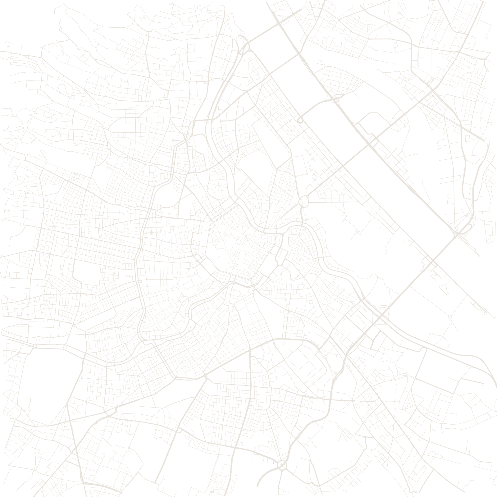
For centuries Vienna was a walled city ringed by a broad open glacis — the field of fire that twice stopped Ottoman sieges. In 1857 Emperor Franz Joseph decreed the fortifications obsolete, and the freed land became the Ringstrasse: a 5.3-kilometre horseshoe of boulevards lined with the opera, parliament, museums and city hall, the display window of an empire.
The map still reads in rings: the medieval knot around St Stephen's inside the Ring, the 19th-century districts out to the Gürtel (a second ring on the line of outer defences), and the Danube's regulated channels beyond — a city that turned its own armour into streets.
1857order to demolish the walls
≈5.3 kmthe Ringstrasse