CITYGRID
city archive
Why it looks like this
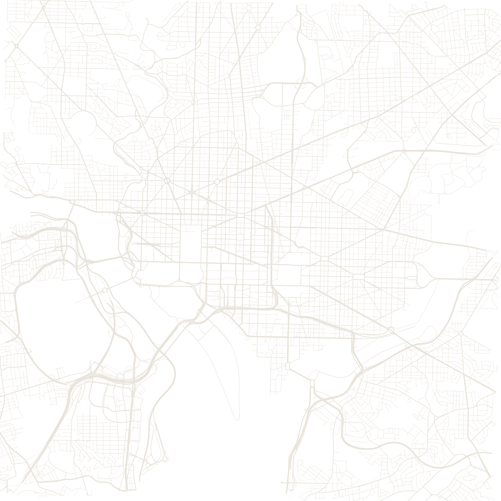
Washington was designed before it existed. Pierre Charles L'Enfant's 1791 plan places grand diagonal avenues on top of a simple street grid, in the French baroque style. Wherever a diagonal meets the grid, the space becomes a circle or a square — Dupont, Logan, Farragut — each meant as a stage for a monument.
The avenues are named after the states, and the two systems never fully agree: the grid gets you around, the diagonals remind you this is a capital.
1791L'Enfant plan
50state-named avenues
≈0.7 Mpopulation