CITYGRID
city archive

Why it looks like this
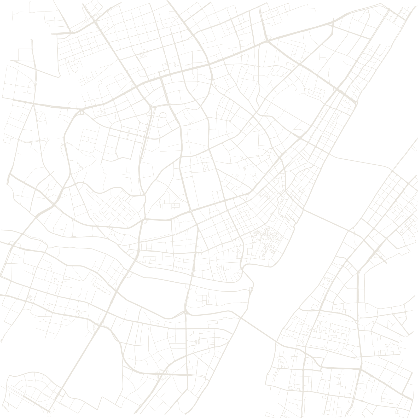
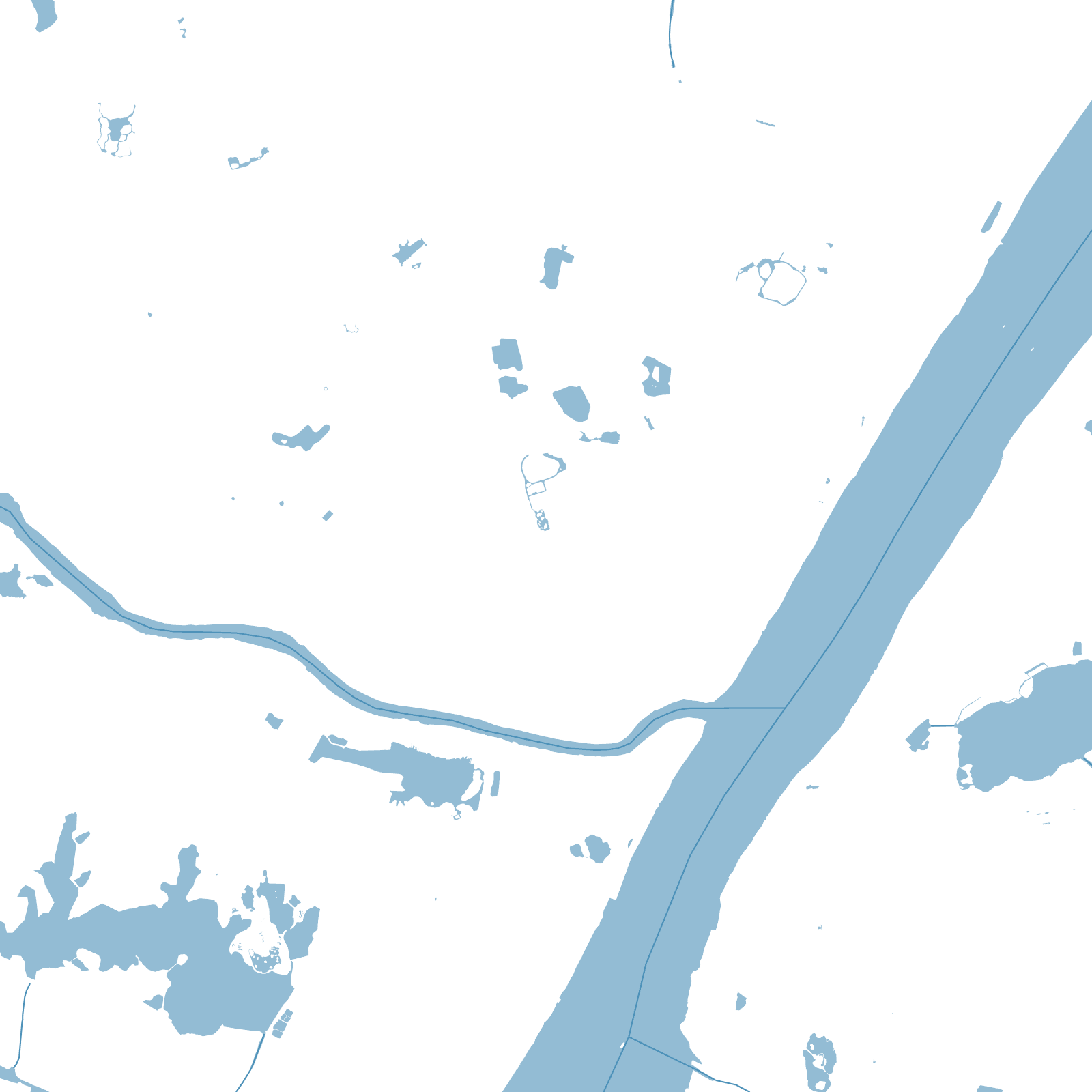
The map explains the name: WUchang south of the Yangtze, HANkou and Hanyang on the north side, split by the Han River's mouth. Each had its own character — Wuchang the administrative and university city where the 1911 revolution began, Hankou the treaty-port with concession-era grids along its bund, Hanyang the early industrial base.
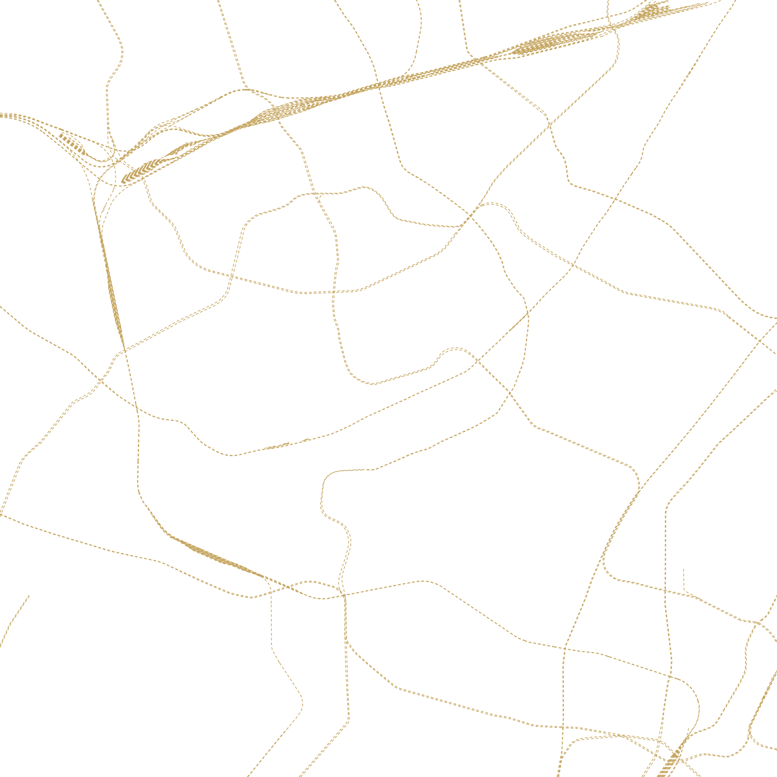
They were merged as 'Wuhan' in 1927, but geography kept them apart until engineering caught up: the First Yangtze River Bridge of 1957 — the first bridge ever built across the river — finally tied the three towns into one metropolis, now laced by dozens of bridges and tunnels and dotted with lakes.
3towns merged into Wuhan
1957first bridge over the Yangtze