CITYGRID
city archive
Why it looks like this
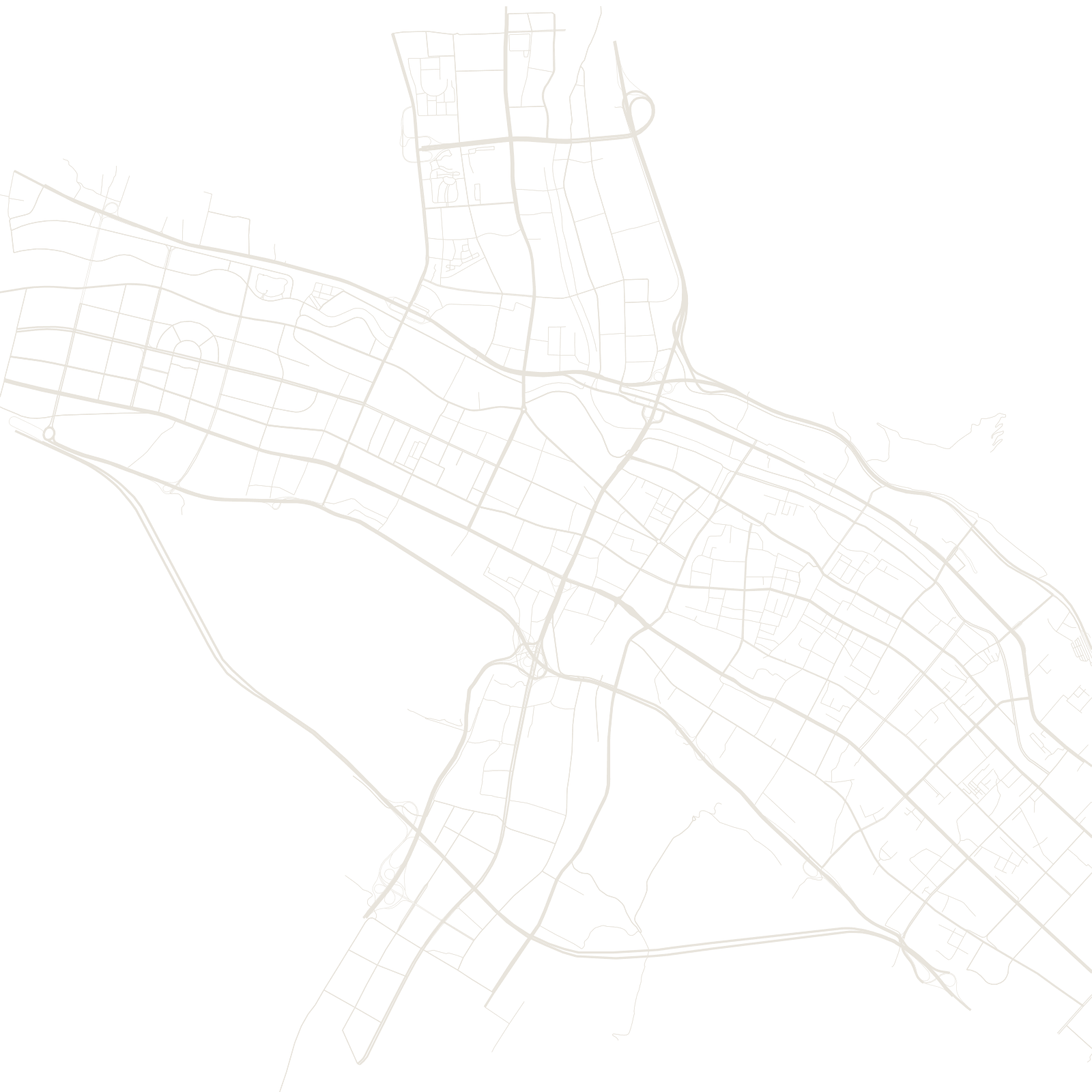
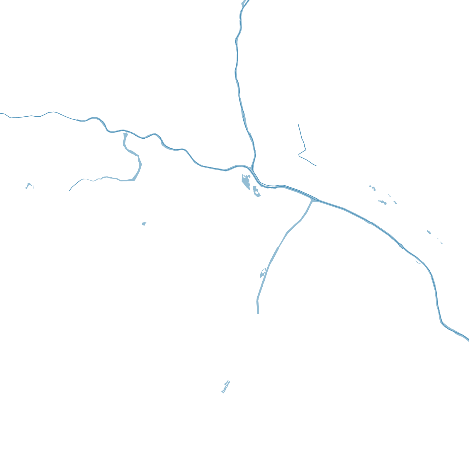
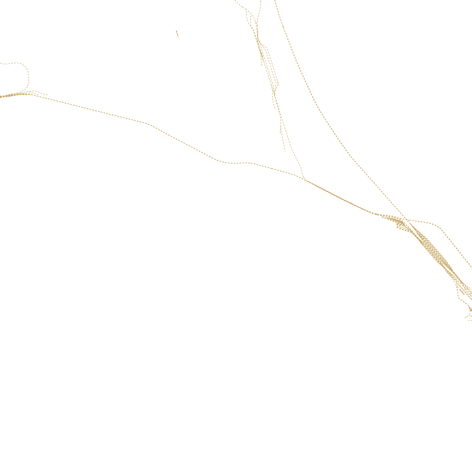
Xining guards the Hexi corridor's southern cousin: the route from China proper up onto the Qinghai–Tibet plateau. Caravans, then the railway to Lhasa (via the world's highest tracks), funnelled through this valley, and the city stretched along it — a cross-shaped map where valleys meet, walled by dry mountains.
It is a meeting city: Han, Hui, Tibetan and Salar communities share its markets, the great Dongguan Mosque stands downtown, and Kumbum (Ta'er) monastery — one of Tibetan Buddhism's most important — lies just outside town.
≈2,300 maltitude at the plateau's edge