CITYGRID
city archive

Why it looks like this
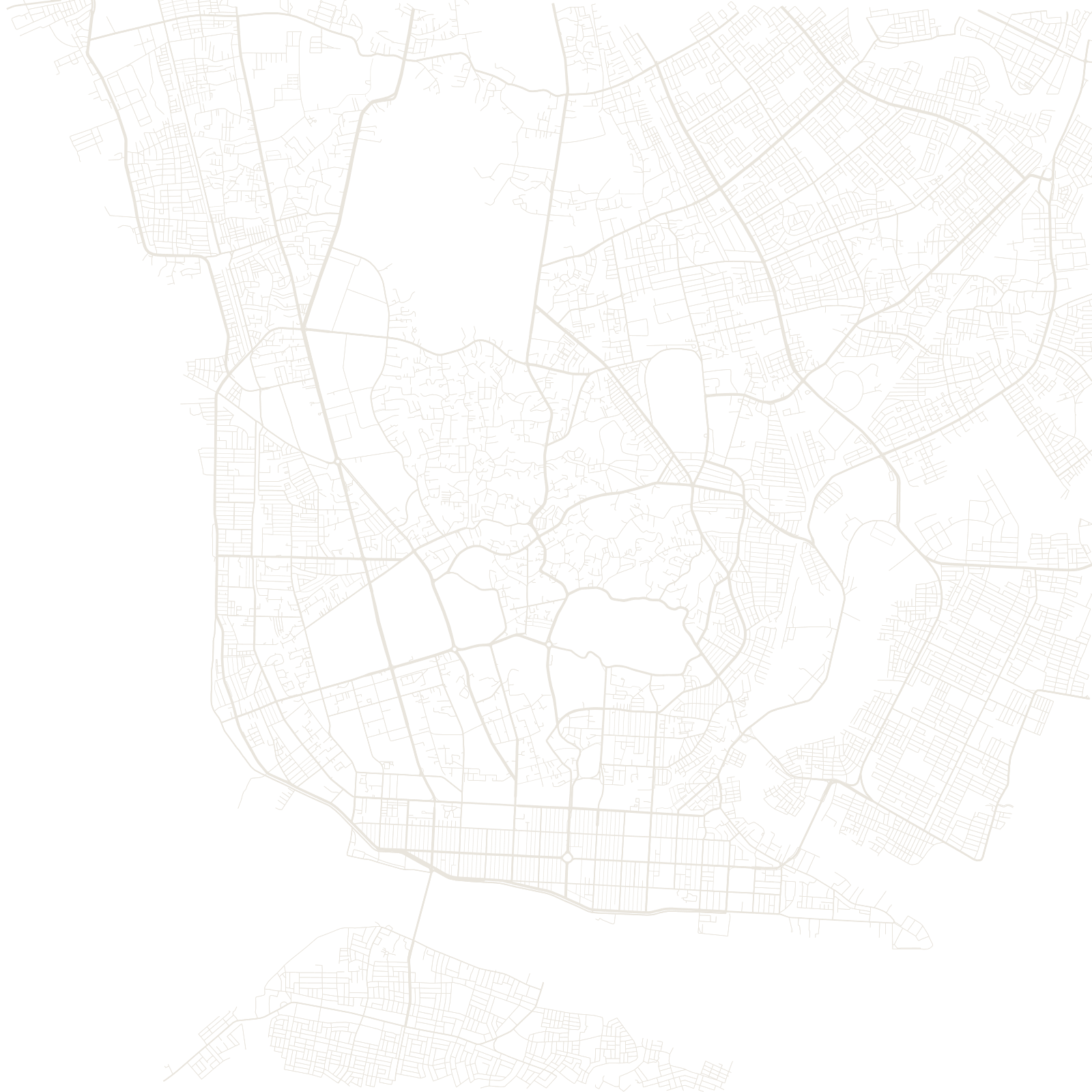
After annexing lower Burma in 1852, the British rebuilt Rangoon as their colonial capital: a strict grid of numbered streets on the river's north bank, with the ancient Sule Pagoda kept — and encircled — as the plan's centrepiece and mile zero. The result is one of Asia's most complete surviving colonial downtowns, its blocks still full of weathered British-era buildings.
North of the grid the pattern changes: winding roads climb between lakes and ridges toward the Shwedagon Pagoda, the gold-covered hill shrine that dominates the skyline and predates every street below it.
1852colonial grid planned
≈2,000 yrsage claimed for Sule Pagoda